1 Glenham Way, Chadderton, Oldham, OL9 8BW
About 1 Glenham Way
1 Glenham Way is a semi-detached house in Chadderton, Oldham, Oldham (OL9 8BW). It has a recorded floor area of 56 m² (around 602 sq ft) and council tax band A. The latest certificate (June 2009) returns a B (score 83), comfortably above the UK average. The latest certificate is from June 2009, so improvements made since then won't be reflected. At 56 m² this is the 6th smallest of 26 units on EPC record in the building, where floor areas span 38–122 m². The building's EPC ratings span C to B, with this unit at the top.
At 56 m² it's 25.4% smaller than the typical home in the postcode (75 m² median across 25 EPCs).
Everything you need to know about 1 Glenham Way
The true value, the hidden risks and the full sale history, in one report.
Pick your report · every report is £14.99
One time fee only - money back guarantee

The data behind every report


Energy performance
1 Glenham Way's carbon output is low for the local stock.
EPC Expired
This certificate is over 10 years old and is no longer valid.Expired 01 Jun 2019
EPC Rating
Get a survey for this property
Level 2 HomeBuyer Report
We've checked 10 risk factors against the available data for this property and believe a Level 2 HomeBuyer Report could be a suitable option for you.
From £495 · Includes VAT
Planning history
1 Glenham Way has no planning applications on record.
But the area is active
2 notable applications nearby — larger schemes and conversions that could reshape the street. The report maps them all.
Sales history & valuation
1 Glenham Way has no Land Registry sales on file, suggesting it has stayed in the same hands since registration began.
£128,000
Modelled from EPC, postcode comparables.
No sales recorded with HM Land Registry
That can mean the property has never traded since the registry began publishing in 1995, was a new build that hasn't been registered yet, or is held in the same hands long-term.
Median price across the last 5 sales in OL9 8BW: £92,000 (2025–2019).
Nearby sales in OL9 8BW
10 Glenham Way, Chadderton, Oldham, OL9 8BW
Sold Jun 2025
£105,0004 Glenham Way, Chadderton, Oldham, OL9 8BW
Sold Aug 2021
£87,0002 Glenham Way, Chadderton, Oldham, OL9 8BW
Sold Apr 2021
£92,0006 Glenham Way, Chadderton, Oldham, OL9 8BW
Sold Mar 2019
£74,5007 Glenham Way, Chadderton, Oldham, OL9 8BW
Sold Sept 2017
£88,500
Versus other Glenham Way homes
EPC Rating
83 (B)
Street avg 80 (C)
Floor Area
56 m²
Street avg 49 m²
CO₂ Emissions
1.4 t/year
Street avg 1.3 t/year
Everything you need to know about 1 Glenham Way
The true value, the hidden risks and the full sale history, in one report.
Pick your report · every report is £14.99
One time fee only - money back guarantee
The data behind every report
Similar properties nearby
1 Dunster House, Dunster Close, Chadderton
OL9 8DJ
1 Butterworth Lane, Chadderton
OL9 8ED
1 Fourth Avenue, Chadderton
OL9 8PG
1 Bredbury Street, Chadderton
OL9 8QW
1 Glebe Street, Chadderton
OL9 8HY
1 Grampian Close, Chadderton
OL9 8PT
1 Brooklands Avenue, Chadderton
OL9 8PF
1 Gorton Street, Chadderton
OL9 8QQ
The neighbourhood at a glance
Rail-style transport is unusually close for this postcode.
Crime
1/mo
Steady year-on-year across the wider district.
Nearest stop
0.1 km
Thompson Lane — bus stop.
Closest school
0.5 km
Stanley Road Primary School. 51 schools nearby.
Go deeper on the local area
A Local Area report breaks down crime, transport links, schools and air quality in depth.
Road noise across the postcode
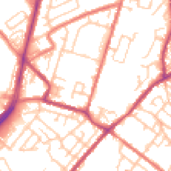
Daytime· 07:00 – 23:00
53.4dB
Night-time· 23:00 – 07:00
42.9dB