3 Gorton Street, Chadderton, Oldham, OL9 8QQ
About 3 Gorton Street
3 Gorton Street is a property in Chadderton, Oldham, Oldham (OL9 8QQ). It has council tax band B.
Energy performance
No EPC on record
This property doesn't have an Energy Performance Certificate yet. An EPC is required to sell or let — and unlocks our automated valuation.
Get a survey for this property
Level 2 HomeBuyer Report
We've checked 10 risk factors against the available data for this property and believe a Level 2 HomeBuyer Report could be a suitable option for you.
Planning history
No planning applications are recorded against 3 Gorton Street, Chadderton, Oldham, OL9 8QQ. The full report also covers planning activity across the surrounding area.
Sales history & valuation
No sales recorded with HM Land Registry
That can mean the property has never traded since the registry began publishing in 1995, was a new build that hasn't been registered yet, or is held in the same hands long-term.
Median price across the last 5 sales in OL9 8QQ: £120,000 (2023–2010).
Nearby sales in OL9 8QQ
2b, Gorton Street, Chadderton, Oldham, OL9 8QQ
Sold Jun 2023
£195,00015 Gorton Street, Chadderton, Oldham, OL9 8QQ
Sold Dec 2018
£134,5002a, Gorton Street, Chadderton, Oldham, OL9 8QQ
Sold Feb 2016
£120,0009 Gorton Street, Chadderton, Oldham, OL9 8QQ
Sold Feb 2010
£115,9505 Gorton Street, Chadderton, Oldham, OL9 8QQ
Sold Nov 2006
£115,000
Similar properties nearby
1 Abbey Grove, Chadderton
OL9 8RJ
1 Alcester Street, Chadderton
OL9 8LD
1 Argyll Road, Chadderton
OL9 8AJ
1 Ashton Crescent, Chadderton
OL9 8HE
1 Bardsley Street, Chadderton
OL9 8HG
1 Berkeley Avenue, Chadderton
OL9 8BL
1 Bernice Avenue, Chadderton
OL9 8QJ
1 Birchenlea Street, Chadderton
OL9 8HA
The neighbourhood at a glance
Rail-style transport is unusually close for this postcode.
Crime
1/mo
Steady year-on-year across the wider district.
Nearest stop
0.2 km
Robinson Street — bus stop.
Closest school
0.3 km
Freehold Community Academy. 51 schools nearby.
Road noise across the postcode
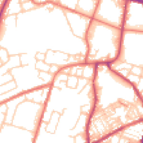
Daytime· 07:00 – 23:00
53.0dB

Night-time· 23:00 – 07:00
42.3dB