3 Daisy Street, Chadderton, Oldham, OL9 0LB
About 3 Daisy Street
3 Daisy Street is a property in Chadderton, Oldham, Oldham (OL9 0LB). It has council tax band B.
Untraded for 19 years, with the last transfer in July 2007. That sale landed at the peak of the pre-credit-crunch market, which is a useful reference point when interpreting the price.
Everything you need to know about 3 Daisy Street
The true value, the hidden risks and the full sale history, in one report.
Pick your report · every report is £14.99
One time fee only - money back guarantee

The data behind every report


Energy performance
No EPC on record
This property doesn't have an Energy Performance Certificate yet. An EPC is required to sell or let — and unlocks our automated valuation.
Get a survey for this property
Level 2 HomeBuyer Report
We've checked 10 risk factors against the available data for this property and believe a Level 2 HomeBuyer Report could be a suitable option for you.
Planning history
3 Daisy Street has no planning applications on record.
But the area is active
2 notable applications nearby — larger schemes and conversions that could reshape the street. The report maps them all.
Sales history & valuation
The latest sale landed at the peak of the pre-credit-crunch market — a high-water reference point.
£138,000
Recorded with HM Land Registry.
Sales timeline
22 July 2007Most recent
£138,000
Median price across the last 5 sales in OL9 0LB: £124,000 (2025–2013).
Nearby sales in OL9 0LB
10 Daisy Street, Chadderton, Oldham, OL9 0LB
Sold Feb 2025
£175,0004 Daisy Street, Chadderton, Oldham, OL9 0LB
Sold Jan 2021
£104,9506 Daisy Street, Chadderton, Oldham, OL9 0LB
Sold Jan 2020
£100,0005 Daisy Street, Chadderton, Oldham, OL9 0LB
Sold Oct 2013
£124,9508 Daisy Street, Chadderton, Oldham, OL9 0LB
Sold Nov 2012
£100,000
Everything you need to know about 3 Daisy Street
The true value, the hidden risks and the full sale history, in one report.
Pick your report · every report is £14.99
One time fee only - money back guarantee
The data behind every report
Similar properties nearby
1 Alasdair Close, Chadderton
OL9 0NE
1 Butterworth Street, Chadderton
OL9 0JL
1 Daisy Street, Chadderton
OL9 0LB
1 Briar Grove, Chadderton
OL9 0EH
1 Ash Walk, Chadderton
OL9 0JP
1 Eustace Street, Chadderton
OL9 0DZ
1 Cypress Avenue, Chadderton
OL9 0JS
1 Fern Street, Chadderton
OL9 0LA
The neighbourhood at a glance
Crime
1/mo
Steady year-on-year across the wider district.
Nearest stop
0.1 km
Broadway — bus stop.
Closest school
0.1 km
St Herbert's RC Primary School, a Voluntary Academy. 45 schools nearby.
Go deeper on the local area
A Local Area report breaks down crime, transport links, schools and air quality in depth.
Road noise across the postcode
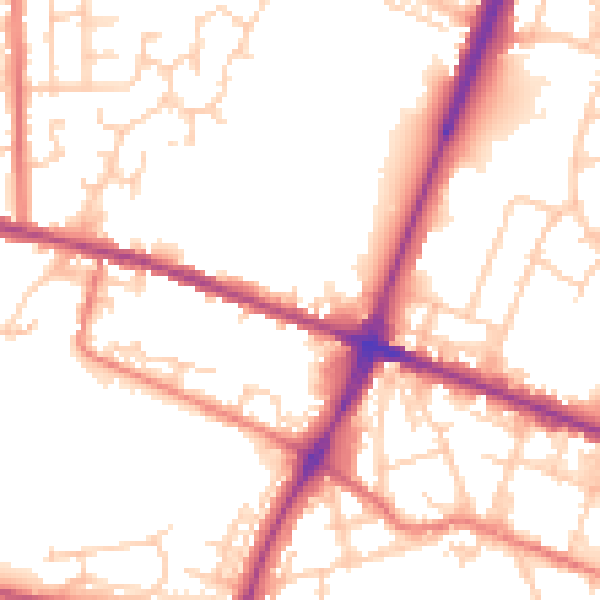
Daytime· 07:00 – 23:00
53.1dB

Night-time· 23:00 – 07:00
43.9dB