9 Ainsdale Crescent, Royton, Oldham, OL2 6AX
About 9 Ainsdale Crescent
9 Ainsdale Crescent is a property in Royton, Oldham, Oldham (OL2 6AX). It has council tax band C.
It hasn't traded since May 2004, a hold of 22 years that's notably long for the area. 2 planning records sit against the property, 0 approved, 2 refused.
Everything you need to know about 9 Ainsdale Crescent
The true value, the hidden risks and the full sale history, in one report.
Pick your report · every report is £14.99
One time fee only - money back guarantee

The data behind every report


Energy performance
No EPC on record
This property doesn't have an Energy Performance Certificate yet. An EPC is required to sell or let — and unlocks our automated valuation.
Get a survey for this property
Level 2 HomeBuyer Report
We've checked 10 risk factors against the available data for this property and believe a Level 2 HomeBuyer Report could be a suitable option for you.
Planning history
Planning history includes both a loft conversion and an extension — the classic family-home expansion.
2 applications on record at 9 Ainsdale Crescent, Royton, Oldham, OL2 6AX
- Mar 2007Loft ConversionFullOutcome in report
Front and rear dormers
- Documents
- 8 docs on file
- Reference
- HH/052643/07
- More recent applications — locked
- ExtensionJun 2016Decision
Unlock 9 Ainsdale Crescent, Royton, Oldham, OL2 6AX's full planning history
You're seeing the shape of it. The report has the substance.
- Every decision — granted, refused or withdrawn (2 on record)
- All 2 applications on this property in full, plus 6 notable nearby
- The 14 documents, officer reports & conditions
- What the pattern means for extending or converting here
One time fee only - money back guarantee
Sales history & valuation
£116,000
Recorded with HM Land Registry.
Sales timeline
27 May 2004Most recent
£116,000
Median price across the last 5 sales in OL2 6AX: £206,000 (2024–2021).
Nearby sales in OL2 6AX
15 Ainsdale Crescent, Royton, Oldham, OL2 6AX
Sold Dec 2024
£222,5002 Ainsdale Crescent, Royton, Oldham, OL2 6AX
Sold Aug 2024
£206,0004 Ainsdale Crescent, Royton, Oldham, OL2 6AX
Sold Dec 2023
£185,0001 Ainsdale Crescent, Royton, Oldham, OL2 6AX
Sold May 2023
£297,5007 Ainsdale Crescent, Royton, Oldham, OL2 6AX
Sold Nov 2016
£145,000
Everything you need to know about 9 Ainsdale Crescent
The true value, the hidden risks and the full sale history, in one report.
Pick your report · every report is £14.99
One time fee only - money back guarantee
The data behind every report
Similar properties nearby
1 Bodmin Close, Royton
OL2 6LD
1 Browfield Way, Royton
OL2 6DE
1 Balmoral Avenue, Royton
OL2 6NY
1 Brotherdale Close, Royton
OL2 6NX
1 Ashleigh Close, Royton
OL2 6BE
1 Beckley Close, Royton
OL2 6RJ
1 Brierwood Close, Royton
OL2 6DF
1 Bullcote Green, Royton
OL2 6NJ
The neighbourhood at a glance
Crime
1/mo
Steady year-on-year across the wider district.
Nearest stop
0.1 km
Old Edge Lane — bus stop.
Closest school
0.3 km
St Anne's CofE (Aided) Primary School. 49 schools nearby.
Go deeper on the local area
A Local Area report breaks down crime, transport links, schools and air quality in depth.
Road noise across the postcode
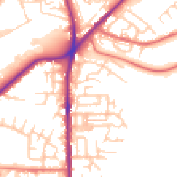
Daytime· 07:00 – 23:00
52.4dB

Night-time· 23:00 – 07:00
42.9dB