Calderdale Court, Flat 2, Denbydale Way, Royton, Oldham, OL2 5TJ
About Calderdale Court
Calderdale Court is a semi-detached house in Royton, Oldham, Oldham (OL2 5TJ). It has a recorded floor area of 81 m² (around 872 sq ft), construction records dating it to 1967-1975 and council tax band A. The latest certificate (February 2018) shows a C (score 71). The recommended improvements would push it to B (score 85).
At 81 m² it's 24.9% larger than the typical home in the postcode (65 m² median across 28 EPCs).
Everything you need to know about Calderdale Court
The true value, the hidden risks and the full sale history, in one report.
Pick your report · every report is £14.99
One time fee only - money back guarantee

The data behind every report


Energy performance
EPC Rating
Get a survey for this property
Level 2 HomeBuyer Report
We've checked 10 risk factors against the available data for this property and believe a Level 2 HomeBuyer Report could be a suitable option for you.
From £495 · Includes VAT
Planning history
Calderdale Court has no planning applications on record.
But the area is active
3 notable applications nearby — larger schemes and conversions that could reshape the street. The report maps them all.
Sales history & valuation
Calderdale Court has no Land Registry sales on file, suggesting it has stayed in the same hands since registration began.
£164,000
Modelled from EPC, postcode comparables.
No sales recorded with HM Land Registry
That can mean the property has never traded since the registry began publishing in 1995, was a new build that hasn't been registered yet, or is held in the same hands long-term.
Median price across the last 5 sales in OL2 5TJ: £240,000 (2024–2022).
Nearby sales in OL2 5TJ
Calderdale Court, Flat 5, Denbydale Way, Royton, Oldham, OL2 5TJ
Sold Feb 2024
£150,00032 Denbydale Way, Royton, Oldham, OL2 5TJ
Sold Jul 2023
£299,95026 Denbydale Way, Royton, Oldham, OL2 5TJ
Sold Jun 2023
£310,00038 Denbydale Way, Royton, Oldham, OL2 5TJ
Sold Feb 2023
£240,000Calderdale Court, Flat 3, Denbydale Way, Royton, Oldham, OL2 5TJ
Sold Apr 2022
£131,500
Versus other Denbydale Way homes
On co₂ emissions, Calderdale Court stands well clear of the street.
EPC Rating
71 (C)
Street avg 64 (D)
Floor Area
81 m²
Street avg 90 m²
CO₂ Emissions
3.0 t/year
Street avg 4.1 t/year
Habitable Rooms
4 rooms
Street avg 5 rooms
Everything you need to know about Calderdale Court
The true value, the hidden risks and the full sale history, in one report.
Pick your report · every report is £14.99
One time fee only - money back guarantee
The data behind every report
Similar properties nearby
Calderdale Court, Flat 6, Denbydale Way, Royton
OL2 5TJ
Calderdale Court, Flat 12, Denbydale Way, Royton
OL2 5TJ
Calderdale Court, Flat 5, Denbydale Way, Royton
OL2 5TJ
Calderdale Court, Flat 3, Denbydale Way, Royton
OL2 5TJ
Calderdale Court, Flat 14, Denbydale Way, Royton
OL2 5TJ
Calderdale Court, Flat 10, Denbydale Way, Royton
OL2 5TJ
Calderdale Court, Flat 11, Denbydale Way, Royton
OL2 5TJ
Calderdale Court, Flat 9, Denbydale Way, Royton
OL2 5TJ
The neighbourhood at a glance
Daytime road noise here sits well below conversation level — a quiet pocket of the postcode.
Crime
1/mo
Steady year-on-year across the wider district.
Nearest stop
0.1 km
Denbydale Way — bus stop.
Closest school
0.1 km
Thorp Primary School. 28 schools nearby.
Go deeper on the local area
A Local Area report breaks down crime, transport links, schools and air quality in depth.
Road noise across the postcode
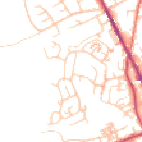
Daytime· 07:00 – 23:00
49.3dB

Night-time· 23:00 – 07:00
39.5dB