9 Burdett Avenue, Rochdale, OL12 7QU
About 9 Burdett Avenue
9 Burdett Avenue is a two-bedroom semi-detached house in Rochdale (OL12 7QU). It has a recorded floor area of 56 m² (around 603 sq ft), construction records dating it to 1983-1990 and council tax band B. The latest certificate (March 2019) shows a D (score 62), on the cusp of jumping into the C band. The recommended improvements would lift it to B (score 89), a 2-band jump.
Across 1995–2021, sale prices on this property compounded at 5.3% per year. Today's modelled estimate of £214,000 is 29.7% above the 2021 sale price. On a £-per-square-foot basis, the last sale (£274/sq ft) was about 38.1% above the typical sold price in the postcode. Last sale on file: £165,000 in May 2021. That sale was during the post-pandemic price surge, when transactions cleared materially above pre-2020 trend.
What this property has
Inside
- Bedrooms2
- Bathrooms1
Everything you need to know about 9 Burdett Avenue
The true value, the hidden risks and the full sale history, in one report.
30-day money-back guarantee

The data behind every report


Energy performance
Recommended upgrades on file would lift this property by multiple EPC bands.
EPC Rating
Get a survey for this property
Level 2 HomeBuyer Report
We've checked 10 risk factors against the available data for this property and believe a Level 2 HomeBuyer Report could be a suitable option for you.
From £545 · Includes VAT
Planning history
9 Burdett Avenue has no planning applications on record.
Notable planning nearby
3applications of note in the surrounding area
Sales history & valuation
Sale price has grown by over 3x since 1995.
£214,000
Modelled from EPC, postcode comparables and a sale-price growth of 5.3% per year over 26 years.
£165,000
Growth on file: 5.3% per year over 26 years.
Sales timeline
13 May 2021Most recent
£165,000
+275.0%over 25 years27 October 1995
£44,000
Median price across the last 5 sales in OL12 7QU: £186,000 (2025–2021).
Nearby sales in OL12 7QU
Versus other Burdett Avenue homes
Price per m²
£2,946
Street avg £2,731
Floor Area
56 m²
Street avg 65 m²
Habitable Rooms
4 rooms
Street avg 4 rooms
CO₂ Emissions
3.5 t/year
Street avg 3.3 t/year
Everything you need to know about 9 Burdett Avenue
The true value, the hidden risks and the full sale history, in one report.
30-day money-back guarantee
The data behind every report
Similar properties nearby
1 Belvoir Street
OL12 7ET
1 Back Patience Street
OL12 7DD
1 Columbine Close
OL12 7UJ
1 Balfour Road
OL12 7EH
1 Charles Whittaker Street
OL12 7QH
1 Carfax Fold
OL12 7GH
1 Broad Ing
OL12 7AR
1 Coppingford Close
OL12 7PR
The neighbourhood at a glance
Crime
1/mo
Steady year-on-year across the wider district.
Nearest stop
0.1 km
Moorland Avenue — bus stop.
Closest school
0.4 km
St Vincent's Roman Catholic Primary School, a Voluntary Academy. 18 schools nearby.
Go deeper on the local area
The full report breaks down crime, transport links, schools and air quality in depth.
Road noise across the postcode
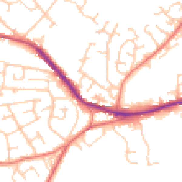
Daytime· 07:00 – 23:00
50.7dB

Night-time· 23:00 – 07:00
40.4dB