27 Bridgefold Road, Rochdale, OL11 5BP
About 27 Bridgefold Road
27 Bridgefold Road is a four-bedroom semi-detached house in Rochdale (OL11 5BP). It has a recorded floor area of 128 m² (around 1378 sq ft) and construction records dating it to 2012 onwards. Tenure is freehold. The latest certificate (May 2023) shows a C (score 80), near the top of the C band. Earlier certificates rated it B (November 2012); the latest reading is one band lower. Between certificates, lighting went from Average to Very Good. The recommended improvements would push it to B (score 87). Other recorded features include a basement.
At 128 m² the property is well over the postcode median (94 m² across 21 EPCs), placing it in the larger end of the local stock. Across 2015–2023, sale prices on this property compounded at 5.8% per year. On a £-per-square-foot basis, the last sale (£196/sq ft) was about 28% above the typical sold price in the postcode. Most recent transfer: December 2023 at £270,000.
What this property has
Inside
- Bedrooms4
- Bathrooms2
- Dining roomYes
- EnsuiteYes
- BasementYes
Outside
- Private gardenYes
- ParkingOff road
Building
- TenureFreehold
- Central heatingYes
Everything you need to know about 27 Bridgefold Road
The true value, the hidden risks and the full sale history, in one report.
30-day money-back guarantee

The data behind every report


Energy performance
EPC Rating
Property Improvements
Changes detected from historical EPC data
Heating controls upgraded for better temperature management
Loft insulation upgraded to recommended levels
Planning history
27 Bridgefold Road has no planning applications on record.
Notable planning nearby
1applications of note in the surrounding area
Sales history & valuation
Latest sale on 27 Bridgefold Road was the highest on Land Registry record across the postcode.
£282,000
Modelled from EPC, postcode comparables and a sale-price growth of 5.8% per year over 8 years.
£270,000
Growth on file: 5.8% per year over 8 years.
Sales timeline
15 December 2023Most recent
£270,000
+58.9%over 8 years27 September 2015
£169,950
Median price across the last 5 sales in OL11 5BP: £225,000 (2024–2019).
Nearby sales in OL11 5BP
Versus other Bridgefold Road homes
27 Bridgefold Road is notably below the street on co₂ emissions.
Price per m²
£2,109
Street avg £1,472
Floor Area
128 m²
Street avg 104 m²
Habitable Rooms
6 rooms
Street avg 5 rooms
CO₂ Emissions
2.8 t/year
Street avg 2.1 t/year
Everything you need to know about 27 Bridgefold Road
The true value, the hidden risks and the full sale history, in one report.
30-day money-back guarantee
The data behind every report
Similar properties nearby
1 Bridgefold Road
OL11 5BP
1 Bamford Mews, Norden Road
OL11 5NX
1 Bramley Road
OL11 5QN
1 Aintree Drive
OL11 5SH
1 Bowker Close
OL11 5FD
1 Caithness Road
OL11 5PB
1 Arnside Drive
OL11 5HS
1 Bankfield Lane
OL11 5RJ
The neighbourhood at a glance
Crime
1/mo
Steady year-on-year across the wider district.
Nearest stop
0.1 km
Spotland Road — bus stop.
Closest school
0.5 km
Spotland Primary Academy. 33 schools nearby.
Go deeper on the local area
The full report breaks down crime, transport links, schools and air quality in depth.
Road noise across the postcode
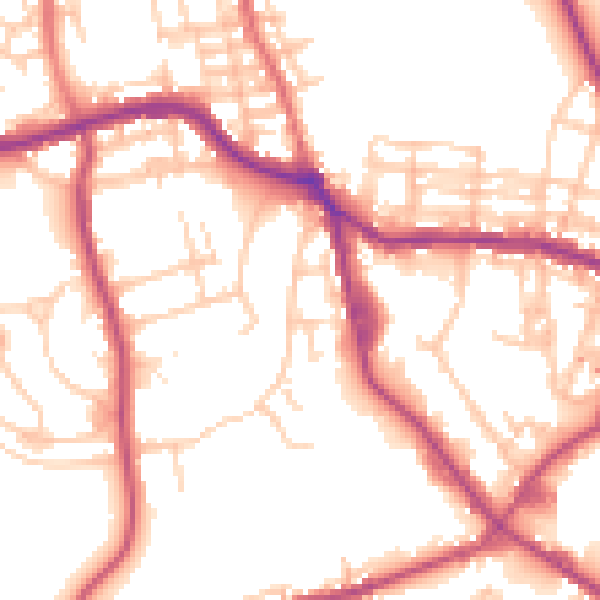
Daytime· 07:00 – 23:00
53.2dB

Night-time· 23:00 – 07:00
44.3dB