Skip to content

15 Bridgefold Road, Rochdale, OL11 5BP

Property type
Semi-detached
Habitable rooms
5
From EPC
Floor area
86 m²
926 sq ft
Energy rating
C
Score 79
Council tax
Band B
Tenure
Private Rental
Overview

About 15 Bridgefold Road

A plain-English summary derived from public records, EPC certificates, sold prices and local data.

15 Bridgefold Road is a semi-detached house in Rochdale (OL11 5BP). It has a recorded floor area of 86 m² (around 926 sq ft), construction records dating it to 2012 onwards and council tax band B. The latest certificate (July 2022) shows a C (score 79), near the top of the C band. The rating has held steady at C across 2 certificates since July 2012. Between certificates, lighting went from Average to Very Good. The recommended improvements would push it to B (score 91).

Across 2019–2023, sale prices on this property compounded at -53.4% per year. Today's modelled estimate of £213,000 sits 3772.7% above the 2023 sale of £5,500. On a £-per-square-foot basis, the last sale (£6/sq ft) was about 96.1% below the postcode norm. Last sale on file: £5,500 in November 2023.

Before you decide

Everything you need to know about 15 Bridgefold Road

The true value, the hidden risks and the full sale history, in one report.

£14.99one-off

30-day money-back guarantee

Preview of the full property report

The data behind every report

  • HM Land Registry, source of sold price history
  • Department for Education, source of schools data
  • Police.uk, source of crime statistics
  • Department for Transport, source of stations and transport links
  • Environment Agency, source of flood risk data
  • Department for Environment, Food & Rural Affairs, source of road noise data
  • PlanIt, source of planning application records
  • Beautiful Places, source of nearby scenic places
Energy

Energy performance

Every EPC certificate filed against this property — current rating, recorded improvements, and where there's headroom to reach a higher band.
Current Certificate(1 of 2)
Jul 2022

EPC Rating

A
B
C
C79
D
E
F
G
Main Heating
Gas
Main Fuel
Gas
Hot Water
Good
Windows
Good
CO2 Emissions
2.0 t/year
Occupancy
Rented

Property Improvements

Changes detected from historical EPC data

Jul 2022from Jul 2012
Roof Insulation
InsulatedWell Insulated

Loft insulation upgraded to recommended levels

Low Energy Lighting
10%100%

More low energy lighting installed

Planning

Planning history

Applications and permits filed against 15 Bridgefold Road, Rochdale, OL11 5BP, sourced from the PlanIt planning register.

15 Bridgefold Road has no planning applications on record.

Notable planning nearby

1applications of note in the surrounding area

Price

Sales history & valuation

Recorded transactions, our model's current estimate, and a quick read on what neighbouring properties have sold for.

Latest sale on 15 Bridgefold Road was the lowest on Land Registry record across the postcode.

Current estimate

£213,000

Modelled from EPC, postcode comparables and a sale-price growth of -53.4% per year over 4 years.

See how we calculated this
Last sold (2023)

£5,500

Growth on file: -53.4% per year over 4 years.

Sales timeline

  1. 27 November 2023Most recent

    £5,500

    -96.3%over 4 years
  2. 29 July 2019

    £149,995

Median price across the last 5 sales in OL11 5BP: £235,000 (2024–2019).

On the street

Versus other Bridgefold Road homes

Four headline reads against 21 similar houses on this street, drawn from the latest EPC and Land Registry data.

On price per m², 15 Bridgefold Road runs well behind the street norm.

Price per m²

£64

Street avg £1,569

Strongly below

Floor Area

86 m²

Street avg 106 m²

Below

Habitable Rooms

5 rooms

Street avg 5 rooms

Below

CO₂ Emissions

2.0 t/year

Street avg 2.1 t/year

On par
Before you decide

Everything you need to know about 15 Bridgefold Road

The true value, the hidden risks and the full sale history, in one report.

£14.99one-off

30-day money-back guarantee

Preview of the full property report

The data behind every report

  • HM Land Registry, source of sold price history
  • Department for Education, source of schools data
  • Police.uk, source of crime statistics
  • Department for Transport, source of stations and transport links
  • Environment Agency, source of flood risk data
  • Department for Environment, Food & Rural Affairs, source of road noise data
  • PlanIt, source of planning application records
  • Beautiful Places, source of nearby scenic places
Area

The neighbourhood at a glance

A condensed read of the local area. Each tile links through to the full breakdown on the Rochdale district page.

Crime

1/mo

Steady year-on-year across the wider district.

Nearest stop

0.1 km

Spotland Road — bus stop.

Closest school

0.5 km

Spotland Primary Academy. 33 schools nearby.

Go deeper on the local area

The full report breaks down crime, transport links, schools and air quality in depth.

Noise

Road noise across the postcode

Modelled day and night-time noise levels around OL11 5BP from Defra's strategic mapping. The pin marks this postcode's centroid.
Daytime road noise heatmap for OL11 5BP

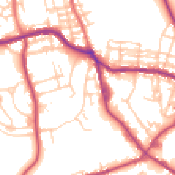
Daytime· 07:00 – 23:00

53.2dB

Low
Night-time road noise heatmap for OL11 5BP

Night-time· 23:00 – 07:00

44.3dB

Low
55 dB
60 dB
65 dB
70 dB
75 dB
80 dB
Defra Road Noise Strategic Mapping, Round 4
FAQ

Common questions

The questions buyers, sellers and homeowners most often ask about 15 Bridgefold Road, Rochdale, OL11 5BP. Each answer is also embedded as structured data for search engines.