44 Holmdale Road, Camden, London, NW6 1BL
About 44 Holmdale Road
44 Holmdale Road is a mid-terrace house in Camden, London, London (NW6 1BL). It has a recorded floor area of 227 m² (around 2443 sq ft), construction records dating it to before 1900 and council tax band G. The latest certificate (April 2024) shows a C (score 71). The recommended improvements would push it to B (score 81).
At 227 m² the property is well over the postcode median (59 m² across 52 EPCs), placing it in the larger end of the local stock. Across 1998–2024, sale prices on this property compounded at 8% per year. Today's modelled estimate of £2,615,000 is 19.6% above the 2024 sale price. On a £-per-square-foot basis, the last sale (£895/sq ft) was about 105.9% above the typical sold price in the postcode. Last sale on file: £2,186,700 in October 2024.
Everything you need to know about 44 Holmdale Road
The true value, the hidden risks and the full sale history, in one report.
30-day money-back guarantee

The data behind every report


Energy performance
44 Holmdale Road's carbon output runs well above what efficient homes in the postcode produce.
EPC Rating
Planning history
44 Holmdale Road has no planning applications on record.
Notable planning nearby
1applications of note in the surrounding area
Sales history & valuation
44 Holmdale Road has more than quadrupled in price since its earliest registered sale in 1998.
£2,615,000
Modelled from EPC, postcode comparables and a sale-price growth of 8.0% per year over 26 years.
£2,186,700
Growth on file: 8.0% per year over 26 years.
Sales timeline
28 October 2024Most recent
£2,186,700
+346.3%over 25 years21 October 1999
£490,000
+71.9%over 1 year19 May 1998
£285,000
Median price across the last 5 sales in NW6 1BL: £735,000 (2024–2022).
Nearby sales in NW6 1BL
Flat B, 28 Holmdale Road, London, NW6 1BL
Sold Sept 2024
£735,00034c, Holmdale Road, Camden, London, NW6 1BL
Sold Feb 2023
£447,00050 Holmdale Road, Camden, London, NW6 1BL
Sold Jul 2022
£540,00034a, Holmdale Road, Camden, London, NW6 1BL
Sold Jun 2022
£925,00056 Holmdale Road, Camden, London, NW6 1BL
Sold Mar 2022
£785,000
Versus other Holmdale Road homes
On years held, 44 Holmdale Road runs well behind the street norm.
Price per m²
£9,633
Street avg £7,532
Floor Area
227 m²
Street avg 161 m²
Habitable Rooms
6 rooms
Street avg 6 rooms
CO₂ Emissions
6.4 t/year
Street avg 6.1 t/year
Everything you need to know about 44 Holmdale Road
The true value, the hidden risks and the full sale history, in one report.
30-day money-back guarantee
The data behind every report
Similar properties nearby
1 Fawley Road, Camden
NW6 1SL
1 Dornfell Street, Camden
NW6 1QN
1 Achilles Road, Camden
NW6 1DZ
1 Glenbrook Road, Camden
NW6 1TW
1 Aldred Road, Camden
NW6 1AN
1 Alvanley Gardens, Camden
NW6 1JD
1 Berridge Mews, Camden
NW6 1RF
1 Burrard Road, Camden
NW6 1DA
The neighbourhood at a glance
Rail-style transport is unusually close for this postcode.
Crime
8/mo
Rising year-on-year across the wider district.
Nearest stop
0.1 km
Mill Lane West Hampstead — bus stop.
Closest school
0.2 km
Emmanuel Church of England Primary School. 60 schools nearby.
Go deeper on the local area
The full report breaks down crime, transport links, schools and air quality in depth.
Road noise across the postcode
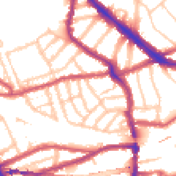
Daytime· 07:00 – 23:00
53.6dB

Night-time· 23:00 – 07:00
43.3dB