Are you a property professional?Get qualified leads from motivated homeowners.
Get started25 Ranulf Road, Camden, London, NW2 2BT
EPC B
About 25 Ranulf Road
A plain-English summary derived from public records, EPC certificates, sold prices and local data.
25 Ranulf Road is a five-bedroom detached house in Camden, London, London (NW2 2BT). It has a recorded floor area of 805 m² (around 8665 sq ft), construction records dating it to 1900-1929 and council tax band H. The latest certificate (September 2018) returns a high B (score 88), putting the home a stone's throw from an A rating. When first surveyed in April 2012 the rating was F, the property has climbed 4 bands since. Between certificates, wall efficiency went from Very Poor to Very Good, roof efficiency went from Very Poor to Very Good and window efficiency went from Poor to Very Good.
At 805 m² the property is well over the postcode median (120 m² across 11 EPCs), placing it in the larger end of the local stock. Its energy rating outperforms most of the postcode (better than 82% of similar EPCs). Today's modelled estimate of £5,943,000 sits 65.1% above the 2012 sale of £3,599,000. On a £-per-square-foot basis, the last sale (£415/sq ft) was about 18.1% below the postcode norm. 8 planning records sit against the property, 5 approved, 1 refused. Past consents include an extension, a loft conversion, a basement excavation and partial demolition, meaningful when judging how the property has evolved. On the market in November 2012 and unlisted since — roughly 14 years.
What this property has
Pulled from EPC certificates, claim submissions and our property model. Empty categories are hidden — we only show what's known.
Inside
- Bedrooms5
- Dining roomYes
Outside
- Private gardenYes
- Garage
Energy performance
Every EPC certificate filed against this property — current rating, recorded improvements, and where there's headroom to reach a higher band.
25 Ranulf Road's carbon output runs well above what efficient homes in the postcode produce.
Current Certificate(1 of 2)
Sept 2018
EPC Rating
A
B
B88
C
D
E
F
G
Main Heating
Electric & Gas
Main Fuel
Gas
Hot Water
Good
Windows
Very Good
CO2 Emissions
7.8 t/year
Occupancy
—
Planning history
Applications and permits filed against 25 Ranulf Road, Camden, London, NW2 2BT, sourced from the PlanIt planning register.
Planning history includes recorded demolition works, indicating a major rebuild phase at this address.
- Jun 2015FullApprove subject to conditions
Demolition and rebuilding of 25 Ranulf Road and the construction of an outbuilding housing a swimming pool.
Sales history & valuation
Recorded transactions, our model's current estimate, and a quick read on what neighbouring properties have sold for.
25 Ranulf Road valuation sits well clear of the typical sold price in this postcode.
Current estimate
See how we calculated this£5,943,000
Modelled from EPC, postcode comparables.
Last sold (2012)
£3,599,000
Recorded with HM Land Registry.
Sales timeline
Versus other Ranulf Road homes
Four headline reads against 7 similar houses on this street, drawn from the latest EPC and Land Registry data.
25 Ranulf Road is notably below the street on price per m².
Price per m²
£4,471
Street avg £20,299
Floor Area
805 m²
Street avg 465 m²
CO₂ Emissions
7.8 t/year
Similar properties nearby
A handful of close matches in the same postcode area, ranked by likeness on bedrooms, type and floor area.
The neighbourhood at a glance
A condensed read of the local area. Each tile links through to the full breakdown on the London district page.
Reported crime in the wider district is trending notably upward year-on-year.
Crime
14/mo
Rising year-on-year across the wider district.
Nearest stop
0.2 km
Finchley Road (NW6) — bus stop.
Road noise across the postcode
Modelled day and night-time noise levels around NW2 2BT from Defra's strategic mapping. The pin marks this postcode's centroid.
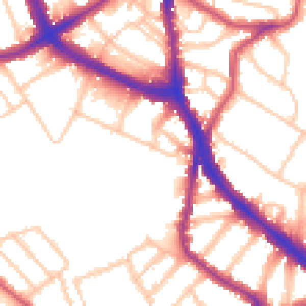
Daytime· 07:00 – 23:00
53.5dB

Everything within walking distance
Schools, transport stops and scenic spots near this property — 83 points of interest in total.
Beautiful places to visit nearby
Curated scenic spots within reach of this postcode, served by Beautifulplaces.ai. Photography and tagging come from their open dataset.
Common questions
The questions buyers, sellers and homeowners most often ask about 25 Ranulf Road, Camden, London, NW2 2BT. Each answer is also embedded as structured data for search engines.