Are you a property professional?Get qualified leads from motivated homeowners.
Get started1 Hocroft Road, Barnet, London, NW2 2BN
Extendable
About 1 Hocroft Road
A plain-English summary derived from public records, EPC certificates, sold prices and local data.
1 Hocroft Road is a six-bedroom detached house in Barnet, London, London (NW2 2BN). It has a recorded floor area of 336 m² (around 3617 sq ft), construction records dating it to 1930-1949 and council tax band H. The latest certificate (November 2016) shows a D (score 59), a step below the typical UK home. The recommended improvements would push it to C (score 75). Our model identifies extension potential, subject to local planning policy.
It hasn't traded since December 1997, a hold of 28 years that's notably long for the area. Only one transfer is on record with HM Land Registry, suggesting it has stayed in the same hands for a long time. Today's modelled estimate of £3,628,000 sits 293.3% above the 1997 sale of £922,500. On a £-per-square-foot basis, the last sale (£255/sq ft) was about 63.7% below the postcode norm. 4 planning records sit against the property, 3 approved, 0 refused. Past consents include a loft conversion, meaningful when judging how the property has evolved.
What this property has
Pulled from EPC certificates, claim submissions and our property model. Empty categories are hidden — we only show what's known.
Inside
- Bedrooms6
- Dining roomYes
- Utility roomYes
- CloakroomYes
Energy performance
Every EPC certificate filed against this property — current rating, recorded improvements, and where there's headroom to reach a higher band.
1 Hocroft Road's carbon output runs well above what efficient homes in the postcode produce.
EPC Rating
A
B
C
D
D59
E
F
G
Main Heating
Gas
Main Fuel
Gas
Hot Water
Good
Windows
Average
CO2 Emissions
14.0 t/year
Occupancy
Owner Occupied
Planning history
Applications and permits filed against 1 Hocroft Road, Barnet, London, NW2 2BN, sourced from the PlanIt planning register.
Planning history includes both a loft conversion and an extension — the classic family-home expansion.
- Jan 2013ConditionsApprove
Submission of details of condition 3 (materials) pursuant to planning permission F/03402/12 dated 16/10/12 for ''Erection of new timber boundary fence'.
Sales history & valuation
Recorded transactions, our model's current estimate, and a quick read on what neighbouring properties have sold for.
Latest sale on 1 Hocroft Road was the lowest on Land Registry record across the postcode.
Current estimate
See how we calculated this£3,628,000
Modelled from EPC, postcode comparables.
Last sold (1997)
£922,500
Recorded with HM Land Registry.
Sales timeline
Similar properties nearby
A handful of close matches in the same postcode area, ranked by likeness on bedrooms, type and floor area.
The neighbourhood at a glance
A condensed read of the local area. Each tile links through to the full breakdown on the London district page.
Rail-style transport is unusually close for this postcode.
Crime
14/mo
Rising year-on-year across the wider district.
Nearest stop
0.3 km
Cricklewood Lane Child's Hill — bus stop.
Road noise across the postcode
Modelled day and night-time noise levels around NW2 2BN from Defra's strategic mapping. The pin marks this postcode's centroid.
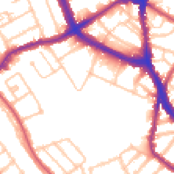
Daytime· 07:00 – 23:00
53.3dB

Everything within walking distance
Schools, transport stops and scenic spots near this property — 87 points of interest in total.
Beautiful places to visit nearby
Curated scenic spots within reach of this postcode, served by Beautifulplaces.ai. Photography and tagging come from their open dataset.
Common questions
The questions buyers, sellers and homeowners most often ask about 1 Hocroft Road, Barnet, London, NW2 2BN. Each answer is also embedded as structured data for search engines.