Roseacre Country House, The Hurn, West Runton, Cromer, NR27 9QS
About Roseacre Country House
Roseacre Country House is a six-bedroom semi-detached house in West Runton, Cromer, Cromer (NR27 9QS). It has a recorded floor area of 295 m² (around 3175 sq ft), construction records dating it to 1900-1929 and council tax band D. The latest certificate (June 2017) shows an F (score 31), near the bottom of the EPC scale. The recommended improvements would lift it to C (score 72), a 3-band jump. Other recorded features include a self-contained annexe. Period features are noted in the property record.
At 295 m² the property is well over the postcode median (88 m² across 25 EPCs), placing it in the larger end of the local stock. On energy efficiency it sits in the bottom 10% of properties in this postcode — significant headroom for improvement. 6 bedrooms is on the larger side for this postcode, where 4 is the typical count. On a £-per-square-foot basis, the last sale (£346/sq ft) was about 70.5% above the typical sold price in the postcode. 5 planning records sit against the property, 1 approved, 2 refused. Sold December 2023 for £1,100,000.
Know exactly what you're buying at Roseacre Country House
Before you offer, see what the listing won't tell you, the true value, the red flags and the full history.
Already flagged here
Valuation
against the asking price
Risks
planning & flood
Sold prices
similar homes nearby
Trends
the local market
What this property has
Inside
- Bedrooms6
- Bathrooms6
Outside
- Private gardenYes
- GarageYes
Building
- Period featuresYes
Energy performance
Roseacre Country House sits at the bottom of the postcode for energy efficiency — meaningful headroom to improve.
EPC Rating
Planning history
A tree works application was refused at Roseacre Country House in 2025.
- Jan 2026FullIn report
Installation of 1.8m high security fencing
- Agent
- DR STUMP LTD
- Documents
- 20 docs on file
- Reference
- PF/25/2451
- Dec 2025Tree WorksTreesIn report
G1: Mixed species hedgerow to remove the Leylandii and Ash, keep the Sycamore and replace with laurel
- Agent
- DR STUMP LTD
- Documents
- 2 docs on file
- Reference
- TW/25/2450
We flagged 1 thing worth checking at Roseacre Country House
Independent checks surfaced things a buyer would want to understand before offering. The report explains each one in full, with the underlying data and what to ask.
- Larger development activity nearby
30-day money-back guarantee
Sales history & valuation
Latest sale on Roseacre Country House was the highest on Land Registry record across the postcode.
£1,033,000
Modelled from EPC, postcode comparables.
£1,100,000
Recorded with HM Land Registry.
Sales timeline
14 December 2023Most recent
£1,100,000
Median price across the last 5 sales in NR27 9QS: £300,000 (2025–2022).
Nearby sales in NR27 9QS
Greenfields, The Hurn, West Runton, Cromer, NR27 9QS
Sold Oct 2025
£232,500The Barn, The Hurn, West Runton, Cromer, NR27 9QS
Sold Jun 2025
£300,000Old Farm Cottage, The Hurn, West Runton, Cromer, NR27 9QS
Sold Dec 2024
£315,0002 Charlottes Close, The Hurn, West Runton, Cromer, NR27 9QS
Sold Jul 2024
£425,000Myrtle Cottage, The Hurn, West Runton, Cromer, NR27 9QS
Sold Jul 2022
£285,000
Everything we know about Roseacre Country House, in one report
What it's really worth, what could be wrong, and the planning, sales and area data in full.
What we flagged
- Larger development activity nearby

Versus other The Hurn homes
Roseacre Country House is notably below the street on epc rating.
Price per m²
£3,729
Street avg £2,863
Floor Area
295 m²
Street avg 98 m²
Habitable Rooms
12 rooms
Street avg 5 rooms
CO₂ Emissions
25.0 t/year
Street avg 4.3 t/year
Similar properties nearby
1 Bernard Road
NR27 9AW
1 Bittern Rise
NR27 9GU
1 Church Cottages, Cromer Road, West Runton
NR27 9QU
1 Clifton Park
NR27 9BE
1 Burnt Hills Wood, Roughton Road
NR27 9LN
1 Burnt Hills
NR27 9LW
1 Chesterfield Lodge, West Street
NR27 9DT
1 Arbor Hill
NR27 9DN
The neighbourhood at a glance
Rail-style transport is unusually close for this postcode.
Crime
3/mo
Steady year-on-year across the wider district.
Nearest stop
0.2 km
West Runton Rail Station — railway station.
Closest school
2.8 km
Sheringham Community Primary School. 2 schools nearby.
Go deeper on the local area
The full report breaks down crime, transport links, schools and air quality in depth.
Road noise across the postcode
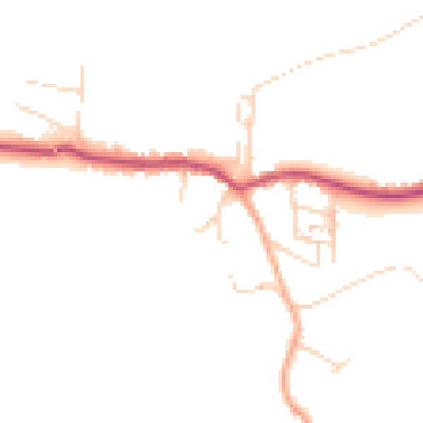
Daytime· 07:00 – 23:00
45.2dB

Night-time· 23:00 – 07:00
37.8dB