9 Little Bethel Court, Bethel Street, Norwich, NR2 1NR
About 9 Little Bethel Court
9 Little Bethel Court is a two-bedroom property in Norwich (NR2 1NR). It has council tax band C. It is a listed building, which means external alterations are tightly controlled but it may qualify for heritage tax reliefs. Period features are noted in the property record.
Untraded for 19 years, with the last transfer in May 2007. That sale landed at the peak of the pre-credit-crunch market, which is a useful reference point when interpreting the price. Across 2005–2007, sale prices on this property compounded at -2% per year.
What this property has
Inside
- Bedrooms2
- Bathrooms2
- EnsuiteYes
Outside
- Private gardenYes
- ParkingAllocated
Building
- Listed buildingYes
- Heating systemElectric
- Period featuresYes
Everything you need to know about 9 Little Bethel Court
The true value, the hidden risks and the full sale history, in one report.
Pick your report · from £14.99
One time fee only - money back guarantee

The data behind every report


Energy performance
No EPC on record
This property doesn't have an Energy Performance Certificate yet. An EPC is required to sell or let — and unlocks our automated valuation.

Get a survey for this property
Level 3 Building Survey
Because the property is a listed building, we believe a Level 3 building survey should be considered.
Planning history
9 Little Bethel Court has no planning applications on record.
A planning report still maps activity across the surrounding area and reads this property's extension & conversion potential.
Sales history & valuation
The latest sale landed at the peak of the pre-credit-crunch market — a high-water reference point.
£240,000
Growth on file: -2.0% per year over 2 years.
Sales timeline
24 May 2007Most recent
£240,000
-4.0%over 1 year2 June 2005
£250,000
Median price across the last 5 sales in NR2 1NR: £345,000 (2026–2022).
Nearby sales in NR2 1NR
Everything you need to know about 9 Little Bethel Court
The true value, the hidden risks and the full sale history, in one report.
Pick your report · from £14.99
One time fee only - money back guarantee
The data behind every report
Similar properties nearby
1 Strangers Court, Pottergate
NR2 1EX
1 Colmangate, Pottergate
NR2 1BE
1 Red Poll Terrace, Cow Hill
NR2 1HR
1 Gunns Court, Upper St Giles Street
NR2 1TP
1 Dencora Apartments, Chapel Field East
NR2 1SF
1 Rigbys Court
NR2 1NT
1 Old Post Office Court
NR2 1NG
1 Little Bethel Court, Bethel Street
NR2 1NR
The neighbourhood at a glance
Crime
270/mo
Falling year-on-year across the wider district.
Nearest stop
1.2 km
Norwich Rail Station — railway station.
Closest school
0.1 km
Sir Isaac Newton Sixth Form Free School. 35 schools nearby.
Go deeper on the local area
A Local Area report breaks down crime, transport links, schools and air quality in depth.
Road noise across the postcode
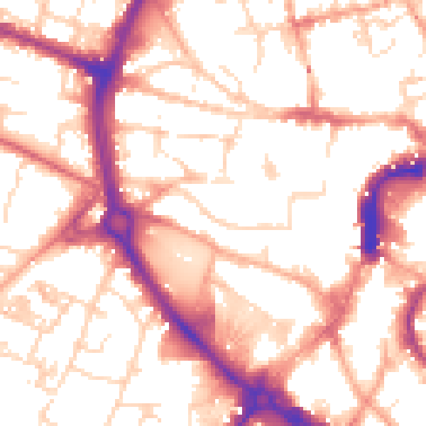
Daytime· 07:00 – 23:00
54.5dB

Night-time· 23:00 – 07:00
44.0dB