4 Broadmead Green, Thorpe End, Norwich, NR13 5DE
About 4 Broadmead Green
4 Broadmead Green is a five-bedroom detached house in Thorpe End, Norwich, Norwich (NR13 5DE). It has a recorded floor area of 184 m² (around 1981 sq ft), construction records dating it to 1991-1995 and council tax band F. The latest certificate (February 2013) shows a D (score 60), on the cusp of jumping into the C band. The recommended improvements would push it to C (score 79). The latest certificate is from February 2013, so improvements made since then won't be reflected.
It hasn't traded since June 2006, a hold of 20 years that's notably long for the area. Across the public record there are 4 sales, relatively high churn for a single property. Across 1995–2006, sale prices on this property compounded at 7.8% per year. Today's modelled estimate of £553,000 sits 62.6% above the 2006 sale of £340,000. On a £-per-square-foot basis, the last sale (£172/sq ft) was about 17.4% below the postcode norm. One planning record on file: an extension approved in 2021. Past consents include an extension, meaningful when judging how the property has evolved. At 184 m² it's 20.3% larger than the typical home in the postcode (153 m² median across 12 EPCs).
Know exactly what you're buying at 4 Broadmead Green
Before you offer, see what the listing won't tell you, the true value, the red flags and the full history.
Valuation
against the asking price
Risks
planning & flood
Sold prices
similar homes nearby
Trends
the local market
What this property has
Inside
- Bedrooms5
- Bathrooms3
- Dining roomYes
- EnsuiteYes
Outside
- GarageYes
Building
- RefurbishedYes
Energy performance
4 Broadmead Green's carbon output runs well above what efficient homes in the postcode produce.
EPC Expired
This certificate is over 10 years old and is no longer valid.Expired 28 Feb 2023
EPC Rating
Planning history
4 Broadmead Green has an approved single-storey rear extension on the planning record.
- Jun 2021ExtensionFullIn report
Extension: Single storey · Rear of property
Single storey rear extension.
- Agent
- Roger Adcock Architectural Design
- Documents
- 8 docs on file
- Reference
- 20210664
What's in 4 Broadmead Green, Thorpe End, Norwich, NR13 5DE's planning history?
Refusals, disputes and full decisions on this property and nearby, in the report.
Sales history & valuation
4 Broadmead Green has more than doubled in price since the earliest registered sale in 1995.
£553,000
Modelled from EPC, postcode comparables and a sale-price growth of 7.8% per year over 11 years.
£340,000
Growth on file: 7.8% per year over 11 years.
Sales timeline
15 June 2006Most recent
£340,000
-5.6%over 1 year9 September 2004
£360,000
+114.3%over 5 years20 September 1998
£168,000
+12.0%over 3 years23 July 1995
£150,000
Median price across the last 5 sales in NR13 5DE: £485,000 (2025–2018).
Nearby sales in NR13 5DE
24 Broadmead Green, Thorpe End, Norwich, NR13 5DE
Sold Feb 2025
£485,00015 Broadmead Green, Thorpe End, Norwich, NR13 5DE
Sold Apr 2021
£605,00020 Broadmead Green, Thorpe End, Norwich, NR13 5DE
Sold Mar 2020
£475,00018 Broadmead Green, Thorpe End, Norwich, NR13 5DE
Sold Oct 2019
£520,00016 Broadmead Green, Thorpe End, Norwich, NR13 5DE
Sold Nov 2018
£422,500
Everything we know about 4 Broadmead Green, in one report
What it's really worth, what could be wrong, and the planning, sales and area data in full.
- Am I paying too much?
- Is something wrong with it?
- Is the agent's story true?
- Will it hold its value?

Versus other Broadmead Green homes
Price per m² for 4 Broadmead Green lags the street by a wide margin.
Price per m²
£1,848
Street avg £2,823
Floor Area
184 m²
Street avg 160 m²
Habitable Rooms
8 rooms
Street avg 8 rooms
CO₂ Emissions
7.8 t/year
Street avg 6.3 t/year
Similar properties nearby
1 Barker Way, Thorpe End
NR13 5EZ
1 Cricket Field View, Brundall
NR13 5PH
1 Blofield Road, Brundall
NR13 5NN
1 Broad View, Thorpe End
NR13 5DZ
1 Astley Road, Little Plumstead
NR13 5ET
1 Church Road, Postwick
NR13 5HN
1 Altongate, Thorpe End
NR13 5DY
1 Beverley Road, Brundall
NR13 5QS
The neighbourhood at a glance
Daytime road noise here sits well below conversation level — a quiet pocket of the postcode.
Crime
4/mo
Steady year-on-year across the wider district.
Nearest stop
3.0 km
Salhouse Rail Station — railway station.
Closest school
1.4 km
Rackheath Primary School. 10 schools nearby.
Go deeper on the local area
The full report breaks down crime, transport links, schools and air quality in depth.
Road noise across the postcode
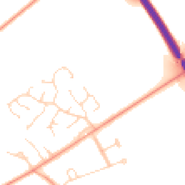
Daytime· 07:00 – 23:00
48.6dB

Night-time· 23:00 – 07:00
39.1dB