Are you a property professional?Get qualified leads from motivated homeowners.
Get started22 Barleyfield Road, Horsford, Norwich, NR10 3RP
4 sales on record
About 22 Barleyfield Road
A plain-English summary derived from public records, EPC certificates, sold prices and local data.
22 Barleyfield Road is a four-bedroom detached house in Horsford, Norwich, Norwich (NR10 3RP). It has a recorded floor area of 99 m² (around 1060 sq ft), construction records dating it to 1996-2002 and council tax band D. The latest certificate (April 2011) shows a D (score 63), on the cusp of jumping into the C band. The latest certificate is from April 2011, so improvements made since then won't be reflected.
Sale prices here have outpaced Norwich HPI: 6.8% per year against 0% for the wider region. Today's modelled estimate of £341,000 is 26.3% above the 2017 sale price. On a £-per-square-foot basis, the last sale (£255/sq ft) was about 36% above the typical sold price in the postcode. At 99 m² the property is well over the postcode median (66 m² across 35 EPCs), placing it in the larger end of the local stock. Last sold in August 2017, so it's been off the market for around 9 years. Across the public record there are 4 sales, relatively high churn for a single property. One planning record on file: an extension approved in 2002. Past consents include an extension and a conservatory, meaningful when judging how the property has evolved.
What this property has
Pulled from EPC certificates, claim submissions and our property model. Empty categories are hidden — we only show what's known.
Inside
- Bedrooms4
Energy performance
Every EPC certificate filed against this property — current rating, recorded improvements, and where there's headroom to reach a higher band.
22 Barleyfield Road's EPC is over a decade old — improvements since won't be reflected.
EPC Expired
This certificate is over 10 years old and is no longer valid.Expired 05 Apr 2021
Planning history
Applications and permits filed against 22 Barleyfield Road, Horsford, Norwich, NR10 3RP, sourced from the PlanIt planning register.
- Aug 2002ConservatoryFullApproval with Conditions
Extension: Single storey · Side of property
1. First Floor Side Extension 2. Conservatory
Sales history & valuation
Recorded transactions, our model's current estimate, and a quick read on what neighbouring properties have sold for.
Latest sale on 22 Barleyfield Road was the highest on Land Registry record across the postcode.
Current estimate
See how we calculated this£341,000
Modelled from EPC, postcode comparables and a sale-price growth of 6.8% per year over 19 years.
Last sold (2017)
£270,000
Growth on file: 6.8% per year over 19 years.
Sales timeline
Versus other Barleyfield Road homes
Four headline reads against 35 similar houses on this street, drawn from the latest EPC and Land Registry data.
22 Barleyfield Road outperforms the street on habitable rooms by a wide margin.
Price per m²
£2,741
Street avg £2,851
Floor Area
99 m²
Street avg 76 m²
Habitable Rooms
6 rooms
Similar properties nearby
A handful of close matches in the same postcode area, ranked by likeness on bedrooms, type and floor area.
The neighbourhood at a glance
A condensed read of the local area. Each tile links through to the full breakdown on the Norwich district page.
Daytime road noise here sits well below conversation level — a quiet pocket of the postcode.
Crime
1/mo
Steady year-on-year across the wider district.
Closest school
0.6 km
Road noise across the postcode
Modelled day and night-time noise levels around NR10 3RP from Defra's strategic mapping. The pin marks this postcode's centroid.
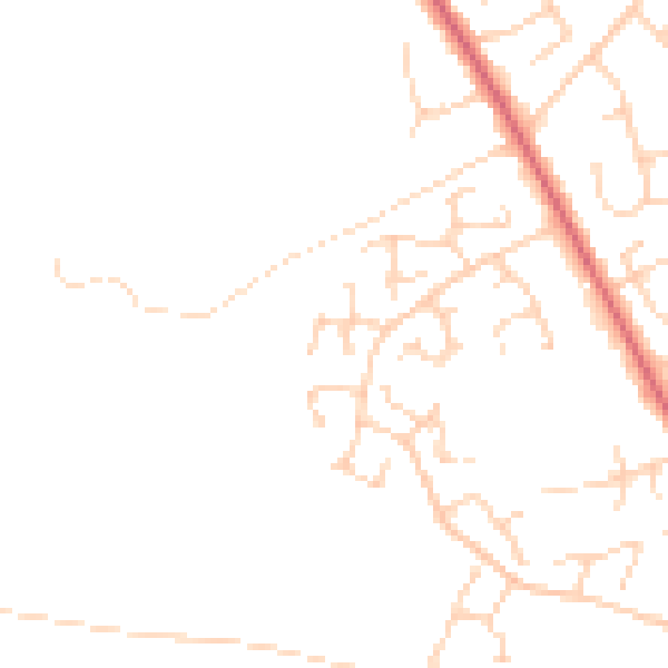
Daytime· 07:00 – 23:00
45.4dB

Everything within walking distance
Schools, transport stops and scenic spots near this property — 4 points of interest in total.
Beautiful places to visit nearby
Curated scenic spots within reach of this postcode, served by Beautifulplaces.ai. Photography and tagging come from their open dataset.
Common questions
The questions buyers, sellers and homeowners most often ask about 22 Barleyfield Road, Horsford, Norwich, NR10 3RP. Each answer is also embedded as structured data for search engines.