2 Blenheim Road, Wellingborough, NN8 5YJ
About 2 Blenheim Road
2 Blenheim Road is a three-bedroom detached house in Wellingborough (NN8 5YJ). It has a recorded floor area of 95 m² (around 1023 sq ft), construction records dating it to 1983-1990 and council tax band C. The latest certificate (December 2021) shows a D (score 68), on the cusp of jumping into the C band. The recommended improvements would lift it to B (score 82), a 2-band jump.
At 95 m² the property is well over the postcode median (73 m² across 24 EPCs), placing it in the larger end of the local stock. Across 2000–2022, sale prices on this property compounded at 6.1% per year. Today's modelled estimate of £276,000 is 15% above the 2022 sale price. On a £-per-square-foot basis, the last sale (£235/sq ft) was about 37% above the typical sold price in the postcode. Last sale on file: £240,000 in May 2022. That sale was during the post-pandemic price surge, when transactions cleared materially above pre-2020 trend.
What this property has
Inside
- Bedrooms3
- Bathrooms2
- Dining roomYes
Outside
- GarageIntegral
Everything you need to know about 2 Blenheim Road
The true value, the hidden risks and the full sale history, in one report.
Pick your report · every report is £14.99
One time fee only - money back guarantee

The data behind every report


Energy performance
Recommended upgrades on file would lift this property by multiple EPC bands.
EPC Rating
Get a survey for this property
Level 2 HomeBuyer Report
We've checked 10 risk factors against the available data for this property and believe a Level 2 HomeBuyer Report could be a suitable option for you.
From £545 · Includes VAT
Planning history
2 Blenheim Road has no planning applications on record.
A planning report still maps activity across the surrounding area and reads this property's extension & conversion potential.
Sales history & valuation
Sale price has grown by over 3x since 2000.
£276,000
Modelled from EPC, postcode comparables and a sale-price growth of 6.1% per year over 22 years.
£240,000
Growth on file: 6.1% per year over 22 years.
Sales timeline
19 May 2022Most recent
£240,000
+263.6%over 21 years2 July 2000
£66,000
Median price across the last 5 sales in NN8 5YJ: £246,000 (2025–2023).
Nearby sales in NN8 5YJ
3 Blenheim Road, Wellingborough, NN8 5YJ
Sold Apr 2025
£294,00011 Blenheim Road, Wellingborough, NN8 5YJ
Sold Jun 2024
£246,00028 Blenheim Road, Wellingborough, NN8 5YJ
Sold Mar 2024
£238,00030 Blenheim Road, Wellingborough, NN8 5YJ
Sold Jun 2023
£240,00022 Blenheim Road, Wellingborough, NN8 5YJ
Sold Mar 2023
£253,000
Versus other Blenheim Road homes
2 Blenheim Road outperforms the street on floor area by a wide margin.
Price per m²
£2,526
Street avg £2,579
Floor Area
95 m²
Street avg 77 m²
Habitable Rooms
5 rooms
Street avg 5 rooms
CO₂ Emissions
3.7 t/year
Street avg 3.7 t/year
Everything you need to know about 2 Blenheim Road
The true value, the hidden risks and the full sale history, in one report.
Pick your report · every report is £14.99
One time fee only - money back guarantee
The data behind every report
Similar properties nearby
The neighbourhood at a glance
Crime
5/mo
Steady year-on-year across the wider district.
Nearest stop
0.1 km
Tewksbury Close — bus stop.
Closest school
0.3 km
Redwell Primary School. 19 schools nearby.
Go deeper on the local area
A Local Area report breaks down crime, transport links, schools and air quality in depth.
Road noise across the postcode
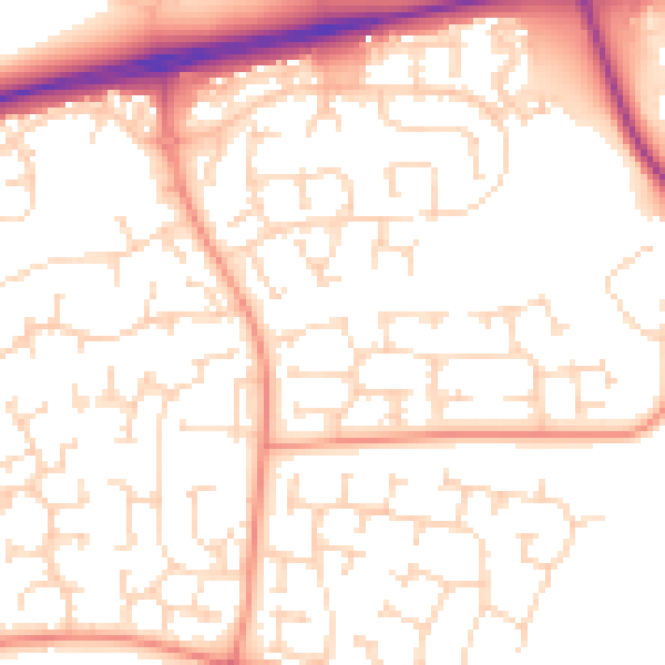
Daytime· 07:00 – 23:00
53.0dB

Night-time· 23:00 – 07:00
41.6dB