12 Croyland Road, Wellingborough, NN8 2LB
About 12 Croyland Road
12 Croyland Road is a three-bedroom semi-detached house in Wellingborough (NN8 2LB). It has a recorded floor area of 101 m² (around 1087 sq ft), construction records dating it to 1967-1975 and council tax band C. The latest certificate (May 2023) shows a C (score 71). When first surveyed in May 2010 the rating was D, the property has climbed 1 band since. Between certificates, roof efficiency went from Good to Very Good, window efficiency went from Average to Good and lighting went from Good to Very Good; while wall efficiency dropped from Good to Poor. The recommended improvements would push it to B (score 85).
On energy efficiency it sits in the top 10% of properties in this postcode. Across 1996–2012, sale prices on this property compounded at 9.3% per year. Today's modelled estimate of £257,000 sits 90.4% above the 2012 sale of £135,000. On a £-per-square-foot basis, the last sale (£124/sq ft) was about 21.4% below the postcode norm. Last sold in April 2012, so it's been off the market for around 14 years. One historical planning record sits against the property in 2022.
What this property has
Inside
- Bedrooms3
- Dining roomYes
- Utility roomYes
Outside
- Private gardenRear
- ParkingOff road
Building
- Heating systemGas
Everything you need to know about 12 Croyland Road
The true value, the hidden risks and the full sale history, in one report.
Pick your report · every report is £14.99
One time fee only - money back guarantee

The data behind every report


Energy performance
12 Croyland Road ranks among the most efficient homes in the postcode for energy use.
EPC Rating
Property Improvements
Changes detected from historical EPC data
Heating controls upgraded for better temperature management
Windows upgraded, improving insulation
Loft insulation upgraded to recommended levels
More low energy lighting installed
Get a survey for this property
Level 2 HomeBuyer Report
We've checked 10 risk factors against the available data for this property and believe a Level 2 HomeBuyer Report could be a suitable option for you.
From £545 · Includes VAT
Planning history
A recent planning application at 12 Croyland Road was refused — worth checking the council file.
1 application on record at 12 Croyland Road, Wellingborough, NN8 2LB
- May 2022FullOutcome in report
Construction of a new vehicular access crossing and hardstanding for the parking of vehicles
- Documents
- 8 docs on file
- Reference
- NW/21/01028/FUL
Unlock 12 Croyland Road, Wellingborough, NN8 2LB's full planning history
You're seeing the shape of it. The report has the substance.
- Every decision — granted, refused or withdrawn (1 on record)
- All 1 application on this property in full
- The 8 documents, officer reports & conditions
- What the pattern means for extending or converting here
One time fee only - money back guarantee
Sales history & valuation
12 Croyland Road has more than tripled in price since its earliest registered sale in 1996.
£257,000
Modelled from EPC, postcode comparables and a sale-price growth of 9.3% per year over 16 years.
£135,000
Growth on file: 9.3% per year over 16 years.
Sales timeline
25 April 2012Most recent
£135,000
+110.9%over 11 years16 March 2001
£64,000
+88.2%over 4 years26 September 1996
£34,000
Median price across the last 5 sales in NN8 2LB: £251,000 (2023–2021).
Nearby sales in NN8 2LB
21 Croyland Road, Wellingborough, NN8 2LB
Sold Jun 2023
£240,0005 Croyland Road, Wellingborough, NN8 2LB
Sold Feb 2023
£251,00013 Croyland Road, Wellingborough, NN8 2LB
Sold Sept 2021
£305,00034 Croyland Road, Wellingborough, NN8 2LB
Sold Apr 2021
£395,00025 Croyland Road, Wellingborough, NN8 2LB
Sold Apr 2021
£218,500
Versus other Croyland Road homes
On price per m², 12 Croyland Road runs well behind the street norm.
Price per m²
£1,337
Street avg £2,381
Floor Area
101 m²
Street avg 107 m²
Habitable Rooms
6 rooms
Street avg 5 rooms
CO₂ Emissions
3.4 t/year
Street avg 5.4 t/year
Everything you need to know about 12 Croyland Road
The true value, the hidden risks and the full sale history, in one report.
Pick your report · every report is £14.99
One time fee only - money back guarantee
The data behind every report
Similar properties nearby
The neighbourhood at a glance
Crime
5/mo
Steady year-on-year across the wider district.
Nearest stop
0.1 km
Monks Way — bus stop.
Closest school
0.4 km
Wrenn School. 20 schools nearby.
Go deeper on the local area
A Local Area report breaks down crime, transport links, schools and air quality in depth.
Road noise across the postcode
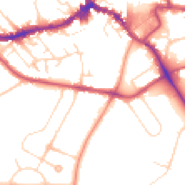
Daytime· 07:00 – 23:00
51.6dB

Night-time· 23:00 – 07:00
42.3dB