2 Bradden Road, Greens Norton, Towcester, NN12 8BS
About 2 Bradden Road
2 Bradden Road is a five-bedroom property in Greens Norton, Towcester, Towcester (NN12 8BS). It has council tax band G. It is a listed building, which means external alterations are tightly controlled but it may qualify for heritage tax reliefs.
2 planning records sit against the property, 1 approved, 0 refused. Past consents include new windows, meaningful when judging how the property has evolved. Across 1995–2023, sale prices on this property compounded at 6% per year. Most recent transfer: February 2023 at £850,000.
Know exactly what you're buying at 2 Bradden Road
Before you offer, see what the listing won't tell you, the true value, the red flags and the full history.
Already flagged here
Valuation
against the asking price
Risks
planning & flood
Sold prices
similar homes nearby
Trends
the local market
What this property has
Inside
- Bedrooms5
- Bathrooms3
- Dining roomYes
- EnsuiteYes
- StudyYes
Outside
- GarageYes
Building
- Listed buildingYes
Energy performance
No EPC on record
This property doesn't have an Energy Performance Certificate yet. An EPC is required to sell or let — and unlocks our automated valuation.
Planning history
- Dec 2014RenovationHeritageIn report
Replace 13 No. windows with hardwood double glazed slim edge windows and repair two bottom tenon joints on 1 No. window
New Windows- Documents
- 11 docs on file
- Reference
- S/2014/1848/LBC
- Dec 2014RenovationHeritageIn report
Replace 13 No. windows with hardwood single glazed windows and repair two bottom tenon joints on 1 No. window.
New Windows- Documents
- 11 docs on file
- Reference
- S/2014/1847/LBC
We flagged 1 thing worth checking at 2 Bradden Road
Independent checks surfaced things a buyer would want to understand before offering. The report explains each one in full, with the underlying data and what to ask.
- Larger development activity nearby
30-day money-back guarantee
Sales history & valuation
Price for 2 Bradden Road has grown more than fourfold since the 1995 starting point.
£850,000
Growth on file: 6.0% per year over 28 years.
Sales timeline
16 February 2023Most recent
£850,000
+14.9%over 5 years16 July 2017
£740,000
+4.6%over 10 years31 August 2006
£707,500
+64.5%over 1 year11 February 2005
£430,000
+79.2%over 6 years27 February 1998
£240,000
+45.5%over 3 years30 January 1995
£165,000
Median price across the last 5 sales in NN12 8BS: £560,000 (2021–2021).
Nearby sales in NN12 8BS
11a, Bradden Road, Greens Norton, Towcester, NN12 8BS
Sold Nov 2021
£500,000Kingthorn Mill, Bradden Road, Greens Norton, Towcester, NN12 8BS
Sold Aug 2021
£2,300,000The Old Chapel, Bradden Road, Greens Norton, Towcester, NN12 8BS
Sold Jun 2021
£560,000Greens Norton Court, 13 Bradden Road, Greens Norton, Towcester, NN12 8BS
Sold Jun 2021
£920,0001 Bradden Road, Greens Norton, Towcester, NN12 8BS
Sold May 2021
£300,000
Everything we know about 2 Bradden Road, in one report
What it's really worth, what could be wrong, and the planning, sales and area data in full.
What we flagged
- Larger development activity nearby

Similar properties nearby
1 Acorn Way, Silverstone
NN12 8DQ
1 Bengal Lane, Greens Norton
NN12 8BE
1 Baines Close, Silverstone
NN12 8DG
1 Birds Hill Road, Eastcote
NN12 8NF
1 Brabham Close, Silverstone
NN12 8UL
1 Bradden Road, Greens Norton
NN12 8BS
1 3, Old School Lane, Blakesley
NN12 8RS
1 Barn Yard, Silverstone
NN12 8WT
The neighbourhood at a glance
Daytime road noise here sits well below conversation level — a quiet pocket of the postcode.
Crime
2/mo
Steady year-on-year across the wider district.
Nearest stop
0.3 km
School Lane — bus stop.
Closest school
0.6 km
Greens Norton Church of England Primary School. 3 schools nearby.
Go deeper on the local area
The full report breaks down crime, transport links, schools and air quality in depth.
Road noise across the postcode
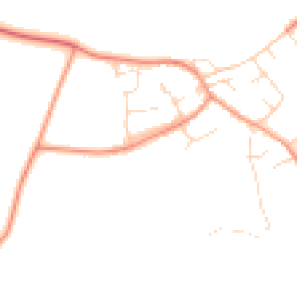
Daytime· 07:00 – 23:00
45.2dB

Night-time· 23:00 – 07:00
36.4dB