22 Denstone Road, Nottingham, NG3 2AW
About 22 Denstone Road
22 Denstone Road is a two-bedroom mid-terrace house in Nottingham (NG3 2AW). It has a recorded floor area of 75 m² (around 807 sq ft), construction records dating it to 1900-1929 and council tax band A. The latest certificate (July 2015) shows an E (score 43), well below the UK norm with real room to improve. The recommended improvements would lift it to B (score 86), a 3-band jump. The latest certificate is from July 2015, so improvements made since then won't be reflected.
Across 1995–2019, sale prices on this property compounded at 5.5% per year. Today's modelled estimate of £154,000 sits 55.6% above the 2019 sale of £99,000. On a £-per-square-foot basis, the last sale (£123/sq ft) was about 30.6% above the typical sold price in the postcode. Last sale on file: £99,000 in January 2019. Across the public record there are 4 sales, relatively high churn for a single property. It lags the bulk of the postcode on energy efficiency (less efficient than 79% of similar EPCs).
What this property has
Inside
- Bedrooms2
- Bathrooms1
Building
- RefurbishedYes
Everything you need to know about 22 Denstone Road
The true value, the hidden risks and the full sale history, in one report.
Pick your report · every report is £14.99
One time fee only - money back guarantee

The data behind every report


Energy performance
22 Denstone Road's carbon output runs well above what efficient homes in the postcode produce.
EPC Expired
This certificate is over 10 years old and is no longer valid.Expired 27 Jul 2025
EPC Rating
Get a survey for this property
Level 3 Building Survey
Because the property was built before 1919 and has solid (non-cavity) walls, we believe a Level 3 building survey should be considered.
From £820 · Includes VAT
Planning history
22 Denstone Road has no planning applications on record.
But the area is active
5 notable applications nearby — larger schemes and conversions that could reshape the street. The report maps them all.
Sales history & valuation
22 Denstone Road has more than tripled in price since its earliest registered sale in 1995.
£154,000
Modelled from EPC, postcode comparables and a sale-price growth of 5.5% per year over 23 years.
£99,000
Growth on file: 5.5% per year over 23 years.
Sales timeline
31 January 2019Most recent
£99,000
+16.5%over 13 years25 October 2005
£85,000
+165.6%over 4 years1 July 2001
£32,000
+14.3%over 5 years17 August 1995
£28,000
Median price across the last 5 sales in NG3 2AW: £140,000 (2025–2023).
Nearby sales in NG3 2AW
Versus other Denstone Road homes
On co₂ emissions, 22 Denstone Road runs well behind the street norm.
Price per m²
£1,320
Street avg £1,277
Floor Area
75 m²
Street avg 73 m²
Habitable Rooms
4 rooms
Street avg 4 rooms
CO₂ Emissions
6.0 t/year
Street avg 3.8 t/year
Everything you need to know about 22 Denstone Road
The true value, the hidden risks and the full sale history, in one report.
Pick your report · every report is £14.99
One time fee only - money back guarantee
The data behind every report
Similar properties nearby
1 Hogarth Street
NG3 2GA
1 Berry Court, Holly Gardens
NG3 2PB
1 Andrews Court, Thorneywood Rise
NG3 2PH
1 Beacon Hill Rise
NG3 2GX
1 Cropwell Green
NG3 2GB
1 Bracton Drive
NG3 2LN
1 Barrymore Court, Holly Gardens
NG3 2PG
1 Blake Close
NG3 2HB
The neighbourhood at a glance
Reported crime in the wider district is trending notably upward year-on-year.
Crime
5/mo
Rising year-on-year across the wider district.
Nearest stop
0.1 km
St Chads Road — bus stop.
Closest school
0.3 km
Sneinton St Stephen's CofE Primary School. 41 schools nearby.
Go deeper on the local area
A Local Area report breaks down crime, transport links, schools and air quality in depth.
Road noise across the postcode
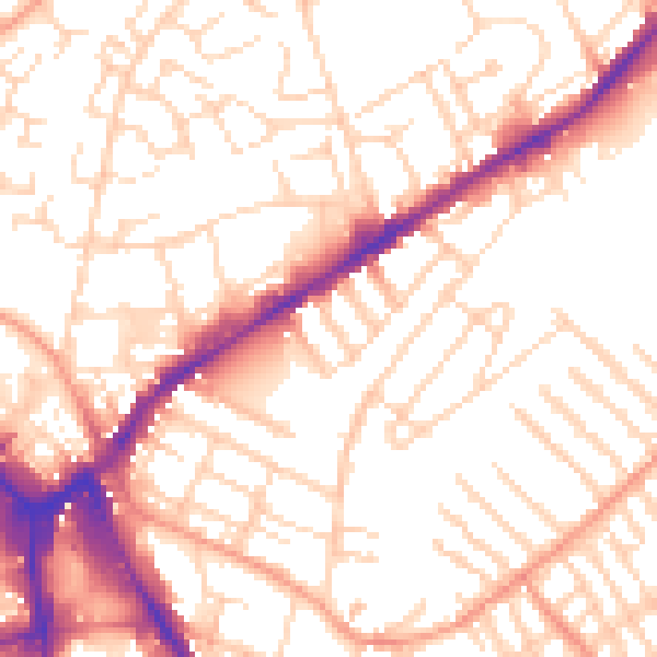
Daytime· 07:00 – 23:00
53.8dB

Night-time· 23:00 – 07:00
43.1dB