2 Cremorne Drive, Bilsthorpe, Newark, NG22 8UR
About 2 Cremorne Drive
2 Cremorne Drive is a property in Bilsthorpe, Newark, Newark (NG22 8UR). It has council tax band D.
Untraded for 22 years, with the last transfer in August 2004.
Everything you need to know about 2 Cremorne Drive
The true value, the hidden risks and the full sale history, in one report.
Pick your report · every report is £14.99
One time fee only - money back guarantee

The data behind every report


Energy performance
No EPC on record
This property doesn't have an Energy Performance Certificate yet. An EPC is required to sell or let — and unlocks our automated valuation.
Get a survey for this property
Level 2 HomeBuyer Report
We've checked 10 risk factors against the available data for this property and believe a Level 2 HomeBuyer Report could be a suitable option for you.
Planning history
2 Cremorne Drive has no planning applications on record.
A planning report still maps activity across the surrounding area and reads this property's extension & conversion potential.
Sales history & valuation
£159,950
Recorded with HM Land Registry.
Sales timeline
30 August 2004Most recent
£159,950
Median price across the last 5 sales in NG22 8UR: £207,000 (2022–2012).
Nearby sales in NG22 8UR
3 Cremorne Drive, Bilsthorpe, Newark, NG22 8UR
Sold Jul 2022
£273,0005 Cremorne Drive, Bilsthorpe, Newark, NG22 8UR
Sold Sept 2019
£220,0007 Cremorne Drive, Bilsthorpe, Newark, NG22 8UR
Sold Aug 2017
£207,0009 Cremorne Drive, Bilsthorpe, Newark, NG22 8UR
Sold Aug 2012
£161,0001 Cremorne Drive, Bilsthorpe, Newark, NG22 8UR
Sold Jan 2008
£170,000
Everything you need to know about 2 Cremorne Drive
The true value, the hidden risks and the full sale history, in one report.
Pick your report · every report is £14.99
One time fee only - money back guarantee
The data behind every report
Similar properties nearby
1 Archers Drive, Bilsthorpe
NG22 8SD
1 Chappel Gardens, Bilsthorpe
NG22 8RZ
1 Chewton Close, Bilsthorpe
NG22 8RN
1 Bracken Court, Bilsthorpe
NG22 8UP
1 Church House, Main Street, Farnsfield
NG22 8EY
1 Allandale, Bilsthorpe
NG22 8QZ
1 Alexander Road, Farnsfield
NG22 8LH
1 Badgers Croft, Bilsthorpe
NG22 8RP
The neighbourhood at a glance
Daytime road noise here sits well below conversation level — a quiet pocket of the postcode.
Crime
3/mo
Steady year-on-year across the wider district.
Nearest stop
0.2 km
Mickledale Close — bus stop.
Closest school
0.7 km
Bilsthorpe Flying High Academy. 1 school nearby.
Go deeper on the local area
A Local Area report breaks down crime, transport links, schools and air quality in depth.
Road noise across the postcode
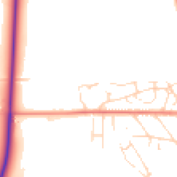
Daytime· 07:00 – 23:00
49.5dB

Night-time· 23:00 – 07:00
42.2dB