9 Cremorne Drive, Bilsthorpe, Newark, NG22 8UR
About 9 Cremorne Drive
9 Cremorne Drive is a four-bedroom detached house in Bilsthorpe, Newark, Newark (NG22 8UR). It has a recorded floor area of 114 m² (around 1227 sq ft), construction records dating it to 2007 onwards and council tax band D. The latest certificate (October 2015) shows a C (score 74). The recommended improvements would push it to B (score 84). The latest certificate is from October 2015, so improvements made since then won't be reflected.
Today's modelled estimate of £302,000 sits 87.6% above the 2012 sale of £161,000. On a £-per-square-foot basis, the last sale (£131/sq ft) was about 19.2% below the postcode norm. On the market in August 2012 and unlisted since — roughly 14 years.
What this property has
Inside
- Bedrooms4
- Bathrooms2
Everything you need to know about 9 Cremorne Drive
The true value, the hidden risks and the full sale history, in one report.
Pick your report · every report is £14.99
One time fee only - money back guarantee

The data behind every report


Energy performance
EPC Expired
This certificate is over 10 years old and is no longer valid.Expired 18 Oct 2025
EPC Rating
Get a survey for this property
Level 2 HomeBuyer Report
We've checked 10 risk factors against the available data for this property and believe a Level 2 HomeBuyer Report could be a suitable option for you.
From £595 · Includes VAT
Planning history
9 Cremorne Drive has no planning applications on record.
A planning report still maps activity across the surrounding area and reads this property's extension & conversion potential.
Sales history & valuation
9 Cremorne Drive valuation sits well clear of the typical sold price in this postcode.
£302,000
Modelled from EPC, postcode comparables.
£161,000
Recorded with HM Land Registry.
Sales timeline
12 August 2012Most recent
£161,000
Median price across the last 5 sales in NG22 8UR: £207,000 (2022–2008).
Nearby sales in NG22 8UR
3 Cremorne Drive, Bilsthorpe, Newark, NG22 8UR
Sold Jul 2022
£273,0005 Cremorne Drive, Bilsthorpe, Newark, NG22 8UR
Sold Sept 2019
£220,0007 Cremorne Drive, Bilsthorpe, Newark, NG22 8UR
Sold Aug 2017
£207,0001 Cremorne Drive, Bilsthorpe, Newark, NG22 8UR
Sold Jan 2008
£170,00011 Cremorne Drive, Bilsthorpe, Newark, NG22 8UR
Sold Jul 2007
£185,950
Versus other Cremorne Drive homes
9 Cremorne Drive is notably below the street on price per m².
Price per m²
£1,412
Street avg £1,980
Floor Area
114 m²
Street avg 105 m²
Habitable Rooms
6 rooms
Street avg 6 rooms
CO₂ Emissions
3.2 t/year
Street avg 3.2 t/year
Everything you need to know about 9 Cremorne Drive
The true value, the hidden risks and the full sale history, in one report.
Pick your report · every report is £14.99
One time fee only - money back guarantee
The data behind every report
Similar properties nearby
1 Church View, Bilsthorpe
NG22 8TB
1 Carding Close, Farnsfield
NG22 8FD
1 Chapel Court, Edingley
NG22 8BD
1 Alexander Road, Farnsfield
NG22 8LH
1 Church Side, Farnsfield
NG22 8ET
1 Birch Avenue, Farnsfield
NG22 8LG
1 Cedar Close, Farnsfield
NG22 8FW
1 Bracken Court, Bilsthorpe
NG22 8UP
The neighbourhood at a glance
Daytime road noise here sits well below conversation level — a quiet pocket of the postcode.
Crime
3/mo
Steady year-on-year across the wider district.
Nearest stop
0.2 km
Mickledale Close — bus stop.
Closest school
0.7 km
Bilsthorpe Flying High Academy. 1 school nearby.
Go deeper on the local area
A Local Area report breaks down crime, transport links, schools and air quality in depth.
Road noise across the postcode
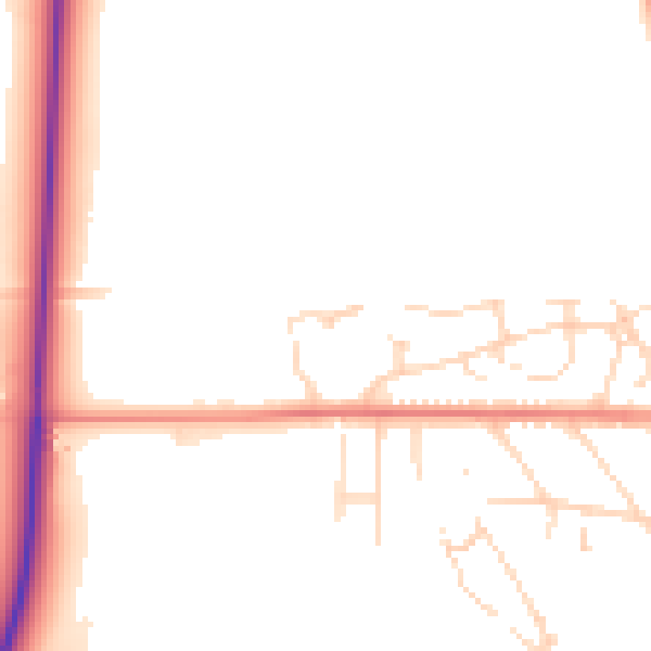
Daytime· 07:00 – 23:00
49.5dB

Night-time· 23:00 – 07:00
42.2dB