8a, Brook Street, Sutton In Ashfield, NG17 1AL
About 8a
8a is a mid-terrace house in Sutton In Ashfield (NG17 1AL). It has a recorded floor area of 106 m² (around 1141 sq ft), construction records dating it to 1930-1949 and council tax band A. The latest certificate (December 2020) shows a D (score 61), on the cusp of jumping into the C band. The recommended improvements would push it to C (score 70).
It hasn't traded since June 2001, a hold of 25 years that's notably long for the area. At 106 m² the property is well over the postcode median (43 m² across 10 EPCs), placing it in the larger end of the local stock. Today's modelled estimate of £151,000 sits 179.6% above the 2001 sale of £54,000. On a £-per-square-foot basis, the last sale (£47/sq ft) was about 59.6% below the postcode norm. One historical planning record sits against the property in 2001.
Know exactly what you're buying at 8a
Before you offer, see what the listing won't tell you, the true value, the red flags and the full history.
Already flagged here
Valuation
against the asking price
Risks
planning & flood
Sold prices
similar homes nearby
Trends
the local market
Energy performance
EPC Rating
Planning history
- Oct 2001
We flagged 1 thing worth checking at 8a
Independent checks surfaced things a buyer would want to understand before offering. The report explains each one in full, with the underlying data and what to ask.
- Larger development activity nearby
30-day money-back guarantee
Sales history & valuation
£151,000
Modelled from EPC, postcode comparables.
£54,000
Recorded with HM Land Registry.
Sales timeline
18 June 2001Most recent
£54,000
Median price across the last 5 sales in NG17 1AL: £135,000 (2022–2013).
Nearby sales in NG17 1AL
Everything we know about 8a, in one report
What it's really worth, what could be wrong, and the planning, sales and area data in full.
What we flagged
- Larger development activity nearby

Versus other Brook Street homes
Price per m² for 8a lags the street by a wide margin.
Price per m²
£509
Street avg £1,651
Floor Area
106 m²
Street avg 67 m²
Habitable Rooms
5 rooms
Street avg 3 rooms
CO₂ Emissions
5.3 t/year
Street avg 3.3 t/year
Similar properties nearby
The neighbourhood at a glance
Crime
5/mo
Steady year-on-year across the wider district.
Nearest stop
0.2 km
Church Hill — bus stop.
Closest school
0.3 km
Sutton Community Academy. 20 schools nearby.
Go deeper on the local area
The full report breaks down crime, transport links, schools and air quality in depth.
Road noise across the postcode
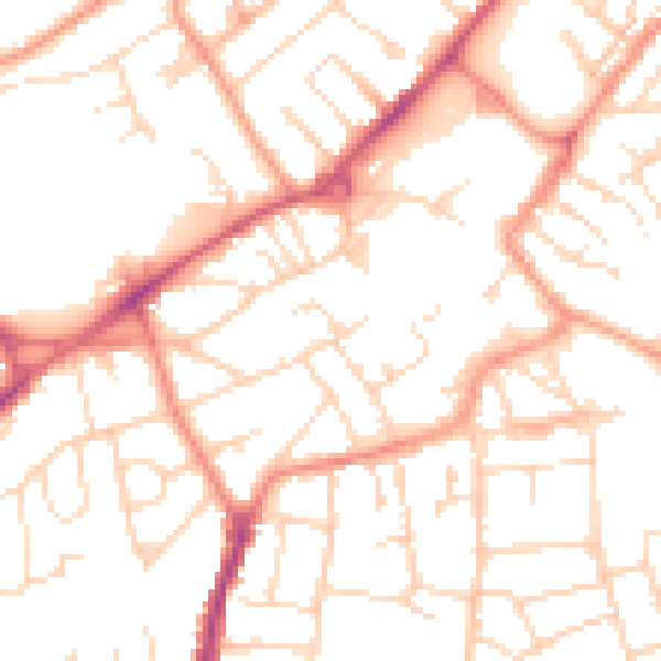
Daytime· 07:00 – 23:00
51.6dB

Night-time· 23:00 – 07:00
40.1dB