21 Hall Lane, Brinsley, Nottingham, NG16 5AG
About 21 Hall Lane
21 Hall Lane is a four-bedroom detached house in Brinsley, Nottingham, Nottingham (NG16 5AG). It has a recorded floor area of 152 m² (around 1636 sq ft), construction records dating it to before 1900 and council tax band E. The latest certificate (June 2021) shows a D (score 59), a step below the typical UK home. The recommended improvements would lift it to B (score 81), a 2-band jump.
On a £-per-square-foot basis, the last sale (£321/sq ft) was about 107.1% above the typical sold price in the postcode. 2 planning records sit against the property, 0 approved, 0 refused. Last sale on file: £525,000 in August 2021. That sale was during the post-pandemic price surge, when transactions cleared materially above pre-2020 trend.
Know exactly what you're buying at 21 Hall Lane
Before you offer, see what the listing won't tell you, the true value, the red flags and the full history.
Already flagged here
Valuation
against the asking price
Risks
planning & flood
Sold prices
similar homes nearby
Trends
the local market
What this property has
Inside
- Bedrooms4
- Bathrooms1
- Dining roomYes
- EnsuiteYes
Outside
- Private gardenYes
- GarageDouble
Energy performance
21 Hall Lane's carbon output runs well above what efficient homes in the postcode produce.
EPC Rating
Planning history
- Mar 2022ExtensionFullIn report
Extension: Single storey · Rear of property
Construct extension to ground and first floor to rear elevation. Replace existing pitched roof to ground floor extension to flat roof with balcony above. Juliet balcony and doors to extended bedroom at first floor.
- Agent
- Simon Gee Designs Ltd
- Documents
- 11 docs on file
- Reference
- 21/01049/FUL
- Nov 2021Tree WorksTreesIn report
T1 - Yew - lateral reduction, approx 2m. T2 - Copper Beech - crown lift approx 4m and prune side of lower crown to match in with rest of crown. This tree is subject to a TPO. T3 - Lime - crown lift approx 4m. T4 - Cherry - crown lift and side prune OR fell. T5 - Conifer - reduce height to approx 5m from ground level. T6-11 - Poplars - pollard to approx 5m from ground level.
- Documents
- 1 doc on file
- Reference
- 21/00854/TPOW
We flagged 1 thing worth checking at 21 Hall Lane
Independent checks surfaced things a buyer would want to understand before offering. The report explains each one in full, with the underlying data and what to ask.
- Larger development activity nearby
30-day money-back guarantee
Sales history & valuation
The latest sale landed in the post-pandemic price surge — useful context when reading the figure.
£573,000
Modelled from EPC, postcode comparables.
£525,000
Recorded with HM Land Registry.
Sales timeline
26 August 2021Most recent
£525,000
Median price across the last 5 sales in NG16 5AG: £462,500 (2024–2017).
Nearby sales in NG16 5AG
3 Manor Farm Mews, Hall Lane, Brinsley, Nottingham, NG16 5AG
Sold Nov 2024
£500,00023a, Hall Lane, Brinsley, Nottingham, NG16 5AG
Sold May 2023
£462,50025 Hall Lane, Brinsley, Nottingham, NG16 5AG
Sold Oct 2020
£195,00019 Hall Lane, Brinsley, Nottingham, NG16 5AG
Sold Sept 2020
£715,0002 Manor Farm Mews, Hall Lane, Brinsley, Nottingham, NG16 5AG
Sold Nov 2017
£350,000
Everything we know about 21 Hall Lane, in one report
What it's really worth, what could be wrong, and the planning, sales and area data in full.
What we flagged
- Larger development activity nearby

Versus other Hall Lane homes
Price per m² for 21 Hall Lane runs comfortably ahead of the street norm.
Price per m²
£3,454
Street avg £2,503
Floor Area
152 m²
Street avg 184 m²
Habitable Rooms
7 rooms
Street avg 7 rooms
CO₂ Emissions
7.5 t/year
Street avg 9.1 t/year
Similar properties nearby
1 Alfreton Road, Underwood
NG16 5FQ
1 Ashbourne Road, Underwood
NG16 5EH
1 Barrows Green Cottages, Wagstaff Lane, Jacksdale
NG16 5HN
1 Cordy Lane, Brinsley
NG16 5BY
1 Church Lane, Brinsley
NG16 5AD
1 Cheshire Way, Westwood
NG16 5JT
1 Castlefields, Codnor Park, Ironville
NG16 5QJ
1 Benjamin Court, Codnor Park, Ironville
NG16 5RY
The neighbourhood at a glance
Reported crime in the wider district is trending notably upward year-on-year.
Crime
3/mo
Rising year-on-year across the wider district.
Nearest stop
0.2 km
Hall Lane — bus stop.
Closest school
0.8 km
Brinsley Primary and Nursery School. 15 schools nearby.
Go deeper on the local area
The full report breaks down crime, transport links, schools and air quality in depth.
Road noise across the postcode
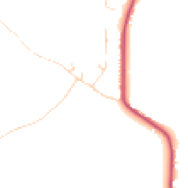
Daytime· 07:00 – 23:00
44.9dB
Night-time· 23:00 – 07:00
38.2dB