22 Horsendale Avenue, Nuthall, Nottingham, NG16 1AN
About 22 Horsendale Avenue
22 Horsendale Avenue is a three-bedroom detached house in Nuthall, Nottingham, Nottingham (NG16 1AN). It has a recorded floor area of 87 m² (around 936 sq ft), construction records dating it to 1930-1949 and council tax band C. The latest certificate (June 2016) shows an E (score 48), well below the UK norm with real room to improve. Earlier certificates rated it D (June 2011); the latest reading is one band lower. Between certificates, roof efficiency went from Very Poor to Very Good and lighting went from Average to Good; while wall efficiency dropped from Poor to Very Poor and window efficiency dropped from Good to Average. The recommended improvements would lift it to B (score 84), a 3-band jump. Records show the property has been extended at some point in its history.
Across 2007–2016, sale prices on this property compounded at 2.4% per year. Today's modelled estimate of £312,000 sits 57.2% above the 2016 sale of £198,500. On a £-per-square-foot basis, the last sale (£212/sq ft) was about 15.9% above the typical sold price in the postcode. On the market in November 2016 and unlisted since — roughly 10 years. One historical planning record sits against the property in 2020.
Know exactly what you're buying at 22 Horsendale Avenue
Before you offer, see what the listing won't tell you, the true value, the red flags and the full history.
Valuation
against the asking price
Risks
planning & flood
Sold prices
similar homes nearby
Trends
the local market
What this property has
Inside
- Bedrooms3
- Bathrooms2
- Dining roomYes
- Utility roomYes
- CloakroomYes
- StudyYes
Outside
- ParkingOff road
Building
- Previously extendedYes
Energy performance
Recommended upgrades on file would lift this property by multiple EPC bands.
EPC Rating
Property Improvements
Changes detected from historical EPC data
Heating controls changed
Loft insulation upgraded to recommended levels
More low energy lighting installed
Planning history
- Jun 2020ExtensionFullIn report
Extension: Single storey · Side of property
Construct single storey side extension
- Agent
- Lacey & Owen Architectural Services Limited
- Documents
- 5 docs on file
- Reference
- 20/00308/FUL
What's in 22 Horsendale Avenue, Nuthall, Nottingham, NG16 1AN's planning history?
Refusals, disputes and full decisions on this property and nearby, in the report.
Sales history & valuation
22 Horsendale Avenue valuation sits well clear of the typical sold price in this postcode.
£312,000
Modelled from EPC, postcode comparables and a sale-price growth of 2.4% per year over 9 years.
£198,500
Growth on file: 2.4% per year over 9 years.
Sales timeline
22 November 2016Most recent
£198,500
+24.1%over 8 years19 December 2007
£160,000
Median price across the last 5 sales in NG16 1AN: £287,000 (2025–2022).
Nearby sales in NG16 1AN
76 Horsendale Avenue, Nuthall, Nottingham, NG16 1AN
Sold Sept 2025
£300,50010 Horsendale Avenue, Nuthall, Nottingham, NG16 1AN
Sold Jul 2025
£287,00042 Horsendale Avenue, Nuthall, Nottingham, NG16 1AN
Sold Jun 2023
£302,5004 Horsendale Avenue, Nuthall, Nottingham, NG16 1AN
Sold Mar 2023
£269,00080 Horsendale Avenue, Nuthall, Nottingham, NG16 1AN
Sold Nov 2022
£280,550
Everything we know about 22 Horsendale Avenue, in one report
What it's really worth, what could be wrong, and the planning, sales and area data in full.
- Am I paying too much?
- Is something wrong with it?
- Is the agent's story true?
- Will it hold its value?

Versus other Horsendale Avenue homes
Price per m²
£2,282
Street avg £2,426
Floor Area
87 m²
Street avg 91 m²
Habitable Rooms
4 rooms
Street avg 4 rooms
CO₂ Emissions
5.4 t/year
Street avg 5.8 t/year
Similar properties nearby
1 Blackfriars Close, Nuthall
NG16 1QJ
1 Alandene Avenue, Watnall
NG16 1HH
1 Britannia Close, Watnall
NG16 1GN
1 Beryldene Avenue, Watnall
NG16 1HJ
1 Cedarland Crescent, Nuthall
NG16 1AG
1 Chaworth Avenue, Watnall
NG16 1JB
1 Burnt Oak Close, Nuthall
NG16 1QR
1 Bishopdale Drive, Watnall
NG16 1LE
The neighbourhood at a glance
Rail-style transport is unusually close for this postcode.
Crime
3/mo
Rising year-on-year across the wider district.
Nearest stop
0.2 km
Highfield Drive — bus stop.
Closest school
0.2 km
Horsendale Primary School. 34 schools nearby.
Go deeper on the local area
The full report breaks down crime, transport links, schools and air quality in depth.
Road noise across the postcode
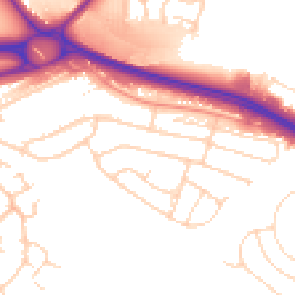
Daytime· 07:00 – 23:00
53.2dB

Night-time· 23:00 – 07:00
45.1dB