18c, Addison Street, Nottingham, NG1 4GY
About 18c
18c is a semi-detached house in Nottingham (NG1 4GY). It has a recorded floor area of 47 m² (around 506 sq ft), construction records dating it to before 1900 and council tax band A. At 47 m² this is the 3rd smallest of 26 units on EPC record in the building, where floor areas span 9–344 m². The building's EPC ratings span E to C, with this unit at the bottom. The latest certificate (September 2020) shows an E (score 52), well below the UK norm with real room to improve. Earlier certificates rated it C (March 2010); the latest reading is 2 bands lower. Between certificates, wall efficiency went from Very Poor to Poor; while roof efficiency dropped from Good to Very Poor and window efficiency dropped from Good to Average. The recommended improvements would push it to D (score 60).
At 47 m² it's 24.2% smaller than the typical home in the postcode (62 m² median across 25 EPCs). It lags the bulk of the postcode on energy efficiency (less efficient than 88% of similar EPCs).
Everything you need to know about 18c
The true value, the hidden risks and the full sale history, in one report.
Pick your report · every report is £14.99
One time fee only - money back guarantee

The data behind every report


Energy performance
EPC Rating
Property Improvements
Changes detected from historical EPC data
Wall insulation improved
Low energy lighting percentage decreased
Get a survey for this property
Level 3 Building Survey
Because the property was built before 1919 and has solid (non-cavity) walls, we believe a Level 3 building survey should be considered.
From £820 · Includes VAT
Planning history
18c has no planning applications on record.
But the area is active
16 notable applications nearby — larger schemes and conversions that could reshape the street. The report maps them all.
Sales history & valuation
18c has no Land Registry sales on file, suggesting it has stayed in the same hands since registration began.
£133,000
Modelled from EPC, postcode comparables.
No sales recorded with HM Land Registry
That can mean the property has never traded since the registry began publishing in 1995, was a new build that hasn't been registered yet, or is held in the same hands long-term.
Median price across the last 4 sales in NG1 4GY: £287,500 (2017–1997).
Versus other Addison Street homes
18c is notably below the street on epc rating.
EPC Rating
52 (E)
Street avg 65 (D)
Floor Area
47 m²
Street avg 58 m²
CO₂ Emissions
3.3 t/year
Street avg 2.6 t/year
Habitable Rooms
2 rooms
Street avg 3 rooms
Everything you need to know about 18c
The true value, the hidden risks and the full sale history, in one report.
Pick your report · every report is £14.99
One time fee only - money back guarantee
The data behind every report
Similar properties nearby
The neighbourhood at a glance
Rail-style transport is unusually close for this postcode.
Crime
39/mo
Rising year-on-year across the wider district.
Nearest stop
0.2 km
Frogmore Street — bus stop.
Closest school
0.6 km
Huntingdon Academy. 46 schools nearby.
Go deeper on the local area
A Local Area report breaks down crime, transport links, schools and air quality in depth.
Road noise across the postcode
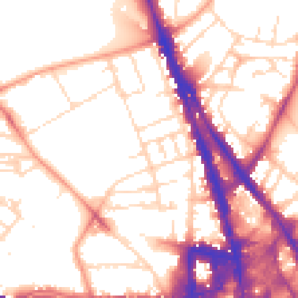
Daytime· 07:00 – 23:00
55.0dB

Night-time· 23:00 – 07:00
44.8dB