7 Auburn Place, Morpeth, NE61 1QN
About 7 Auburn Place
7 Auburn Place is a mid-terrace house in Morpeth (NE61 1QN). It has a recorded floor area of 68 m² (around 732 sq ft), construction records dating it to 1900-1929 and council tax band A. At 68 m² this is the 5th smallest of 15 units on EPC record in the building, where floor areas span 56–160 m². The building's EPC ratings span F to C, with this unit at the top. The latest certificate (October 2022) shows a C (score 71). When first surveyed in November 2012 the rating was D, the property has climbed 1 band since. Between certificates, wall efficiency went from Very Poor to Poor, roof efficiency went from Average to Good and lighting went from Average to Very Good.
Today's modelled estimate of £139,000 sits 63.5% above the 2020 sale of £85,000. On a £-per-square-foot basis, the last sale (£116/sq ft) was about 18.9% below the postcode norm. Most recent transfer: November 2020 at £85,000.
Everything you need to know about 7 Auburn Place
The true value, the hidden risks and the full sale history, in one report.
30-day money-back guarantee

The data behind every report


Energy performance
EPC Rating
Property Improvements
Changes detected from historical EPC data
Wall insulation improved
More low energy lighting installed
Planning history
7 Auburn Place has no planning applications on record.
Notable planning nearby
1applications of note in the surrounding area
We flagged 1 thing worth checking at 7 Auburn Place
Independent checks surfaced things a buyer would want to understand before offering. The report explains each one in full, with the underlying data and what to ask.
- Larger development activity nearby
30-day money-back guarantee
Sales history & valuation
The latest sale landed in the post-pandemic price surge — useful context when reading the figure.
£139,000
Modelled from EPC, postcode comparables.
£85,000
Recorded with HM Land Registry.
Sales timeline
17 November 2020Most recent
£85,000
Median price across the last 5 sales in NE61 1QN: £165,000 (2025–2021).
Nearby sales in NE61 1QN
Versus other Auburn Place homes
On price per m², 7 Auburn Place runs well behind the street norm.
Price per m²
£1,250
Street avg £1,965
Floor Area
68 m²
Street avg 71 m²
Habitable Rooms
4 rooms
Street avg 3 rooms
CO₂ Emissions
2.6 t/year
Street avg 3.8 t/year
Everything you need to know about 7 Auburn Place
The true value, the hidden risks and the full sale history, in one report.
30-day money-back guarantee
The data behind every report
Similar properties nearby
The neighbourhood at a glance
Rail-style transport is unusually close for this postcode.
Crime
3/mo
Rising year-on-year across the wider district.
Nearest stop
0.2 km
Oldgate — bus stop.
Closest school
0.2 km
St Roberts Catholic First School, Morpeth. 8 schools nearby.
Go deeper on the local area
The full report breaks down crime, transport links, schools and air quality in depth.
Road noise across the postcode

Daytime· 07:00 – 23:00
49.6dB
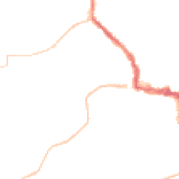
Night-time· 23:00 – 07:00
40.3dB