14 Briarfield Road, Newcastle Upon Tyne, NE3 3UE
About 14 Briarfield Road
14 Briarfield Road is a semi-detached house in Newcastle Upon Tyne (NE3 3UE). It has a recorded floor area of 85 m² (around 915 sq ft), construction records dating it to 1930-1949 and council tax band C. The latest certificate (November 2016) shows a D (score 58), a step below the typical UK home. The recommended improvements would lift it to B (score 83), a 2-band jump.
One planning record on file: an extension approved in 2019. Past consents include an extension, meaningful when judging how the property has evolved. 9 years since the last transfer (December 2016). Today's modelled estimate of £335,000 is 39.6% above the 2016 sale price.
Everything you need to know about 14 Briarfield Road
The true value, the hidden risks and the full sale history, in one report.
30-day money-back guarantee

The data behind every report


Energy performance
Recommended upgrades on file would lift this property by multiple EPC bands.
EPC Rating
Planning history
- Aug 2019ExtensionFullIn report
Extension: Single storey
Erection of single storey extension to rear, single storey extension to front and first floor extension over existing garage to side. As amended by plans received on 07.08.2019.
- Documents
- 8 docs on file
- Reference
- 2019/0657/01/DET
What's in 14 Briarfield Road, Newcastle Upon Tyne, NE3 3UE's planning history?
Refusals, disputes and full decisions on this property and nearby, in the report.
Sales history & valuation
14 Briarfield Road valuation sits well clear of the typical sold price in this postcode.
£335,000
Modelled from EPC, postcode comparables.
£240,000
Recorded with HM Land Registry.
Sales timeline
21 December 2016Most recent
£240,000
Median price across the last 5 sales in NE3 3UE: £465,000 (2025–2021).
Nearby sales in NE3 3UE
8 Briarfield Road, Newcastle Upon Tyne, NE3 3UE
Sold Jan 2025
£337,5001 Briarfield Road, Newcastle Upon Tyne, NE3 3UE
Sold Aug 2022
£525,00019 Briarfield Road, Newcastle Upon Tyne, NE3 3UE
Sold Jul 2022
£517,00013 Briarfield Road, Newcastle Upon Tyne, NE3 3UE
Sold Mar 2022
£465,00023 Briarfield Road, Newcastle Upon Tyne, NE3 3UE
Sold Sept 2021
£375,550
Versus other Briarfield Road homes
14 Briarfield Road is notably below the street on floor area.
Price per m²
£2,824
Street avg £3,278
Floor Area
85 m²
Street avg 113 m²
Habitable Rooms
5 rooms
Street avg 6 rooms
CO₂ Emissions
4.9 t/year
Street avg 4.8 t/year
Everything you need to know about 14 Briarfield Road
The true value, the hidden risks and the full sale history, in one report.
30-day money-back guarantee
The data behind every report
Similar properties nearby
The neighbourhood at a glance
Crime
6/mo
Steady year-on-year across the wider district.
Nearest stop
0.1 km
Salters Road-Briarfield Road — bus stop.
Closest school
0.5 km
Archibald First School. 26 schools nearby.
Go deeper on the local area
The full report breaks down crime, transport links, schools and air quality in depth.
Road noise across the postcode
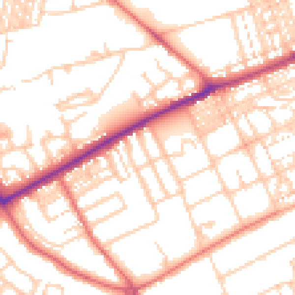
Daytime· 07:00 – 23:00
53.1dB

Night-time· 23:00 – 07:00
41.4dB