1 5, Hartburn Walk, Newcastle Upon Tyne, NE3 3YU
About 1 5
1 5 is a semi-detached house in Newcastle Upon Tyne (NE3 3YU). It has a recorded floor area of 231 m² (around 2489 sq ft), construction records dating it to 1950-1966 and council tax band A. The latest certificate (September 2009) shows a D (score 67), on the cusp of jumping into the C band. The latest certificate is from September 2009, so improvements made since then won't be reflected.
At 231 m² the property is well over the postcode median (75 m² across 25 EPCs), placing it in the larger end of the local stock. One planning record on file: change of use to residential approved in 2009. Past consents include change of use to residential, meaningful when judging how the property has evolved.
Everything you need to know about 1 5
The true value, the hidden risks and the full sale history, in one report.
30-day money-back guarantee

The data behind every report


Energy performance
1 5's carbon output runs well above what efficient homes in the postcode produce.
EPC Expired
This certificate is over 10 years old and is no longer valid.Expired 01 Sept 2019
EPC Rating
Planning history
- Jun 2009Change of UseIn report
City Council Development: Change of use from childrens home (Class C2) to residential dwelling house (Class C3)
- Documents
- 13 docs on file
- Reference
- 2009/0601/01/GRA
What's in 1 5, Hartburn Walk, Newcastle Upon Tyne, NE3 3YU's planning history?
Refusals, disputes and full decisions on this property and nearby, in the report.
Sales history & valuation
1 5 has no Land Registry sales on file, suggesting it has stayed in the same hands since registration began.
£208,000
Modelled from EPC, postcode comparables.
No sales recorded with HM Land Registry
That can mean the property has never traded since the registry began publishing in 1995, was a new build that hasn't been registered yet, or is held in the same hands long-term.
Median price across the last 5 sales in NE3 3YU: £86,000 (2021–2005).
Versus other Hartburn Walk homes
1 5 outperforms the street on floor area by a wide margin.
EPC Rating
67 (D)
Street avg 61 (D)
Floor Area
231 m²
Street avg 87 m²
CO₂ Emissions
7.3 t/year
Street avg 4.4 t/year
Habitable Rooms
9 rooms
Street avg 4 rooms
Everything you need to know about 1 5
The true value, the hidden risks and the full sale history, in one report.
30-day money-back guarantee
The data behind every report
Similar properties nearby
The neighbourhood at a glance
Crime
6/mo
Steady year-on-year across the wider district.
Nearest stop
0.2 km
Hazeldene Avenue-Castle Close — bus stop.
Closest school
0.2 km
St Cuthberts Catholic Primary School, Kenton. 33 schools nearby.
Go deeper on the local area
The full report breaks down crime, transport links, schools and air quality in depth.
Road noise across the postcode

Daytime· 07:00 – 23:00
56.8dB
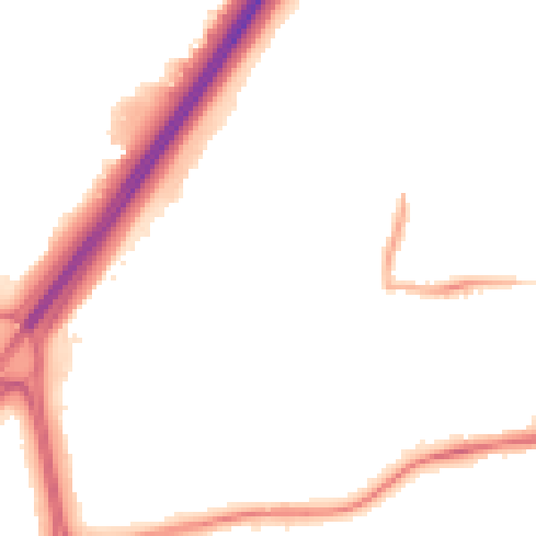
Night-time· 23:00 – 07:00
47.3dB