78 Forsyth Road, Newcastle Upon Tyne, NE2 3EU
About 78 Forsyth Road
78 Forsyth Road is a five-bedroom mid-terrace house in Newcastle Upon Tyne (NE2 3EU). It has a recorded floor area of 118 m² (around 1270 sq ft), construction records dating it to 1900-1929 and council tax band D. The latest certificate (October 2018) shows an E (score 50), well below the UK norm with real room to improve. When first surveyed in November 2008 the rating was F, the property has climbed 1 band since. Between certificates, wall efficiency went from Very Poor to Poor, window efficiency went from Very Poor to Average and hot-water efficiency went from Poor to Good; while roof efficiency dropped from Very Good to Very Poor. The recommended improvements would lift it to C (score 77), a 2-band jump.
It hasn't traded since June 1995, a hold of 31 years that's notably long for the area. Only one transfer is on record with HM Land Registry, suggesting it has stayed in the same hands for a long time. At 118 m² the property is well over the postcode median (70 m² across 5 EPCs), placing it in the larger end of the local stock. It lags the bulk of the postcode on energy efficiency (less efficient than 80% of similar EPCs). Today's modelled estimate of £335,000 sits 371.8% above the 1995 sale of £71,000. On a £-per-square-foot basis, the last sale (£56/sq ft) was about 79.8% below the postcode norm.
Know exactly what you're buying at 78 Forsyth Road
Before you offer, see what the listing won't tell you, the true value, the red flags and the full history.
Already flagged here
Valuation
against the asking price
Risks
planning & flood
Sold prices
similar homes nearby
Trends
the local market
What this property has
Inside
- Bedrooms5
- Bathrooms2
Energy performance
78 Forsyth Road's carbon output runs well above what efficient homes in the postcode produce.
EPC Rating
Property Improvements
Changes detected from historical EPC data
Hot water efficiency improved
Single glazing replaced with double or better glazing
More low energy lighting installed
Hot water system upgraded
Wall insulation improved
More low energy lighting installed
Planning history
78 Forsyth Road has no planning applications on record.
Notable planning nearby
16applications of note in the surrounding area
We flagged 1 thing worth checking at 78 Forsyth Road
Independent checks surfaced things a buyer would want to understand before offering. The report explains each one in full, with the underlying data and what to ask.
- Signs of HMO activity in the area
30-day money-back guarantee
Sales history & valuation
Latest sale on 78 Forsyth Road was the lowest on Land Registry record across the postcode.
£335,000
Modelled from EPC, postcode comparables.
£71,000
Recorded with HM Land Registry.
Sales timeline
22 June 1995Most recent
£71,000
Median price across the last 5 sales in NE2 3EU: £198,500 (2025–2003).
Nearby sales in NE2 3EU
80 Forsyth Road, Newcastle Upon Tyne, NE2 3EU
Sold Oct 2025
£760,0003 St Georges Mews, Forsyth Road, Newcastle Upon Tyne, NE2 3EU
Sold Jan 2025
£190,0004 St Georges Mews, Forsyth Road, Newcastle Upon Tyne, NE2 3EU
Sold Aug 2003
£215,0002 St Georges Mews, Forsyth Road, Newcastle Upon Tyne, NE2 3EU
Sold Aug 2003
£210,0001 St Georges Mews, Forsyth Road, Newcastle Upon Tyne, NE2 3EU
Sold Aug 2003
£210,000
Everything we know about 78 Forsyth Road, in one report
What it's really worth, what could be wrong, and the planning, sales and area data in full.
What we flagged
- Signs of HMO activity in the area

Versus other Forsyth Road homes
78 Forsyth Road is notably below the street on price per m².
Price per m²
£602
Street avg £3,285
Floor Area
118 m²
Street avg 89 m²
Habitable Rooms
5 rooms
Street avg 5 rooms
CO₂ Emissions
7.8 t/year
Street avg 4.1 t/year
Similar properties nearby
1 Brentwood Avenue
NE2 3DH
1 Holmwood Grove
NE2 3DS
1 Crossway, Jesmond
NE2 3QH
1 Highbury
NE2 3BX
1 Kingswood Avenue
NE2 3NS
1 Haldane Terrace
NE2 3AN
1 Honister Avenue
NE2 3PA
1 Beatty Avenue
NE2 3QN
The neighbourhood at a glance
Rail-style transport is unusually close for this postcode.
Crime
5/mo
Steady year-on-year across the wider district.
Nearest stop
0.2 km
Osborne Road-Mistletoe Road — bus stop.
Closest school
0.1 km
West Jesmond Primary School. 33 schools nearby.
Go deeper on the local area
The full report breaks down crime, transport links, schools and air quality in depth.
Road noise across the postcode
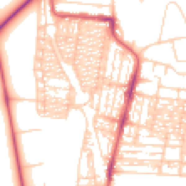
Daytime· 07:00 – 23:00
54.0dB

Night-time· 23:00 – 07:00
42.7dB