56 Helmsley Road, Newcastle Upon Tyne, NE2 1DL
About 56 Helmsley Road
56 Helmsley Road is a mid-terrace house in Newcastle Upon Tyne (NE2 1DL). It has a recorded floor area of 80 m² (around 861 sq ft), construction records dating it to before 1900 and council tax band A. The latest certificate (September 2018) shows a C (score 70).
Across 2002–2022, sale prices on this property compounded at 5% per year. Today's modelled estimate of £167,000 is 16.5% below the 2022 sale of £200,000, running counter to the wider postcode trend, which makes the EPC and condition history especially worth a look. On a £-per-square-foot basis, the last sale (£232/sq ft) was about 37.4% above the typical sold price in the postcode. At 80 m² it's 17.6% larger than the typical home in the postcode (68 m² median across 17 EPCs). One planning record on file: subdivision refused in 2013. Sold November 2022 for £200,000. That sale was during the post-pandemic price surge, when transactions cleared materially above pre-2020 trend.
Know exactly what you're buying at 56 Helmsley Road
Before you offer, see what the listing won't tell you, the true value, the red flags and the full history.
Already flagged here
Valuation
against the asking price
Risks
planning & flood
Sold prices
similar homes nearby
Trends
the local market
Energy performance
EPC Rating
Planning history
Council records show a subdivision application — the property's legal arrangement has been altered.
- Jul 2013SubdivisionFullIn report
Conversion of two bedroom ground floor flat (Class C3) to three bedroom flat in multiple occupation (Class C4)
- Reference
- 2013/0755/01/DET
We flagged 1 thing worth checking at 56 Helmsley Road
Independent checks surfaced things a buyer would want to understand before offering. The report explains each one in full, with the underlying data and what to ask.
- Signs of HMO activity in the area
30-day money-back guarantee
Sales history & valuation
Sale price has at least doubled since 2002.
£167,000
Modelled from EPC, postcode comparables and a sale-price growth of 5.0% per year over 21 years.
£200,000
Growth on file: 5.0% per year over 21 years.
Sales timeline
25 November 2022Most recent
£200,000
+150.0%over 20 years30 April 2002
£80,000
+11.1%18 January 2002
£72,000
Median price across the last 5 sales in NE2 1DL: £190,000 (2025–2021).
Nearby sales in NE2 1DL
64 Helmsley Road, Newcastle Upon Tyne, NE2 1DL
Sold Oct 2025
£540,00046 Helmsley Road, Newcastle Upon Tyne, NE2 1DL
Sold Oct 2024
£180,00044 Helmsley Road, Newcastle Upon Tyne, NE2 1DL
Sold Jun 2023
£190,00054 Helmsley Road, Newcastle Upon Tyne, NE2 1DL
Sold Nov 2022
£335,00040 Helmsley Road, Newcastle Upon Tyne, NE2 1DL
Sold Dec 2019
£5,095,000
Everything we know about 56 Helmsley Road, in one report
What it's really worth, what could be wrong, and the planning, sales and area data in full.
What we flagged
- Signs of HMO activity in the area

Versus other Helmsley Road homes
Years Held for 56 Helmsley Road lags the street by a wide margin.
Price per m²
£2,500
Street avg £7,791
Floor Area
80 m²
Street avg 80 m²
Habitable Rooms
4 rooms
Street avg 4 rooms
CO₂ Emissions
3.1 t/year
Street avg 3.4 t/year
Similar properties nearby
1 Greystoke Avenue
NE2 1PN
1 Copland Terrace
NE2 1YB
1 Granville Gardens
NE2 1HL
1 Middleton Court, Hutton Terrace, Jesmond
NE2 1QY
1 Helmsley Mews
NE2 1BE
1 Chelmsford Lofts, Chelmsford Grove
NE2 1DY
1 Beadnell Place
NE2 1YD
1 Kelvin Grove
NE2 1RL
The neighbourhood at a glance
Rail-style transport is unusually close for this postcode.
Crime
5/mo
Steady year-on-year across the wider district.
Nearest stop
0.1 km
Portland Road-Shield Court — bus stop.
Closest school
0.5 km
St Catherine's Catholic Primary School. 28 schools nearby.
Go deeper on the local area
The full report breaks down crime, transport links, schools and air quality in depth.
Road noise across the postcode
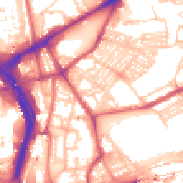
Daytime· 07:00 – 23:00
57.7dB

Night-time· 23:00 – 07:00
46.9dB