Flat A, 69 Anson Road, London, N7 0AS
About Flat A
Flat A is a semi-detached house in London (N7 0AS). It has a recorded floor area of 156 m² (around 1679 sq ft) and construction records dating it to before 1900. The latest certificate (June 2016) shows an E (score 45), well below the UK norm with real room to improve. The rating has held steady at E across 2 certificates since November 2010. Between certificates, window efficiency went from Very Poor to Poor and lighting went from Very Poor to Poor. The recommended improvements would lift it to C (score 73), a 2-band jump.
At 156 m² the property is well over the postcode median (56 m² across 37 EPCs), placing it in the larger end of the local stock. It lags the bulk of the postcode on energy efficiency (less efficient than 89% of similar EPCs). Across 2002–2019, sale prices on this property compounded at 6.8% per year. Today's modelled estimate of £1,328,000 is 10.7% above the 2019 sale price. On a £-per-square-foot basis, the last sale (£715/sq ft) was about 78.4% above the typical sold price in the postcode. Last sale on file: £1,200,000 in November 2019.
Know exactly what you're buying at Flat A
Before you offer, see what the listing won't tell you, the true value, the red flags and the full history.
Valuation
against the asking price
Risks
planning & flood
Sold prices
similar homes nearby
Trends
the local market
Energy performance
Flat A's carbon output runs well above what efficient homes in the postcode produce.
EPC Rating
Property Improvements
Changes detected from historical EPC data
Heating controls upgraded for better temperature management
Single glazing replaced with double or better glazing
Planning history
Flat A has no planning applications on record.
Notable planning nearby
3applications of note in the surrounding area
Sales history & valuation
Latest sale on Flat A was the highest on Land Registry record across the postcode.
£1,328,000
Modelled from EPC, postcode comparables and a sale-price growth of 6.8% per year over 17 years.
£1,200,000
Growth on file: 6.8% per year over 17 years.
Sales timeline
1 November 2019Most recent
£1,200,000
+79.6%over 7 years22 July 2012
£668,000
+70.2%over 9 years15 November 2002
£392,500
Median price across the last 5 sales in N7 0AS: £645,000 (2025–2019).
Nearby sales in N7 0AS
Garden Flat, 65 Anson Road, Islington, London, N7 0AS
Sold Aug 2025
£720,000Second Floor Flat, 71 Anson Road, London, N7 0AS
Sold Mar 2025
£610,000Ground Floor Flat, 71 Anson Road, London, N7 0AS
Sold May 2021
£645,00079 Anson Road, Islington, London, N7 0AS
Sold Jul 2019
£650,00079a, Anson Road, Islington, London, N7 0AS
Sold Feb 2016
£655,000
Everything we know about Flat A, in one report
What it's really worth, what could be wrong, and the planning, sales and area data in full.
- Am I paying too much?
- Is something wrong with it?
- Is the agent's story true?
- Will it hold its value?

Versus other Anson Road homes
Flat A outperforms the street on floor area by a wide margin.
Price per m²
£7,692
Street avg £6,893
Floor Area
156 m²
Street avg 65 m²
Habitable Rooms
5 rooms
Street avg 3 rooms
CO₂ Emissions
10.0 t/year
Street avg 2.9 t/year
Similar properties nearby
1a, Flat 5, Campdale Road
N7 0EA
1a, Flat 4, Campdale Road
N7 0EA
12a, Flat 3, Brecknock Road
N7 0DD
1 3, Flat 2, Pleshey Road, Islington
N7 0RA
1 3, Flat 1, Pleshey Road, Islington
N7 0RA
1 3, Flat 3, Pleshey Road, Islington
N7 0RA
12a, Flat 4, Brecknock Road
N7 0DD
229a, Flat 11, Camden Road, Islington
N7 0DN
The neighbourhood at a glance
Rail-style transport is unusually close for this postcode.
Crime
12/mo
Rising year-on-year across the wider district.
Nearest stop
0.2 km
Dalmeny Road — bus stop.
Closest school
0.2 km
Tufnell Park Primary School. 78 schools nearby.
Go deeper on the local area
The full report breaks down crime, transport links, schools and air quality in depth.
Road noise across the postcode
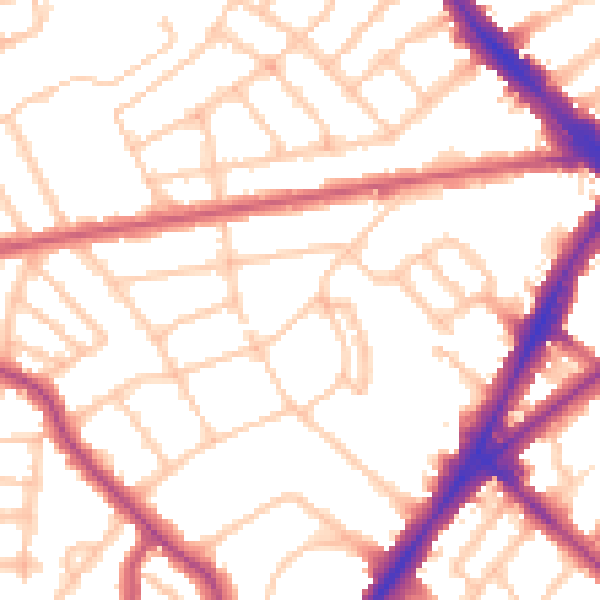
Daytime· 07:00 – 23:00
53.3dB

Night-time· 23:00 – 07:00
43.1dB