Are you a property professional?Get qualified leads from motivated homeowners.
Get started11 Jacksons Lane, Haringey, London, N6 5SR
4 planning records
About 11 Jacksons Lane
A plain-English summary derived from public records, EPC certificates, sold prices and local data.
11 Jacksons Lane is a five-bedroom mid-terrace house in Haringey, London, London (N6 5SR). It has a recorded floor area of 276 m² (around 2971 sq ft), construction records dating it to before 1900 and council tax band G. Tenure is freehold. The latest certificate (April 2015) shows an E (score 39), well below the UK norm with real room to improve. The rating has held steady at E across 2 certificates since September 2014. Between certificates, roof efficiency went from Average to Good; while window efficiency dropped from Poor to Very Poor and hot-water efficiency dropped from Average to Very Poor. The recommended improvements would lift it to C (score 74), a 2-band jump. The latest certificate is from April 2015, so improvements made since then won't be reflected. Other recorded features include a balcony.
Sale prices here have outpaced London HPI: 4.5% per year against 0% for the wider region. On a £-per-square-foot basis, the last sale (£914/sq ft) was about 99.5% above the typical sold price in the postcode. At 276 m² the property is well over the postcode median (68 m² across 46 EPCs), placing it in the larger end of the local stock. 4 planning records sit against the property, 1 approved, 0 refused. Past consents include an extension, meaningful when judging how the property has evolved. Most recent transfer: October 2019 at £2,715,000.
What this property has
Pulled from EPC certificates, claim submissions and our property model. Empty categories are hidden — we only show what's known.
Inside
- Bedrooms5
- Bathrooms3
- Dining roomYes
Outside
- Private garden
Energy performance
Every EPC certificate filed against this property — current rating, recorded improvements, and where there's headroom to reach a higher band.
11 Jacksons Lane's carbon output runs well above what efficient homes in the postcode produce.
EPC Expired
This certificate is over 10 years old and is no longer valid.Expired 28 Apr 2025
Planning history
Applications and permits filed against 11 Jacksons Lane, Haringey, London, N6 5SR, sourced from the PlanIt planning register.
11 Jacksons Lane has an approved single-storey rear extension on the planning record.
- Jul 2025Tree WorksTreesNo Objection
Tree Number - G1 Tree Type - 2x holm oak, camellia 2x yucca and other smaller shrubs across both boarders either side of the garden. Approx. Diameter at 1.5m - 0.25m Approx. Height - 5-7m Approx. Crown Spread Diameter - 4m Location - See map Service - Section dismantle and grind Work Required - Section dismantle trees to near ground level and grind out stumps to approximately 200mm below ground level. Please note grinding will be left for settlement. Reason - To allow for future planting of smaller trees more suited to the site. Priority Code - ON Tree Number - T1 Tree Type - Lime (Tilia cordata) Approx. Diameter at 1.5m - 0.6m Approx. Height - 14m Approx. Crown Spread Diameter - 10m Location - See map Section dismantle tree to near ground level. Reason - Tree has decay at the base that extends approximately 4m up the main stem, there is high foot traffic on the adjacent property due to an active nursery. Priority Code - ON
Sales history & valuation
Recorded transactions, our model's current estimate, and a quick read on what neighbouring properties have sold for.
11 Jacksons Lane valuation sits well clear of the typical sold price in this postcode.
Current estimate
See how we calculated this£2,685,000
Modelled from EPC, postcode comparables and a sale-price growth of 4.5% per year over 5 years.
Last sold (2019)
£2,715,000
Growth on file: 4.5% per year over 5 years.
Sales timeline
Versus other Jacksons Lane homes
Four headline reads against 7 similar houses on this street, drawn from the latest EPC and Land Registry data.
CO₂ Emissions for 11 Jacksons Lane lags the street by a wide margin.
Price per m²
£9,837
Street avg £9,145
Floor Area
276 m²
Street avg 176 m²
Habitable Rooms
9 rooms
Similar properties nearby
A handful of close matches in the same postcode area, ranked by likeness on bedrooms, type and floor area.
The neighbourhood at a glance
A condensed read of the local area. Each tile links through to the full breakdown on the London district page.
Rail-style transport is unusually close for this postcode.
Crime
7/mo
Rising year-on-year across the wider district.
Nearest stop
0.1 km
Highgate — bus stop.
Road noise across the postcode
Modelled day and night-time noise levels around N6 5SR from Defra's strategic mapping. The pin marks this postcode's centroid.
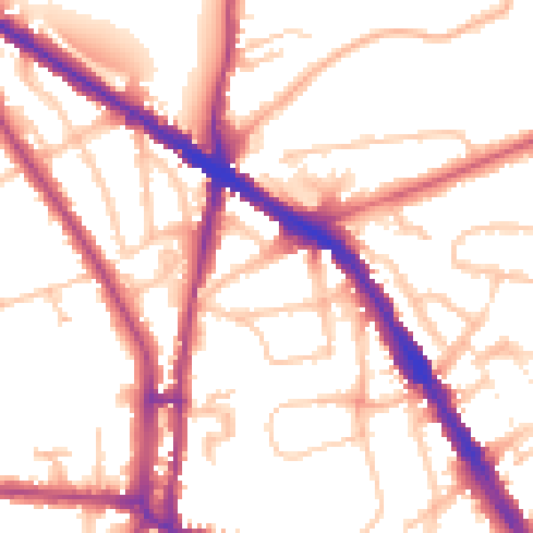
Daytime· 07:00 – 23:00
53.3dB
Everything within walking distance
Schools, transport stops and scenic spots near this property — 85 points of interest in total.
Beautiful places to visit nearby
Curated scenic spots within reach of this postcode, served by Beautifulplaces.ai. Photography and tagging come from their open dataset.
Common questions
The questions buyers, sellers and homeowners most often ask about 11 Jacksons Lane, Haringey, London, N6 5SR. Each answer is also embedded as structured data for search engines.