122 Pemberton Road, Haringey, London, N4 1BA
About 122 Pemberton Road
122 Pemberton Road is a mid-terrace house in Haringey, London, London (N4 1BA). It has a recorded floor area of 42 m² (around 452 sq ft), construction records dating it to before 1900 and council tax band B. At 42 m² this is the smallest unit on EPC record across the building (42–161 m²). The building's EPC ratings span F to C, with this unit at the top. The latest certificate (March 2022) shows a C (score 74). When first surveyed in February 2012 the rating was D, the property has climbed 1 band since. Between certificates, window efficiency went from Very Poor to Average.
At 42 m² it sits well below the postcode median (138 m² across 7 EPCs), making it one of the more compact homes locally.
Know exactly what you're buying at 122 Pemberton Road
Before you offer, see what the listing won't tell you, the true value, the red flags and the full history.
Already flagged here
Valuation
against the asking price
Risks
planning & flood
Sold prices
similar homes nearby
Trends
the local market
Energy performance
122 Pemberton Road's carbon output is low for the local stock.
EPC Rating
Property Improvements
Changes detected from historical EPC data
Heating controls changed
Single glazing replaced with double or better glazing
Low energy lighting percentage decreased
Heating controls upgraded for better temperature management
More low energy lighting installed
Heating controls changed
Single glazing replaced with double or better glazing
Heating controls upgraded for better temperature management
Heating controls upgraded for better temperature management
Windows upgraded, improving insulation
Planning history
122 Pemberton Road has no planning applications on record.
Notable planning nearby
31applications of note in the surrounding area
We flagged 2 things worth checking at 122 Pemberton Road
Independent checks surfaced things a buyer would want to understand before offering. The report explains each one in full, with the underlying data and what to ask.
- Signs of HMO activity in the area
- Larger development activity nearby
30-day money-back guarantee
Sales history & valuation
122 Pemberton Road has no Land Registry sales on file, suggesting it has stayed in the same hands since registration began.
£268,000
Modelled from EPC, postcode comparables.
No sales recorded with HM Land Registry
That can mean the property has never traded since the registry began publishing in 1995, was a new build that hasn't been registered yet, or is held in the same hands long-term.
Median price across the last 5 sales in N4 1BA: £835,000 (2023–2011).
Nearby sales in N4 1BA
108 Pemberton Road, Haringey, London, N4 1BA
Sold Sept 2023
£1,155,000112 Pemberton Road, Haringey, London, N4 1BA
Sold Oct 2018
£835,000118 Pemberton Road, Haringey, London, N4 1BA
Sold Apr 2013
£684,000106 Pemberton Road, Haringey, London, N4 1BA
Sold Dec 2011
£495,000104 Pemberton Road, Haringey, London, N4 1BA
Sold Jun 2007
£460,000
Everything we know about 122 Pemberton Road, in one report
What it's really worth, what could be wrong, and the planning, sales and area data in full.
What we flagged
- Signs of HMO activity in the area
- Larger development activity nearby

Similar properties nearby
1 Chesterfield Mews, Haringey
N4 1LH
1 Hermitage Road, Haringey
N4 1DF
1 Salisbury Road, Haringey
N4 1JY
1 Milverton, Wightman Road, Haringey
N4 1RH
1 St Peters Mews, Haringey
N4 1BT
1 Railway Approach, Haringey
N4 1RG
1 Tancred Road, Haringey
N4 1EH
1 Mattison Road, Haringey
N4 1BG
The neighbourhood at a glance
Rail-style transport is unusually close for this postcode.
Crime
15/mo
Rising year-on-year across the wider district.
Nearest stop
0.1 km
Mattison Road — bus stop.
Closest school
0.1 km
South Harringay Junior School. 80 schools nearby.
Go deeper on the local area
The full report breaks down crime, transport links, schools and air quality in depth.
Road noise across the postcode
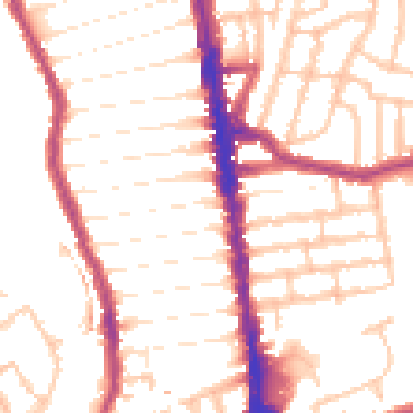
Daytime· 07:00 – 23:00
52.3dB

Night-time· 23:00 – 07:00
43.0dB