Flat A, 2 Imperial Road, Haringey, London, N22 8DE
About Flat A
Flat A is an end-of-terrace house in Haringey, London, London (N22 8DE). It has a recorded floor area of 21 m² (around 226 sq ft), construction records dating it to 1900-1929 and council tax band A. The latest certificate (July 2020) shows a D (score 60), on the cusp of jumping into the C band. Earlier certificates rated it C (February 2009); the latest reading is one band lower. Between certificates, lighting went from Very Poor to Very Good.
At 21 m² it sits well below the postcode median (63 m² across 40 EPCs), making it one of the more compact homes locally.
Know exactly what you're buying at Flat A
Before you offer, see what the listing won't tell you, the true value, the red flags and the full history.
Already flagged here
Valuation
against the asking price
Risks
planning & flood
Sold prices
similar homes nearby
Trends
the local market
Energy performance
EPC Rating
Property Improvements
Changes detected from historical EPC data
Heating system changed
Changed to a more efficient fuel source
Hot water system changed
Upgraded to gas central heating
Connected to mains gas supply
Hot water system upgraded
Heating system changed
Changed to a more efficient fuel source
Hot water system changed
Cavity wall insulation installed
Roof insulation improved
Upgraded to gas central heating
Connected to mains gas supply
Hot water system upgraded
Roof insulation improved
More low energy lighting installed
Heating system changed
Changed to a more efficient fuel source
Hot water system changed
Cavity wall insulation installed
Hot water system upgraded
More low energy lighting installed
Upgraded to gas central heating
Connected to mains gas supply
Hot water system upgraded
Low energy lighting percentage decreased
Heating controls upgraded for better temperature management
Low energy lighting percentage decreased
More low energy lighting installed
Heating controls changed
Planning history
Flat A has no planning applications on record.
Notable planning nearby
25applications of note in the surrounding area
We flagged 2 things worth checking at Flat A
Independent checks surfaced things a buyer would want to understand before offering. The report explains each one in full, with the underlying data and what to ask.
- Signs of HMO activity in the area
- Larger development activity nearby
30-day money-back guarantee
Sales history & valuation
Flat A has no Land Registry sales on file, suggesting it has stayed in the same hands since registration began.
£178,000
Modelled from EPC, postcode comparables.
No sales recorded with HM Land Registry
That can mean the property has never traded since the registry began publishing in 1995, was a new build that hasn't been registered yet, or is held in the same hands long-term.
Median price across the last 5 sales in N22 8DE: £412,500 (2021–2017).
Nearby sales in N22 8DE
18 Imperial Road, Haringey, London, N22 8DE
Sold May 2021
£412,50019 Imperial Road, Haringey, London, N22 8DE
Sold Apr 2021
£740,00012 Imperial Road, Haringey, London, N22 8DE
Sold Jan 2021
£755,0001 Imperial Road, Haringey, London, N22 8DE
Sold Nov 2017
£318,0009 Imperial Road, Haringey, London, N22 8DE
Sold Jun 2017
£525,000
Everything we know about Flat A, in one report
What it's really worth, what could be wrong, and the planning, sales and area data in full.
What we flagged
- Signs of HMO activity in the area
- Larger development activity nearby

Versus other Imperial Road homes
Floor Area for Flat A lags the street by a wide margin.
EPC Rating
60 (D)
Street avg 67 (D)
Floor Area
21 m²
Street avg 61 m²
CO₂ Emissions
1.8 t/year
Street avg 2.6 t/year
Habitable Rooms
1 rooms
Street avg 3 rooms
Similar properties nearby
206a, Flat 2, High Road
N22 8HH
206a, Flat 1, High Road
N22 8HH
137a, Flat 1, Myddleton Road
N22 8NG
137a, Flat 2, Myddleton Road
N22 8NG
105a, Flat 2, Myddleton Road
N22 8NE
137a, Flat 3, Myddleton Road
N22 8NG
105a, Flat 3, Myddleton Road
N22 8NE
105a, Flat 1, Myddleton Road
N22 8NE
The neighbourhood at a glance
Rail-style transport is unusually close for this postcode.
Crime
10/mo
Rising year-on-year across the wider district.
Nearest stop
0.1 km
Nightingale Road (N22) — bus stop.
Closest school
0.5 km
Bounds Green Junior School. 64 schools nearby.
Go deeper on the local area
The full report breaks down crime, transport links, schools and air quality in depth.
Road noise across the postcode
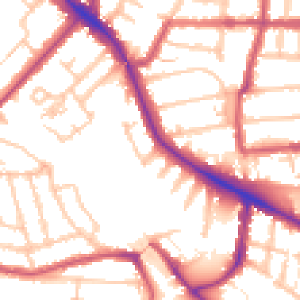
Daytime· 07:00 – 23:00
53.6dB

Night-time· 23:00 – 07:00
42.9dB