31 Edmunds Walk, Barnet, London, N2 0HU
About 31 Edmunds Walk
31 Edmunds Walk is an end-of-terrace house in Barnet, London, London (N2 0HU). It has a recorded floor area of 98 m² (around 1057 sq ft), construction records dating it to 1930-1949 and council tax band E. At 98 m² this is the 6th smallest of 19 units on EPC record in the building, where floor areas span 79–266 m². The building's EPC ratings span E to C, with this unit at the bottom. The latest certificate (May 2009) shows an E (score 41), well below the UK norm with real room to improve. The recommended improvements would push it to D (score 56). The latest certificate is from May 2009, so improvements made since then won't be reflected.
Across 2009–2016, sale prices on this property compounded at -47.3% per year. Today's modelled estimate of £616,000 sits 11163.5% above the 2016 sale of £5,469. On a £-per-square-foot basis, the last sale (£5/sq ft) was about 99.1% below the postcode norm. At 98 m² it's 23% smaller than the typical home in the postcode (128 m² median across 18 EPCs). It lags the bulk of the postcode on energy efficiency (less efficient than 89% of similar EPCs). On the market in May 2016 and unlisted since — roughly 10 years. 2 planning records sit against the property, 0 approved, 0 refused.
Know exactly what you're buying at 31 Edmunds Walk
Before you offer, see what the listing won't tell you, the true value, the red flags and the full history.
Already flagged here
Valuation
against the asking price
Risks
planning & flood
Sold prices
similar homes nearby
Trends
the local market
Energy performance
31 Edmunds Walk's carbon output runs well above what efficient homes in the postcode produce.
EPC Expired
This certificate is over 10 years old and is no longer valid.Expired 13 May 2019
EPC Rating
Planning history
Planning history at 31 Edmunds Walk is exclusively tree-management applications — typical for a property with mature trees on or near the plot.
- Sept 2019Tree WorksTreesIn report
1 x Prunus (AGA Ref. 1) - Thin by 20% as specified in Anthony George and Associates letter dated 2nd October 2018;3 x Cypress (AGA Ref. 2) - Trim as specified in Anthony George and Associates letter dated 2nd October 2018;(Privet hedge (AGA Ref. 3) - Reduce height to 2-3M);
- Documents
- 2 docs on file
- Reference
- TCP/0524/19
- Jun 2008Tree WorksTreesIn report
1 x Gleditsia (T1 on Applicant's Plan) - Remove
- Reference
- TRE/09407/E/08/C
We flagged 2 things worth checking at 31 Edmunds Walk
Independent checks surfaced things a buyer would want to understand before offering. The report explains each one in full, with the underlying data and what to ask.
- Signs of HMO activity in the area
- Larger development activity nearby
30-day money-back guarantee
Sales history & valuation
Latest sale on 31 Edmunds Walk was the lowest on Land Registry record across the postcode.
£616,000
Modelled from EPC, postcode comparables and a sale-price growth of -47.3% per year over 7 years.
£5,469
Growth on file: -47.3% per year over 7 years.
Sales timeline
17 May 2016Most recent
£5,469
-98.7%over 6 years24 August 2009
£407,500
Median price across the last 5 sales in N2 0HU: £1,775,000 (2023–2018).
Nearby sales in N2 0HU
16 Edmunds Walk, Barnet, London, N2 0HU
Sold Dec 2023
£2,070,0007 Edmunds Walk, Barnet, London, N2 0HU
Sold May 2022
£1,950,00014 Edmunds Walk, Barnet, London, N2 0HU
Sold May 2021
£1,775,00041 Edmunds Walk, Barnet, London, N2 0HU
Sold Nov 2018
£825,00029 Edmunds Walk, Barnet, London, N2 0HU
Sold Mar 2018
£8,825
Everything we know about 31 Edmunds Walk, in one report
What it's really worth, what could be wrong, and the planning, sales and area data in full.
What we flagged
- Signs of HMO activity in the area
- Larger development activity nearby

Versus other Edmunds Walk homes
31 Edmunds Walk is notably below the street on price per m².
Price per m²
£56
Street avg £4,087
Floor Area
98 m²
Street avg 108 m²
Habitable Rooms
4 rooms
Street avg 5 rooms
CO₂ Emissions
7.6 t/year
Street avg 5.1 t/year
Similar properties nearby
1 Cricket Row, Church Lane, Barnet
N2 0TD
1 Cecilia Close, Barnet
N2 0UT
1 Dunstan Close, Barnet
N2 0UX
1 Benedict Way, Barnet
N2 0UR
1 Brackenbury Road, Barnet
N2 0SS
1 Cromwell Close, Barnet
N2 0LL
1 Denison Close, Barnet
N2 0JT
1 Albany Row, 12 The Causeway, Barnet
N2 0XB
The neighbourhood at a glance
Rail-style transport is unusually close for this postcode.
Crime
5/mo
Steady year-on-year across the wider district.
Nearest stop
0.1 km
East Finchley Underground Station — subway entrance.
Closest school
0.5 km
Holy Trinity CofE Primary School. 43 schools nearby.
Go deeper on the local area
The full report breaks down crime, transport links, schools and air quality in depth.
Road noise across the postcode
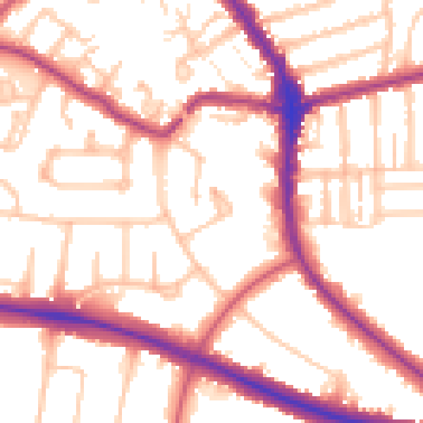
Daytime· 07:00 – 23:00
54.0dB

Night-time· 23:00 – 07:00
44.5dB