29 Edmunds Walk, Barnet, London, N2 0HU
About 29 Edmunds Walk
29 Edmunds Walk is a semi-detached house in Barnet, London, London (N2 0HU). It has a recorded floor area of 117 m² (around 1259 sq ft), construction records dating it to 1900-1929 and council tax band E. At 117 m² this is the 10th smallest of 19 units on EPC record in the building, where floor areas span 79–266 m². The building's EPC ratings span E to C across 19 units on file. The latest certificate (August 2021) shows a D (score 58), a step below the typical UK home. The recommended improvements would push it to C (score 80).
Across 2008–2018, sale prices on this property compounded at -33.2% per year. Today's modelled estimate of £746,000 sits 8353.3% above the 2018 sale of £8,825. On a £-per-square-foot basis, the last sale (£7/sq ft) was about 98.7% below the postcode norm. 5 planning records sit against the property, 1 approved, 0 refused. Past consents include a loft conversion, meaningful when judging how the property has evolved. 8 years since the last transfer (March 2018).
Know exactly what you're buying at 29 Edmunds Walk
Before you offer, see what the listing won't tell you, the true value, the red flags and the full history.
Already flagged here
Valuation
against the asking price
Risks
planning & flood
Sold prices
similar homes nearby
Trends
the local market
Energy performance
EPC Rating
Planning history
- Aug 2023Loft ConversionFullIn report
Conversion of the existing roof space including insertion of 2no. rear conservation rooflights and three rooflights in the roof crown. (Amended Description)
- Agent
- Architecture & Design
- Documents
- 7 docs on file
- Reference
- 23/2729/FUL
- Dec 2016Tree WorksTreesIn report
1 x Birch (applicant's ref. T15) - Prune lateral branches to clear garage roof of 25 Edmunds Walk up to 8m above ground level(superseding TCP/0522/16 and TCP/0523/16)
- Agent
- Urban Forestry
- Documents
- 2 docs on file
- Reference
- TCP/0714/16
We flagged 2 things worth checking at 29 Edmunds Walk
Independent checks surfaced things a buyer would want to understand before offering. The report explains each one in full, with the underlying data and what to ask.
- Signs of HMO activity in the area
- Larger development activity nearby
30-day money-back guarantee
Sales history & valuation
£746,000
Modelled from EPC, postcode comparables and a sale-price growth of -33.2% per year over 10 years.
£8,825
Growth on file: -33.2% per year over 10 years.
Sales timeline
25 March 2018Most recent
£8,825
-98.2%over 9 years30 March 2008
£495,000
Median price across the last 5 sales in N2 0HU: £1,775,000 (2023–2016).
Nearby sales in N2 0HU
16 Edmunds Walk, Barnet, London, N2 0HU
Sold Dec 2023
£2,070,0007 Edmunds Walk, Barnet, London, N2 0HU
Sold May 2022
£1,950,00014 Edmunds Walk, Barnet, London, N2 0HU
Sold May 2021
£1,775,00041 Edmunds Walk, Barnet, London, N2 0HU
Sold Nov 2018
£825,00031 Edmunds Walk, Barnet, London, N2 0HU
Sold May 2016
£5,469
Everything we know about 29 Edmunds Walk, in one report
What it's really worth, what could be wrong, and the planning, sales and area data in full.
What we flagged
- Signs of HMO activity in the area
- Larger development activity nearby

Versus other Edmunds Walk homes
29 Edmunds Walk outperforms the street on floor area by a wide margin.
Price per m²
£75
Street avg £4,083
Floor Area
117 m²
Street avg 106 m²
Habitable Rooms
5 rooms
Street avg 4 rooms
CO₂ Emissions
5.7 t/year
Street avg 5.3 t/year
Similar properties nearby
The neighbourhood at a glance
Rail-style transport is unusually close for this postcode.
Crime
5/mo
Steady year-on-year across the wider district.
Nearest stop
0.1 km
East Finchley Underground Station — subway entrance.
Closest school
0.5 km
Holy Trinity CofE Primary School. 43 schools nearby.
Go deeper on the local area
The full report breaks down crime, transport links, schools and air quality in depth.
Road noise across the postcode
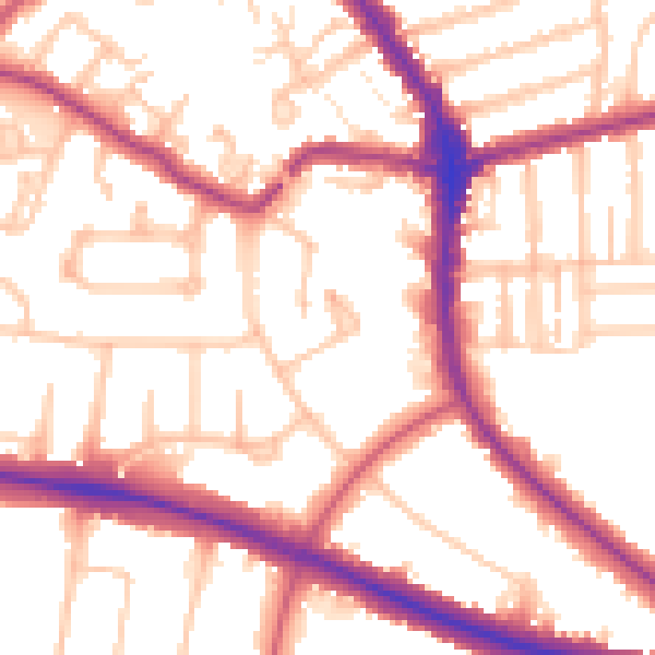
Daytime· 07:00 – 23:00
54.0dB

Night-time· 23:00 – 07:00
44.5dB