1 Edmunds Walk, Barnet, London, N2 0HU
About 1 Edmunds Walk
1 Edmunds Walk is a property in Barnet, London, London (N2 0HU). It has council tax band H.
Untraded for 21 years, with the last transfer in January 2005. 2 planning records sit against the property, 0 approved, 0 refused. Across 1996–2005, sale prices on this property compounded at 11.8% per year.
Know exactly what you're buying at 1 Edmunds Walk
Before you offer, see what the listing won't tell you, the true value, the red flags and the full history.
Already flagged here
Valuation
against the asking price
Risks
planning & flood
Sold prices
similar homes nearby
Trends
the local market
Energy performance
No EPC on record
This property doesn't have an Energy Performance Certificate yet. An EPC is required to sell or let — and unlocks our automated valuation.
Planning history
Planning history at 1 Edmunds Walk is exclusively tree-management applications — typical for a property with mature trees on or near the plot.
- Apr 2001
- Apr 2001
We flagged 2 things worth checking at 1 Edmunds Walk
Independent checks surfaced things a buyer would want to understand before offering. The report explains each one in full, with the underlying data and what to ask.
- Signs of HMO activity in the area
- Larger development activity nearby
30-day money-back guarantee
Sales history & valuation
Sale price has at least doubled since 1996.
£1,010,000
Growth on file: 11.8% per year over 9 years.
Sales timeline
24 January 2005Most recent
£1,010,000
+165.8%over 8 years15 April 1996
£380,000
Median price across the last 5 sales in N2 0HU: £1,775,000 (2023–2018).
Nearby sales in N2 0HU
16 Edmunds Walk, Barnet, London, N2 0HU
Sold Dec 2023
£2,070,0007 Edmunds Walk, Barnet, London, N2 0HU
Sold May 2022
£1,950,00014 Edmunds Walk, Barnet, London, N2 0HU
Sold May 2021
£1,775,00041 Edmunds Walk, Barnet, London, N2 0HU
Sold Nov 2018
£825,00029 Edmunds Walk, Barnet, London, N2 0HU
Sold Mar 2018
£8,825
Everything we know about 1 Edmunds Walk, in one report
What it's really worth, what could be wrong, and the planning, sales and area data in full.
What we flagged
- Signs of HMO activity in the area
- Larger development activity nearby

Similar properties nearby
The neighbourhood at a glance
Rail-style transport is unusually close for this postcode.
Crime
5/mo
Steady year-on-year across the wider district.
Nearest stop
0.1 km
East Finchley Underground Station — subway entrance.
Closest school
0.5 km
Holy Trinity CofE Primary School. 43 schools nearby.
Go deeper on the local area
The full report breaks down crime, transport links, schools and air quality in depth.
Road noise across the postcode
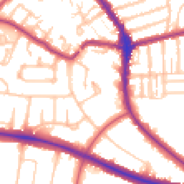
Daytime· 07:00 – 23:00
54.0dB

Night-time· 23:00 – 07:00
44.5dB