26 Friern Barnet Lane, Barnet, London, N11 3LX
About 26 Friern Barnet Lane
26 Friern Barnet Lane is a three-bedroom semi-detached house in Barnet, London, London (N11 3LX). It has a recorded floor area of 102 m² (around 1098 sq ft), construction records dating it to before 1900 and council tax band E. The latest certificate (October 2016) shows an E (score 50), well below the UK norm with real room to improve. The recommended improvements would lift it to B (score 86), a 3-band jump. Our model identifies extension potential, subject to local planning policy.
At 102 m² the property is well over the postcode median (21 m² across 28 EPCs), placing it in the larger end of the local stock. It lags the bulk of the postcode on energy efficiency (less efficient than 79% of similar EPCs). 3 planning records sit against the property, 2 approved, 1 refused. Past consents include an extension, meaningful when judging how the property has evolved. Today's modelled estimate of £721,000 is 10.9% above the 2017 sale price. On a £-per-square-foot basis, the last sale (£592/sq ft) was about 59.3% above the typical sold price in the postcode. On the market in March 2017 and unlisted since — roughly 9 years.
What this property has
Inside
- Bedrooms3
- Bathrooms1
- Dining roomYes
Outside
- Private gardenRear
Building
- RefurbishedYes
- Extension potentialPossible
Everything you need to know about 26 Friern Barnet Lane
The true value, the hidden risks and the full sale history, in one report.
30-day money-back guarantee

The data behind every report


Energy performance
26 Friern Barnet Lane's carbon output runs well above what efficient homes in the postcode produce.
EPC Rating
Planning history
Council records show a subdivision application — the property's legal arrangement has been altered.
- Jul 2017ExtensionOutlineIn report
Extension: Single storey · Rear of property
Single storey rear extension with a proposed depth of 4.5 metres from original rear wall, eaves height of 2.7 metres and maximum height of 3 metres
- Agent
- New Images Ltd
- Documents
- 6 docs on file
- Reference
- 17/3516/PNH
- Jun 2017Loft ConversionFullIn report
Extension: Single storey · Rear of property
Conversion of existing dwelling into two self-contained units. Single storey rear extension with new patio area. Roof extension involving rear dormer window, juliette balcony, 3no rooflights to front elevation to facilitate a loft conversion. Associated bicycle store and refuse and recycling store
- Agent
- New Images Ltd
ExtensionSubdivision- Documents
- 17 docs on file
- Reference
- 17/2771/FUL
We flagged 1 thing worth checking at 26 Friern Barnet Lane
Independent checks surfaced things a buyer would want to understand before offering. The report explains each one in full, with the underlying data and what to ask.
- Signs of HMO activity in the area
30-day money-back guarantee
Sales history & valuation
26 Friern Barnet Lane valuation sits well clear of the typical sold price in this postcode.
£721,000
Modelled from EPC, postcode comparables.
£650,000
Recorded with HM Land Registry.
Sales timeline
22 March 2017Most recent
£650,000
Median price across the last 5 sales in N11 3LX: £725,000 (2024–2016).
Nearby sales in N11 3LX
30 Friern Barnet Lane, Barnet, London, N11 3LX
Sold Dec 2024
£725,00032 Friern Barnet Lane, Barnet, London, N11 3LX
Sold May 2024
£725,00034 Friern Barnet Lane, Barnet, London, N11 3LX
Sold Mar 2020
£950,00018 Friern Barnet Lane, Barnet, London, N11 3LX
Sold Nov 2016
£645,00028 Friern Barnet Lane, Barnet, London, N11 3LX
Sold Apr 2015
£552,000
Versus other Friern Barnet Lane homes
On floor area, 26 Friern Barnet Lane runs well behind the street norm.
Price per m²
£6,373
Street avg £9,825
Floor Area
102 m²
Street avg 145 m²
Habitable Rooms
5 rooms
Street avg 6 rooms
CO₂ Emissions
6.1 t/year
Street avg 6.7 t/year
Everything you need to know about 26 Friern Barnet Lane
The true value, the hidden risks and the full sale history, in one report.
30-day money-back guarantee
The data behind every report
Similar properties nearby
1 Earl Close, Barnet
N11 3PY
1 Halton Close, Barnet
N11 3HQ
1 Hampton Close, Barnet
N11 3PR
1 Elm Way, Barnet
N11 3NP
1 Balmoral Avenue, Barnet
N11 3QA
1 Duchess Close, Barnet
N11 3PZ
1 Glenthorne Road, Barnet
N11 3HU
1 Highgrove Close, Barnet
N11 3PT
The neighbourhood at a glance
Reported crime in the wider district is trending notably upward year-on-year.
Crime
5/mo
Rising year-on-year across the wider district.
Nearest stop
0.2 km
Constable Close — bus stop.
Closest school
0.4 km
St John's CofE Junior Mixed and Infant School. 60 schools nearby.
Go deeper on the local area
The full report breaks down crime, transport links, schools and air quality in depth.
Road noise across the postcode
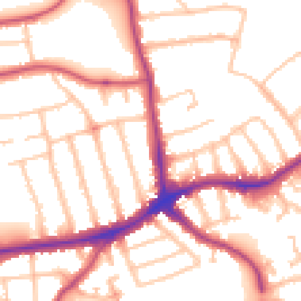
Daytime· 07:00 – 23:00
53.0dB
Night-time· 23:00 – 07:00
43.0dB