12 Park Grove, Haringey, London, N11 2QD
About 12 Park Grove
12 Park Grove is a semi-detached house in Haringey, London, London (N11 2QD). It has a recorded floor area of 84 m² (around 904 sq ft), construction records dating it to 1950-1966 and council tax band B. The latest certificate (December 2024) shows a D (score 60), on the cusp of jumping into the C band. The recommended improvements would push it to C (score 79).
Everything you need to know about 12 Park Grove
The true value, the hidden risks and the full sale history, in one report.
30-day money-back guarantee

The data behind every report


Energy performance
EPC Rating
Planning history
12 Park Grove has no planning applications on record.
Notable planning nearby
20applications of note in the surrounding area
We flagged 2 things worth checking at 12 Park Grove
Independent checks surfaced things a buyer would want to understand before offering. The report explains each one in full, with the underlying data and what to ask.
- Signs of HMO activity in the area
- Larger development activity nearby
30-day money-back guarantee
Sales history & valuation
12 Park Grove has no Land Registry sales on file, suggesting it has stayed in the same hands since registration began.
£443,000
Modelled from EPC, postcode comparables.
No sales recorded with HM Land Registry
That can mean the property has never traded since the registry began publishing in 1995, was a new build that hasn't been registered yet, or is held in the same hands long-term.
Median price across the last 2 sales in N11 2QD: £190,000 (2006–2005).
Versus other Park Grove homes
12 Park Grove outperforms the street on epc rating by a wide margin.
EPC Rating
60 (D)
Street avg 56 (D)
Floor Area
84 m²
Street avg 89 m²
CO₂ Emissions
4.1 t/year
Street avg 4.8 t/year
Habitable Rooms
5 rooms
Street avg 4 rooms
Everything you need to know about 12 Park Grove
The true value, the hidden risks and the full sale history, in one report.
30-day money-back guarantee
The data behind every report
Similar properties nearby
1 Bexhill Road, Enfield
N11 2RG
1 Maidstone Road, Haringey
N11 2TR
1 Bailey Close, Haringey
N11 2JL
1 Beech Road, Enfield
N11 2DA
1 Evesham Road, Enfield
N11 2RR
1 Herbert Road, Haringey
N11 2QN
1 Maidstone Court, Maidstone Road, Enfield
N11 2TT
1 Amethyst Close, Haringey
N11 2LW
The neighbourhood at a glance
Rail-style transport is unusually close for this postcode.
Crime
5/mo
Rising year-on-year across the wider district.
Nearest stop
0.1 km
Woodfield Way — bus stop.
Closest school
0.3 km
Bounds Green Junior School. 58 schools nearby.
Go deeper on the local area
The full report breaks down crime, transport links, schools and air quality in depth.
Road noise across the postcode
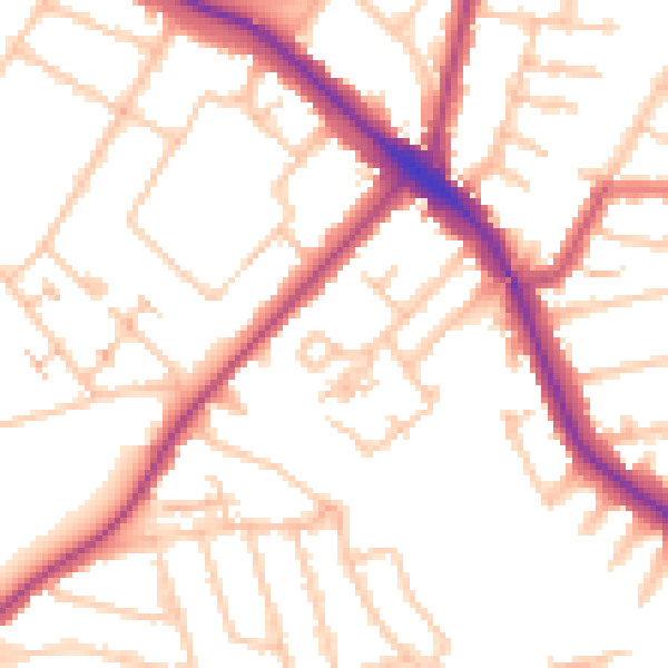
Daytime· 07:00 – 23:00
52.3dB

Night-time· 23:00 – 07:00
42.2dB