36 Durnsford Road, Haringey, London, N11 2EH
About 36 Durnsford Road
36 Durnsford Road is a semi-detached house in Haringey, London, London (N11 2EH). It has a recorded floor area of 112 m² (around 1206 sq ft), construction records dating it to 1930-1949 and council tax band E. The latest certificate (December 2017) shows a D (score 65), on the cusp of jumping into the C band. The recommended improvements would lift it to B (score 84), a 2-band jump.
One planning record on file: HMO conversion approved in 2020. Past consents include HMO conversion, meaningful when judging how the property has evolved. At 112 m² it's 17.9% larger than the typical home in the postcode (95 m² median across 12 EPCs). Across 1995–2022, sale prices on this property compounded at 8.1% per year. Today's modelled estimate of £826,000 is 18% above the 2022 sale price. On a £-per-square-foot basis, the last sale (£581/sq ft) was about 108.3% above the typical sold price in the postcode. Sold January 2022 for £700,000. That sale was during the post-pandemic price surge, when transactions cleared materially above pre-2020 trend.
Everything you need to know about 36 Durnsford Road
The true value, the hidden risks and the full sale history, in one report.
30-day money-back guarantee

The data behind every report


Energy performance
Recommended upgrades on file would lift this property by multiple EPC bands.
EPC Rating
Planning history
- Jan 2020HMOAmendmentIn report
Certificate of lawfulness for the conversion of a single family dwelling to a small HMO (3-6 people)
- Documents
- 27 docs on file
- Reference
- HGY/2019/3325
We flagged 2 things worth checking at 36 Durnsford Road
Independent checks surfaced things a buyer would want to understand before offering. The report explains each one in full, with the underlying data and what to ask.
- Signs of HMO activity in the area
- Larger development activity nearby
30-day money-back guarantee
Sales history & valuation
Latest sale on 36 Durnsford Road was the highest on Land Registry record across the postcode.
£826,000
Modelled from EPC, postcode comparables and a sale-price growth of 8.1% per year over 26 years.
£700,000
Growth on file: 8.1% per year over 26 years.
Sales timeline
11 January 2022Most recent
£700,000
+677.8%over 26 years20 August 1995
£90,000
Median price across the last 5 sales in N11 2EH: £447,000 (2023–2006).
Nearby sales in N11 2EH
34 Durnsford Road, Haringey, London, N11 2EH
Sold Nov 2023
£690,00028 Durnsford Road, Haringey, London, N11 2EH
Sold Sept 2021
£692,25032 Durnsford Road, Haringey, London, N11 2EH
Sold Sept 2012
£447,00026 Durnsford Road, Haringey, London, N11 2EH
Sold Nov 2009
£325,0004 Durnsford Road, Haringey, London, N11 2EH
Sold Aug 2004
£292,500
Versus other Durnsford Road homes
36 Durnsford Road outperforms the street on epc rating by a wide margin.
Price per m²
£6,250
Street avg £4,616
Floor Area
112 m²
Street avg 105 m²
Habitable Rooms
7 rooms
Street avg 5 rooms
CO₂ Emissions
4.3 t/year
Street avg 5.6 t/year
Everything you need to know about 36 Durnsford Road
The true value, the hidden risks and the full sale history, in one report.
30-day money-back guarantee
The data behind every report
Similar properties nearby
1 Hastings Road, Enfield
N11 2RJ
1 Lancaster Road, Enfield
N11 2TB
1 Bosworth Road, Enfield
N11 2SY
1 Ollerton Road, Enfield
N11 2JY
1 Lower Maidstone Road, Enfield
N11 2RU
1 Passmore Gardens, Haringey
N11 2PE
1 Edith Road, Haringey
N11 2QW
1 Fletton Road, Haringey
N11 2QL
The neighbourhood at a glance
Rail-style transport is unusually close for this postcode.
Crime
5/mo
Rising year-on-year across the wider district.
Nearest stop
0.1 km
Woodfield Way — bus stop.
Closest school
0.1 km
Bounds Green Junior School. 59 schools nearby.
Go deeper on the local area
The full report breaks down crime, transport links, schools and air quality in depth.
Road noise across the postcode
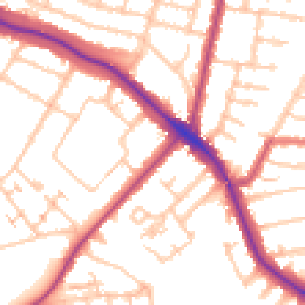
Daytime· 07:00 – 23:00
53.1dB

Night-time· 23:00 – 07:00
43.0dB