32 Durnsford Road, Haringey, London, N11 2EH
About 32 Durnsford Road
32 Durnsford Road is a three-bedroom semi-detached house in Haringey, London, London (N11 2EH). It has a recorded floor area of 96 m² (around 1033 sq ft), construction records dating it to 1900-1929 and council tax band E. The latest certificate (September 2013) shows a D (score 64), on the cusp of jumping into the C band. The rating has held steady at D across 3 certificates since April 2012. The recommended improvements would lift it to B (score 87), a 2-band jump. The latest certificate is from September 2013, so improvements made since then won't be reflected.
Across 2006–2012, sale prices on this property compounded at 7.7% per year. Today's modelled estimate of £698,000 sits 56.2% above the 2012 sale of £447,000. On a £-per-square-foot basis, the last sale (£433/sq ft) was about 75.6% above the typical sold price in the postcode. Last sold in September 2012, so it's been off the market for around 14 years. 2 planning records sit against the property, 0 approved, 1 refused.
What this property has
Inside
- Bedrooms3
- Dining roomYes
Everything you need to know about 32 Durnsford Road
The true value, the hidden risks and the full sale history, in one report.
30-day money-back guarantee

The data behind every report


Energy performance
Recommended upgrades on file would lift this property by multiple EPC bands.
EPC Expired
This certificate is over 10 years old and is no longer valid.Expired 12 Sept 2023
EPC Rating
Planning history
32 Durnsford Road has been extended on multiple sides of the property across separate planning applications.
- Jul 2017ExtensionOutlineIn report
Extension: Single storey · Rear of property
Erection of single storey extension which extends beyond the rear wall of the original house by 4.25m, for which the maximum height would be 3m and for which the height of the eaves would be 3m
- Documents
- 11 docs on file
- Reference
- HGY/2017/1703
- Oct 2016ExtensionFullIn report
Extension: Side and rear of property
Single storey side and rear extension
- Documents
- 6 docs on file
- Reference
- HGY/2016/3254
We flagged 2 things worth checking at 32 Durnsford Road
Independent checks surfaced things a buyer would want to understand before offering. The report explains each one in full, with the underlying data and what to ask.
- Signs of HMO activity in the area
- Larger development activity nearby
30-day money-back guarantee
Sales history & valuation
32 Durnsford Road valuation sits well clear of the typical sold price in this postcode.
£698,000
Modelled from EPC, postcode comparables and a sale-price growth of 7.7% per year over 6 years.
£447,000
Growth on file: 7.7% per year over 6 years.
Sales timeline
23 September 2012Most recent
£447,000
+55.2%over 5 years8 October 2006
£288,000
Median price across the last 5 sales in N11 2EH: £690,000 (2023–2004).
Nearby sales in N11 2EH
34 Durnsford Road, Haringey, London, N11 2EH
Sold Nov 2023
£690,00036 Durnsford Road, Haringey, London, N11 2EH
Sold Jan 2022
£700,00028 Durnsford Road, Haringey, London, N11 2EH
Sold Sept 2021
£692,25026 Durnsford Road, Haringey, London, N11 2EH
Sold Nov 2009
£325,0004 Durnsford Road, Haringey, London, N11 2EH
Sold Aug 2004
£292,500
Versus other Durnsford Road homes
32 Durnsford Road outperforms the street on co₂ emissions by a wide margin.
Price per m²
£4,656
Street avg £4,935
Floor Area
96 m²
Street avg 107 m²
Habitable Rooms
5 rooms
Street avg 6 rooms
CO₂ Emissions
3.9 t/year
Street avg 5.6 t/year
Everything you need to know about 32 Durnsford Road
The true value, the hidden risks and the full sale history, in one report.
30-day money-back guarantee
The data behind every report
Similar properties nearby
1 Lower Maidstone Road, Enfield
N11 2RU
1 Bosworth Road, Enfield
N11 2SY
1 Herbert Road, Haringey
N11 2QN
1 Hastings Road, Enfield
N11 2RJ
1 Bexhill Road, Enfield
N11 2RG
1 Fletton Road, Haringey
N11 2QL
1 Eleanor Road, Haringey
N11 2QS
1 Evesham Road, Enfield
N11 2RR
The neighbourhood at a glance
Rail-style transport is unusually close for this postcode.
Crime
5/mo
Rising year-on-year across the wider district.
Nearest stop
0.1 km
Woodfield Way — bus stop.
Closest school
0.1 km
Bounds Green Junior School. 59 schools nearby.
Go deeper on the local area
The full report breaks down crime, transport links, schools and air quality in depth.
Road noise across the postcode
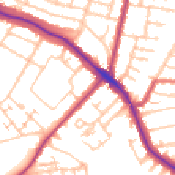
Daytime· 07:00 – 23:00
53.1dB

Night-time· 23:00 – 07:00
43.0dB