19 Eastdale Close, Kempston, Bedford, MK42 8LY
About 19 Eastdale Close
19 Eastdale Close is a semi-detached house in Kempston, Bedford, Bedford (MK42 8LY). It has a recorded floor area of 70 m² (around 753 sq ft), construction records dating it to 1967-1975 and council tax band C. The latest certificate (September 2025) shows a C (score 72). When first surveyed in December 2013 the rating was D, the property has climbed 1 band since. Between certificates, hot-water efficiency went from Average to Good and lighting went from Poor to Average; while window efficiency dropped from Average to Poor.
Untraded for 31 years, with the last transfer in March 1995. Only one transfer is on record with HM Land Registry, suggesting it has stayed in the same hands for a long time. Today's modelled estimate of £254,000 sits 497.6% above the 1995 sale of £42,500. On a £-per-square-foot basis, the last sale (£56/sq ft) was about 65.8% below the postcode norm.
Know exactly what you're buying at 19 Eastdale Close
Before you offer, see what the listing won't tell you, the true value, the red flags and the full history.
Valuation
against the asking price
Risks
planning & flood
Sold prices
similar homes nearby
Trends
the local market
Energy performance
EPC Rating
Property Improvements
Changes detected from historical EPC data
Hot water efficiency improved
More low energy lighting installed
More low energy lighting installed
Planning history
19 Eastdale Close has no planning applications on record.
Notable planning nearby
2applications of note in the surrounding area
Sales history & valuation
19 Eastdale Close's modelled value sits at over four times its earliest registered sale price (1995).
£254,000
Modelled from EPC, postcode comparables.
£42,500
Recorded with HM Land Registry.
Sales timeline
26 March 1995Most recent
£42,500
Median price across the last 5 sales in MK42 8LY: £223,000 (2024–2019).
Nearby sales in MK42 8LY
75 Eastdale Close, Kempston, Bedford, MK42 8LY
Sold Nov 2024
£228,00069 Eastdale Close, Kempston, Bedford, MK42 8LY
Sold Jun 2023
£223,00093 Eastdale Close, Kempston, Bedford, MK42 8LY
Sold Sept 2021
£195,00065 Eastdale Close, Kempston, Bedford, MK42 8LY
Sold Nov 2020
£185,00015 Eastdale Close, Kempston, Bedford, MK42 8LY
Sold Jun 2019
£229,000
Everything we know about 19 Eastdale Close, in one report
What it's really worth, what could be wrong, and the planning, sales and area data in full.
- Am I paying too much?
- Is something wrong with it?
- Is the agent's story true?
- Will it hold its value?

Versus other Eastdale Close homes
On years held, 19 Eastdale Close stands well clear of the street.
Price per m²
£607
Street avg £2,032
Floor Area
70 m²
Street avg 64 m²
Habitable Rooms
4 rooms
Street avg 4 rooms
CO₂ Emissions
2.2 t/year
Street avg 2.4 t/year
Similar properties nearby
1 Austin Canons, Kempston
MK42 8AS
1 Cleveland Street, Kempston
MK42 8DW
1 Farrer Street, Kempston
MK42 8JH
1 Eastdale Close, Kempston
MK42 8LY
1 Fearnley Crescent, Kempston
MK42 8NL
1 Beatrice Street, Kempston
MK42 8AF
1 Egglestone Close, Kempston
MK42 8QE
1 Bedford Road, Kempston
MK42 8AB
The neighbourhood at a glance
Crime
6/mo
Steady year-on-year across the wider district.
Nearest stop
0.3 km
Technology House — bus stop.
Closest school
0.4 km
Camestone School. 24 schools nearby.
Go deeper on the local area
The full report breaks down crime, transport links, schools and air quality in depth.
Road noise across the postcode
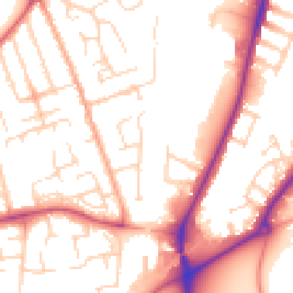
Daytime· 07:00 – 23:00
53.6dB

Night-time· 23:00 – 07:00
44.2dB