10 Cranesbill Place, Conniburrow, Milton Keynes, MK14 7BL
About 10 Cranesbill Place
10 Cranesbill Place is a mid-terrace house in Conniburrow, Milton Keynes, Milton Keynes (MK14 7BL). It has a recorded floor area of 94 m² (around 1012 sq ft), construction records dating it to 1976-1982 and council tax band B. The latest certificate (February 2026) shows a C (score 77), near the top of the C band. The recommended improvements would push it to B (score 81). This certificate was lodged in the last six months, so the rating reflects current condition.
It hasn't traded since September 1997, a hold of 29 years that's notably long for the area. Only one transfer is on record with HM Land Registry, suggesting it has stayed in the same hands for a long time. On a £-per-square-foot basis, the last sale (£42/sq ft) was about 70% below the postcode norm.
Know exactly what you're buying at 10 Cranesbill Place
Before you offer, see what the listing won't tell you, the true value, the red flags and the full history.
Already flagged here
Valuation
against the asking price
Risks
planning & flood
Sold prices
similar homes nearby
Trends
the local market
Energy performance
The EPC has just been inspected, so the rating reflects current condition.
EPC Rating
Planning history
10 Cranesbill Place has no planning applications on record.
Notable planning nearby
12applications of note in the surrounding area
We flagged 1 thing worth checking at 10 Cranesbill Place
Independent checks surfaced things a buyer would want to understand before offering. The report explains each one in full, with the underlying data and what to ask.
- Signs of HMO activity in the area
30-day money-back guarantee
Sales history & valuation
10 Cranesbill Place has been held in the same hands since before 2000.
£42,000
Recorded with HM Land Registry.
Sales timeline
11 September 1997Most recent
£42,000
Median price across the last 5 sales in MK14 7BL: £200,000 (2022–2013).
Nearby sales in MK14 7BL
12 Cranesbill Place, Conniburrow, Milton Keynes, MK14 7BL
Sold Feb 2022
£250,0006 Cranesbill Place, Conniburrow, Milton Keynes, MK14 7BL
Sold Jul 2020
£262,00026 Cranesbill Place, Conniburrow, Milton Keynes, MK14 7BL
Sold Mar 2016
£200,0002 Cranesbill Place, Conniburrow, Milton Keynes, MK14 7BL
Sold Oct 2013
£147,50014 Cranesbill Place, Conniburrow, Milton Keynes, MK14 7BL
Sold Sept 2009
£135,000
Everything we know about 10 Cranesbill Place, in one report
What it's really worth, what could be wrong, and the planning, sales and area data in full.
What we flagged
- Signs of HMO activity in the area

Versus other Cranesbill Place homes
Price per m² for 10 Cranesbill Place lags the street by a wide margin.
Price per m²
£447
Street avg £1,958
Floor Area
94 m²
Street avg 99 m²
Habitable Rooms
4 rooms
Street avg 4 rooms
CO₂ Emissions
2.2 t/year
Street avg 3.4 t/year
Similar properties nearby
1 Bryony Place, Conniburrow
MK14 7AR
1 Byerly House, Byerly Place, Downs Barn
MK14 7LY
1 Byerly Place, Downs Barn
MK14 7LX
1 Carlina Place, Conniburrow
MK14 7DD
1 Clydesdale Place, Downs Barn
MK14 7LE
1 Coltsfoot Court, Flat 1, Coltsfoot Place, Conniburrow
MK14 7ES
1 Coltsfoot Court, Flat 2, Coltsfoot Place, Conniburrow
MK14 7ES
1 Coltsfoot Court, Flat 3, Coltsfoot Place, Conniburrow
MK14 7ES
The neighbourhood at a glance
Crime
5/mo
Steady year-on-year across the wider district.
Nearest stop
0.1 km
Mallow Gate — bus stop.
Closest school
0.1 km
Germander Park School. 30 schools nearby.
Go deeper on the local area
The full report breaks down crime, transport links, schools and air quality in depth.
Road noise across the postcode
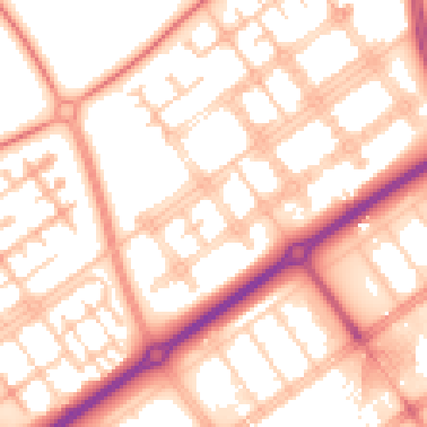
Daytime· 07:00 – 23:00
55.3dB

Night-time· 23:00 – 07:00
43.5dB