1 Bryony Place, Conniburrow, Milton Keynes, MK14 7AR
About 1 Bryony Place
1 Bryony Place is a property in Conniburrow, Milton Keynes, Milton Keynes (MK14 7AR). It has council tax band B.
Energy performance
No EPC on record
This property doesn't have an Energy Performance Certificate yet. An EPC is required to sell or let — and unlocks our automated valuation.
Planning history
No planning applications are recorded against 1 Bryony Place, Conniburrow, Milton Keynes, MK14 7AR. The full report also covers planning activity across the surrounding area.
Sales history & valuation
No sales recorded with HM Land Registry
That can mean the property has never traded since the registry began publishing in 1995, was a new build that hasn't been registered yet, or is held in the same hands long-term.
Median price across the last 5 sales in MK14 7AR: £140,500 (2015–2002).
Nearby sales in MK14 7AR
Similar properties nearby
1 Byerly House, Byerly Place, Downs Barn
MK14 7LY
1 Byerly Place, Downs Barn
MK14 7LX
1 Carlina Place, Conniburrow
MK14 7DD
1 Clydesdale Place, Downs Barn
MK14 7LE
1 Coltsfoot Court, Flat 1, Coltsfoot Place, Conniburrow
MK14 7ES
1 Coltsfoot Court, Flat 2, Coltsfoot Place, Conniburrow
MK14 7ES
1 Coltsfoot Court, Flat 3, Coltsfoot Place, Conniburrow
MK14 7ES
1 Coltsfoot Court, Flat 4, Coltsfoot Place, Conniburrow
MK14 7ES
The neighbourhood at a glance
Crime
5/mo
Steady year-on-year across the wider district.
Nearest stop
0.1 km
Conniburrow Boulevard — bus stop.
Closest school
0.1 km
Southwood School. 27 schools nearby.
Road noise across the postcode
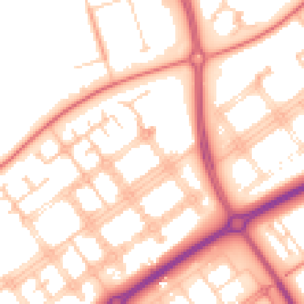
Daytime· 07:00 – 23:00
54.3dB

Night-time· 23:00 – 07:00
43.4dB