34 High Street, Brompton, Gillingham, ME7 5AQ
About 34 High Street
34 High Street is a semi-detached house in Brompton, Gillingham, Gillingham (ME7 5AQ). It has a recorded floor area of 78 m² (around 840 sq ft), construction records dating it to 1983-1990 and council tax band B. The latest certificate (December 2016) shows a D (score 59), a step below the typical UK home. The recommended improvements would push it to C (score 76). Main heating runs on electricity.
Everything you need to know about 34 High Street
The true value, the hidden risks and the full sale history, in one report.
30-day money-back guarantee

The data behind every report


Energy performance
EPC Rating
Get a survey for this property
Level 3 Building Survey
Because the property has no mains gas supply, we believe a Level 3 building survey should be considered.
From £820 · Includes VAT
Planning history
34 High Street has no planning applications on record.
Notable planning nearby
48applications of note in the surrounding area
We flagged 2 things worth checking at 34 High Street
Independent checks surfaced things a buyer would want to understand before offering. The report explains each one in full, with the underlying data and what to ask.
- Signs of HMO activity in the area
- Larger development activity nearby
30-day money-back guarantee
Sales history & valuation
34 High Street has no Land Registry sales on file, suggesting it has stayed in the same hands since registration began.
£172,000
Modelled from EPC, postcode comparables.
No sales recorded with HM Land Registry
That can mean the property has never traded since the registry began publishing in 1995, was a new build that hasn't been registered yet, or is held in the same hands long-term.
Median price across the last 5 sales in ME7 5AQ: £160,000 (2017–2007).
Everything you need to know about 34 High Street
The true value, the hidden risks and the full sale history, in one report.
30-day money-back guarantee
The data behind every report
Similar properties nearby
1 Estuary Reach, Pleasant Row
ME7 5QX
1 Charlton Manor, Britton Street
ME7 5EY
1 Andrew Manor, Britton Street
ME7 5HA
1 Albert Manor, Britton Street
ME7 5EU
1 Dawes Street
ME7 5UQ
1 Barfleur Manor, Middle Street
ME7 5RW
1 Boleyn Court, Manor Street
ME7 5AT
1 Alton Mews, Canterbury Street
ME7 5XW
The neighbourhood at a glance
Reported crime in the wider district is trending notably upward year-on-year.
Crime
10/mo
Rising year-on-year across the wider district.
Nearest stop
0.1 km
High Street — bus stop.
Closest school
0.8 km
Brompton-Westbrook Primary School. 42 schools nearby.
Go deeper on the local area
The full report breaks down crime, transport links, schools and air quality in depth.
Road noise across the postcode
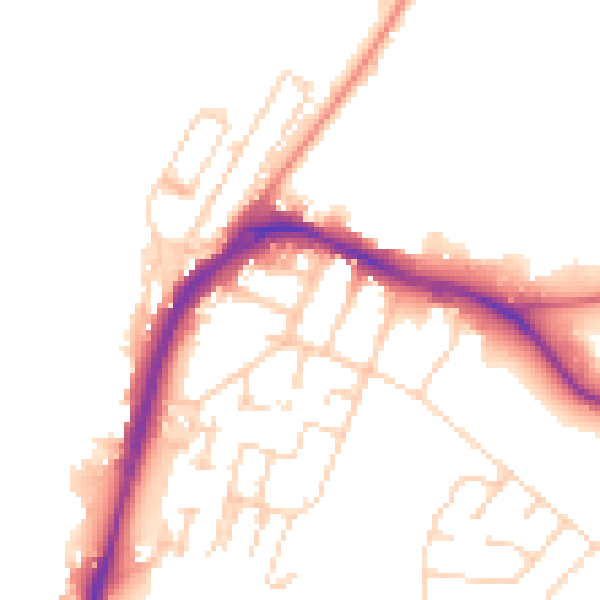
Daytime· 07:00 – 23:00
49.7dB

Night-time· 23:00 – 07:00
40.6dB