The Birches, Dunn Street, Bredhurst, Gillingham, ME7 3NA
About The Birches
The Birches is a detached house in Bredhurst, Gillingham, Gillingham (ME7 3NA). It has a recorded floor area of 148 m² (around 1593 sq ft), construction records dating it to 1983-1990 and council tax band G. The latest certificate (December 2015) shows an E (score 48), well below the UK norm with real room to improve. The recommended improvements would lift it to C (score 77), a 2-band jump. Main heating runs on oil. The latest certificate is from December 2015, so improvements made since then won't be reflected.
Today's modelled estimate of £698,000 sits 63.3% above the 2016 sale of £427,500. Last sold in April 2016, so it's been off the market for around 10 years. One historical planning record sits against the property in 2025.
Everything you need to know about The Birches
The true value, the hidden risks and the full sale history, in one report.
30-day money-back guarantee

The data behind every report


Energy performance
The Birches's carbon output runs well above what efficient homes in the postcode produce.
EPC Expired
This certificate is over 10 years old and is no longer valid.Expired 07 Dec 2025
EPC Rating
Get a survey for this property
Level 3 Building Survey
Because the property has no mains gas supply, we believe a Level 3 building survey should be considered.
From £1,155 · Includes VAT
Planning history
- May 2025OutbuildingOutlineIn report
Lawful Development Certificate for proposed erection of a garden room.
- Documents
- 8 docs on file
- Reference
- 25/501269/LAWPRO
We flagged 1 thing worth checking at The Birches
Independent checks surfaced things a buyer would want to understand before offering. The report explains each one in full, with the underlying data and what to ask.
- Larger development activity nearby
30-day money-back guarantee
Sales history & valuation
£698,000
Modelled from EPC, postcode comparables.
£427,500
Recorded with HM Land Registry.
Sales timeline
28 April 2016Most recent
£427,500
Median price across the last 5 sales in ME7 3NA: £580,000 (2024–2006).
Versus other Dunn Street homes
The Birches outperforms the street on habitable rooms by a wide margin.
Price per m²
£2,889
Street avg £3,592
Floor Area
148 m²
Street avg 124 m²
Habitable Rooms
6 rooms
Street avg 5 rooms
CO₂ Emissions
8.3 t/year
Street avg 5.7 t/year
Everything you need to know about The Birches
The true value, the hidden risks and the full sale history, in one report.
30-day money-back guarantee
The data behind every report
Similar properties nearby
1 Copperpenny Drive, Hempstead
ME7 3DT
1 Clermont Close, Hempstead
ME7 3TQ
1 Brickmakers Way, Hempstead
ME7 3BF
1 Darland Farm Yard, Pear Tree Lane
ME7 3PP
1 Blowers Wood Grove, Hempstead
ME7 3RD
1 Fir Tree Grove, Bredhurst
ME7 3LB
1 Barncroft Drive, Hempstead
ME7 3TJ
1 Blind Lane, Bredhurst
ME7 3JR
The neighbourhood at a glance
Reported crime in the wider district is trending notably upward year-on-year.
Crime
10/mo
Rising year-on-year across the wider district.
Nearest stop
0.7 km
Primary School — bus stop.
Closest school
0.7 km
Bredhurst Church of England Voluntary Controlled Primary School. 9 schools nearby.
Go deeper on the local area
The full report breaks down crime, transport links, schools and air quality in depth.
Road noise across the postcode
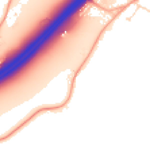
Daytime· 07:00 – 23:00
54.0dB

Night-time· 23:00 – 07:00
47.5dB