107c, Richmond Road, Gillingham, ME7 1LX
About 107c
107c is a semi-detached house in Gillingham (ME7 1LX). It has a recorded floor area of 80 m² (around 861 sq ft). The latest certificate (January 2016) returns a B (score 84), comfortably above the UK average. The recommended improvements would push it to A (score 96). The latest certificate is from January 2016, so improvements made since then won't be reflected.
At 80 m² it's 29% larger than the typical home in the postcode (62 m² median across 49 EPCs). On energy efficiency it sits in the top 10% of properties in this postcode.
Everything you need to know about 107c
The true value, the hidden risks and the full sale history, in one report.
30-day money-back guarantee

The data behind every report


Energy performance
107c ranks among the most efficient homes in the postcode for energy use.
EPC Expired
This certificate is over 10 years old and is no longer valid.Expired 07 Jan 2026
EPC Rating
Get a survey for this property
Level 2 HomeBuyer Report
We've checked 10 risk factors against the available data for this property and believe a Level 2 HomeBuyer Report could be a suitable option for you.
From £495 · Includes VAT
Planning history
107c has no planning applications on record.
Notable planning nearby
39applications of note in the surrounding area
We flagged 2 things worth checking at 107c
Independent checks surfaced things a buyer would want to understand before offering. The report explains each one in full, with the underlying data and what to ask.
- Signs of HMO activity in the area
- Larger development activity nearby
30-day money-back guarantee
Sales history & valuation
107c has no Land Registry sales on file, suggesting it has stayed in the same hands since registration began.
£193,000
Modelled from EPC, postcode comparables.
No sales recorded with HM Land Registry
That can mean the property has never traded since the registry began publishing in 1995, was a new build that hasn't been registered yet, or is held in the same hands long-term.
Median price across the last 5 sales in ME7 1LX: £257,500 (2025–2021).
Nearby sales in ME7 1LX
Versus other Richmond Road homes
EPC Rating for 107c runs comfortably ahead of the street norm.
EPC Rating
84 (B)
Street avg 61 (D)
Floor Area
80 m²
Street avg 89 m²
CO₂ Emissions
1.2 t/year
Street avg 3.9 t/year
Everything you need to know about 107c
The true value, the hidden risks and the full sale history, in one report.
30-day money-back guarantee
The data behind every report
Similar properties nearby
The neighbourhood at a glance
Rail-style transport is unusually close for this postcode.
Crime
10/mo
Rising year-on-year across the wider district.
Nearest stop
0.0 km
Nasir Mosque — bus stop.
Closest school
0.1 km
Burnt Oak Primary School. 26 schools nearby.
Go deeper on the local area
The full report breaks down crime, transport links, schools and air quality in depth.
Road noise across the postcode
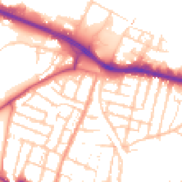
Daytime· 07:00 – 23:00
53.0dB

Night-time· 23:00 – 07:00
43.2dB