6 Aspinall Close, Worsley, Manchester, M28 0JP
About 6 Aspinall Close
6 Aspinall Close is a mid-terrace house in Worsley, Manchester, Manchester (M28 0JP). It has a recorded floor area of 83 m² (around 893 sq ft), construction records dating it to 1950-1966 and council tax band A. The latest certificate (September 2024) shows a C (score 73). When first surveyed in February 2011 the rating was D, the property has climbed 1 band since. Between certificates, roof efficiency went from Average to Good, hot-water efficiency went from Poor to Good and lighting went from Good to Very Good; while wall efficiency dropped from Good to Average. The recommended improvements would push it to B (score 86).
Everything you need to know about 6 Aspinall Close
The true value, the hidden risks and the full sale history, in one report.
Pick your report · every report is £14.99
One time fee only - money back guarantee

The data behind every report


Energy performance
EPC Rating
Property Improvements
Changes detected from historical EPC data
Heating controls upgraded for better temperature management
Hot water system upgraded
Roof insulation improved
More low energy lighting installed
Cavity wall insulation installed
Loft insulation upgraded to recommended levels
Get a survey for this property
Level 3 Building Survey
Because the property has been extended more than once, we believe a Level 3 building survey should be considered.
From £820 · Includes VAT
Planning history
6 Aspinall Close has no planning applications on record.
But the area is active
5 notable applications nearby — larger schemes and conversions that could reshape the street. The report maps them all.
Sales history & valuation
6 Aspinall Close has no Land Registry sales on file, suggesting it has stayed in the same hands since registration began.
£156,000
Modelled from EPC, postcode comparables.
No sales recorded with HM Land Registry
That can mean the property has never traded since the registry began publishing in 1995, was a new build that hasn't been registered yet, or is held in the same hands long-term.
Median price across the last 4 sales in M28 0JP: £57,375 (2014–2005).
Versus other Aspinall Close homes
On floor area, 6 Aspinall Close stands well clear of the street.
EPC Rating
73 (C)
Street avg 69 (C)
Floor Area
83 m²
Street avg 66 m²
CO₂ Emissions
2.7 t/year
Street avg 2.5 t/year
Habitable Rooms
5 rooms
Street avg 4 rooms
Everything you need to know about 6 Aspinall Close
The true value, the hidden risks and the full sale history, in one report.
Pick your report · every report is £14.99
One time fee only - money back guarantee
The data behind every report
Similar properties nearby
1 Aspinall Close, Worsley
M28 0JP
1 Fleetwood Road, Worsley
M28 0HB
1 Aspinall Grove, Worsley
M28 0LD
1 Gibson Grove, Worsley
M28 0BH
1 Bickershaw Drive, Worsley
M28 0GG
1 Fairhurst Drive, Worsley
M28 0JJ
1 Cartleach Lane, Worsley
M28 0JD
1 Harrop Street, Worsley
M28 0NQ
The neighbourhood at a glance
Daytime road noise here sits well below conversation level — a quiet pocket of the postcode.
Nearest stop
0.0 km
Aspinall Crescent — bus stop.
Closest school
0.3 km
Peel Hall Primary School. 31 schools nearby.
Go deeper on the local area
A Local Area report breaks down crime, transport links, schools and air quality in depth.
Road noise across the postcode
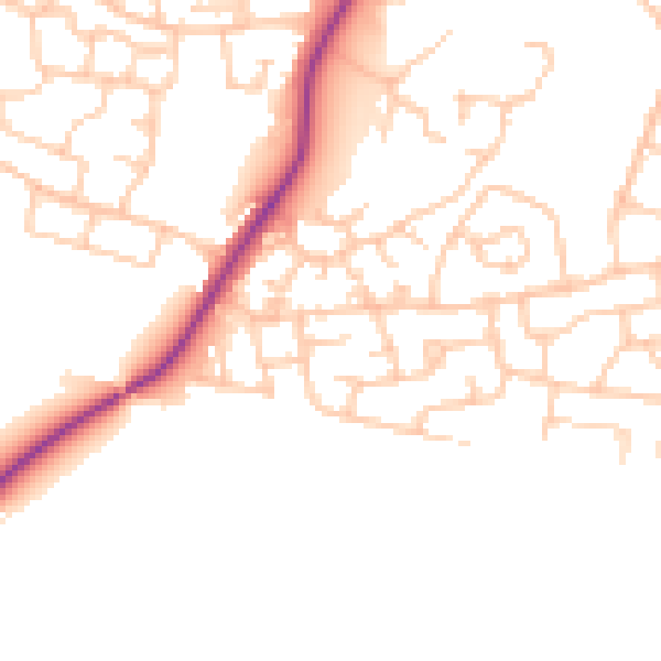
Daytime· 07:00 – 23:00
49.1dB

Night-time· 23:00 – 07:00
40.4dB