2 Carrfield Grove, Worsley, Manchester, M28 0DW
About 2 Carrfield Grove
2 Carrfield Grove is an end-of-terrace house in Worsley, Manchester, Manchester (M28 0DW). It has a recorded floor area of 49 m² (around 527 sq ft), construction records dating it to 1950-1966 and council tax band A. The latest certificate (May 2023) returns an A (score 94), the top energy band on the EPC scale. When first surveyed in March 2010 the rating was C, the property has climbed 2 bands since. Between certificates, roof efficiency went from Good to Very Good; while wall efficiency dropped from Good to Average and hot-water efficiency dropped from Very Good to Good.
At 49 m² it sits well below the postcode median (82 m² across 7 EPCs), making it one of the more compact homes locally. Its energy rating outperforms most of the postcode (better than 86% of similar EPCs).
Everything you need to know about 2 Carrfield Grove
The true value, the hidden risks and the full sale history, in one report.
Pick your report · every report is £14.99
One time fee only - money back guarantee

The data behind every report


Energy performance
2 Carrfield Grove's carbon output is low for the local stock.
EPC Rating
Property Improvements
Changes detected from historical EPC data
Hot water efficiency decreased
Roof insulation improved
Get a survey for this property
Level 2 HomeBuyer Report
We've checked 10 risk factors against the available data for this property and believe a Level 2 HomeBuyer Report could be a suitable option for you.
From £495 · Includes VAT
Planning history
2 Carrfield Grove has no planning applications on record.
But the area is active
5 notable applications nearby — larger schemes and conversions that could reshape the street. The report maps them all.
Sales history & valuation
2 Carrfield Grove has no Land Registry sales on file, suggesting it has stayed in the same hands since registration began.
£143,000
Modelled from EPC, postcode comparables.
No sales recorded with HM Land Registry
That can mean the property has never traded since the registry began publishing in 1995, was a new build that hasn't been registered yet, or is held in the same hands long-term.
Median price across the last 2 sales in M28 0DW: £146,500 (2023–2022).
Nearby sales in M28 0DW
Versus other Carrfield Grove homes
On epc rating, 2 Carrfield Grove stands well clear of the street.
EPC Rating
94 (A)
Street avg 72 (C)
Floor Area
49 m²
Street avg 68 m²
CO₂ Emissions
0.7 t/year
Street avg 2.4 t/year
Habitable Rooms
2 rooms
Street avg 4 rooms
Everything you need to know about 2 Carrfield Grove
The true value, the hidden risks and the full sale history, in one report.
Pick your report · every report is £14.99
One time fee only - money back guarantee
The data behind every report
Similar properties nearby
1 Bickershaw Drive, Worsley
M28 0GG
1 Harrop Street, Worsley
M28 0NQ
1 Aspinall Close, Worsley
M28 0JP
1 Fleetwood Road, Worsley
M28 0HB
1 Aspinall Grove, Worsley
M28 0LD
1 Gibson Grove, Worsley
M28 0BH
1 Fairhurst Drive, Worsley
M28 0JJ
1 Cartleach Lane, Worsley
M28 0JD
The neighbourhood at a glance
Daytime road noise here sits well below conversation level — a quiet pocket of the postcode.
Nearest stop
0.1 km
Parkway — bus stop.
Closest school
0.6 km
Peel Hall Primary School. 31 schools nearby.
Go deeper on the local area
A Local Area report breaks down crime, transport links, schools and air quality in depth.
Road noise across the postcode
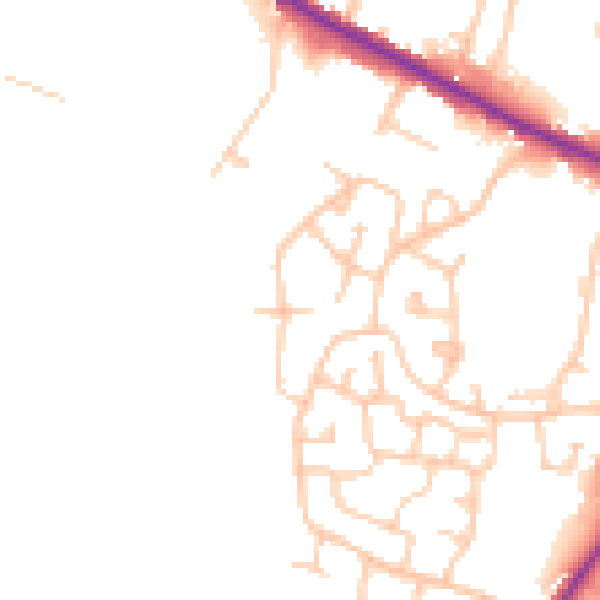
Daytime· 07:00 – 23:00
48.8dB

Night-time· 23:00 – 07:00
41.6dB