13 Furness Road, Middleton, Manchester, M24 6FQ
About 13 Furness Road
13 Furness Road is a two-bedroom end-of-terrace house in Middleton, Manchester, Manchester (M24 6FQ). It has a recorded floor area of 67 m² (around 721 sq ft), construction records dating it to 1950-1966 and council tax band A. The latest certificate (October 2017) shows a C (score 72). The recommended improvements would push it to B (score 87).
Today's modelled estimate of £162,000 sits 86.2% above the 2018 sale of £87,000. Its energy rating outperforms most of the postcode (better than 77% of similar EPCs). On the market in January 2018 and unlisted since — roughly 8 years.
What this property has
Inside
- Bedrooms2
- Bathrooms1
- Open-plan layoutYes
- Dining roomYes
Outside
- Private gardenFront and rear
Building
- Heating systemGas
- RefurbishedYes
Everything you need to know about 13 Furness Road
The true value, the hidden risks and the full sale history, in one report.
Pick your report · every report is £14.99
One time fee only - money back guarantee

The data behind every report


Energy performance
EPC Rating
Get a survey for this property
Level 2 HomeBuyer Report
We've checked 10 risk factors against the available data for this property and believe a Level 2 HomeBuyer Report could be a suitable option for you.
From £495 · Includes VAT
Planning history
13 Furness Road has no planning applications on record.
But the area is active
3 notable applications nearby — larger schemes and conversions that could reshape the street. The report maps them all.
Sales history & valuation
13 Furness Road valuation sits well clear of the typical sold price in this postcode.
£162,000
Modelled from EPC, postcode comparables.
£87,000
Recorded with HM Land Registry.
Sales timeline
11 January 2018Most recent
£87,000
Median price across the last 5 sales in M24 6FQ: £109,000 (2022–2016).
Nearby sales in M24 6FQ
21 Furness Road, Middleton, Manchester, M24 6FQ
Sold Nov 2022
£120,0001 Furness Road, Middleton, Manchester, M24 6FQ
Sold Nov 2021
£200,00017 Furness Road, Middleton, Manchester, M24 6FQ
Sold Dec 2020
£87,50035 Furness Road, Middleton, Manchester, M24 6FQ
Sold Oct 2015
£76,50029 Furness Road, Middleton, Manchester, M24 6FQ
Sold Feb 2014
£87,950
Versus other Furness Road homes
CO₂ Emissions for 13 Furness Road runs comfortably ahead of the street norm.
Price per m²
£1,299
Street avg £1,322
Floor Area
67 m²
Street avg 70 m²
Habitable Rooms
4 rooms
Street avg 4 rooms
CO₂ Emissions
2.4 t/year
Street avg 3.3 t/year
Everything you need to know about 13 Furness Road
The true value, the hidden risks and the full sale history, in one report.
Pick your report · every report is £14.99
One time fee only - money back guarantee
The data behind every report
Similar properties nearby
1 New Lane, Middleton
M24 6DE
1 Furness Road, Middleton
M24 6FQ
1 Forde Close, Middleton
M24 6EB
1 Nowell Road, Middleton
M24 6EF
1 Barrowfield Walk, Middleton
M24 6AJ
1 Lawson Close, Middleton
M24 6JH
1 Easby Road, Middleton
M24 6FT
1 Fielding Street, Middleton
M24 6BG
The neighbourhood at a glance
Crime
1/mo
Steady year-on-year across the wider district.
Nearest stop
0.2 km
Furness Road — bus stop.
Closest school
0.5 km
Hollin Primary School. 23 schools nearby.
Go deeper on the local area
A Local Area report breaks down crime, transport links, schools and air quality in depth.
Road noise across the postcode
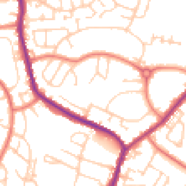
Daytime· 07:00 – 23:00
52.0dB

Night-time· 23:00 – 07:00
41.3dB